190 Andrew Ln Sparta, TN 38583
Estimated Value: $248,000 - $344,000
--
Bed
2
Baths
1,400
Sq Ft
$208/Sq Ft
Est. Value
About This Home
This home is located at 190 Andrew Ln, Sparta, TN 38583 and is currently estimated at $291,492, approximately $208 per square foot. 190 Andrew Ln is a home located in White County with nearby schools including Northfield Elementary School, White County Middle School, and White County High School.
Ownership History
Date
Name
Owned For
Owner Type
Purchase Details
Closed on
Jul 31, 2014
Sold by
Kerr Betty Sue Estate
Bought by
Backes Renee Denise Kerr
Current Estimated Value
Purchase Details
Closed on
Jul 15, 1996
Bought by
Kerr Lloyd and Kerr Betty S
Purchase Details
Closed on
Apr 13, 1995
Bought by
Kerr Lloyd and Kerr Betty S
Purchase Details
Closed on
Mar 15, 1995
Bought by
Sallee Cynthia
Purchase Details
Closed on
Jan 13, 1994
Bought by
Sallee Cynthia
Purchase Details
Closed on
Aug 24, 1987
Bought by
Sallee John and Sallee Cynthia
Create a Home Valuation Report for This Property
The Home Valuation Report is an in-depth analysis detailing your home's value as well as a comparison with similar homes in the area
Home Values in the Area
Average Home Value in this Area
Purchase History
| Date | Buyer | Sale Price | Title Company |
|---|---|---|---|
| Backes Renee Denise Kerr | -- | -- | |
| Kerr Lloyd | $100 | -- | |
| Kerr Lloyd | $76,500 | -- | |
| Sallee Cynthia | $12,700 | -- | |
| Sallee Cynthia | -- | -- | |
| Sallee John | -- | -- |
Source: Public Records
Tax History Compared to Growth
Tax History
| Year | Tax Paid | Tax Assessment Tax Assessment Total Assessment is a certain percentage of the fair market value that is determined by local assessors to be the total taxable value of land and additions on the property. | Land | Improvement |
|---|---|---|---|---|
| 2024 | $905 | $44,150 | $16,925 | $27,225 |
| 2023 | $905 | $44,150 | $16,925 | $27,225 |
| 2022 | $905 | $44,150 | $16,925 | $27,225 |
| 2021 | $905 | $44,150 | $16,925 | $27,225 |
| 2020 | $905 | $44,150 | $16,925 | $27,225 |
| 2019 | $842 | $41,050 | $16,800 | $24,250 |
| 2018 | $842 | $41,050 | $16,800 | $24,250 |
| 2017 | $842 | $41,050 | $16,800 | $24,250 |
| 2016 | $842 | $41,050 | $16,800 | $24,250 |
| 2015 | $727 | $39,300 | $16,800 | $22,500 |
| 2014 | -- | $39,300 | $16,800 | $22,500 |
| 2013 | -- | $27,175 | $4,600 | $22,575 |
Source: Public Records
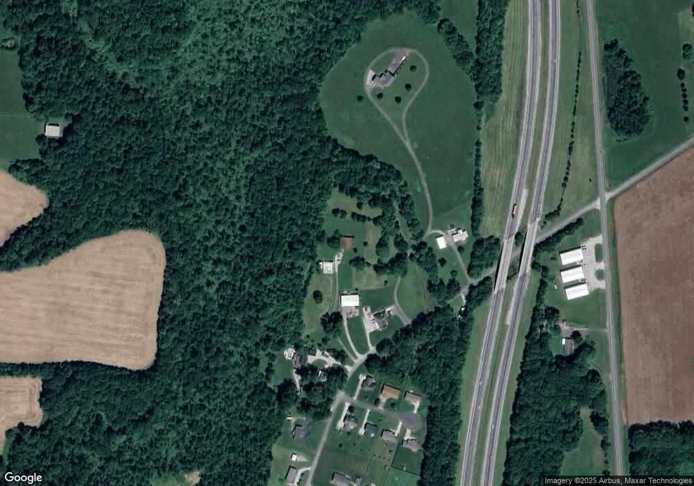
Map
Nearby Homes
- 130 Mallard Dr
- 147 Bob White Dr
- 1045 Mullican Rd
- 366 S Bunker Hill Rd
- 221 Magnolia Rd
- 0 Saylor Rd
- 00 Saylor Rd
- 141 Ray Cemetery Rd
- 156 Horseshoe Dr
- 159 Rustling Oaks Dr
- 191 Rustling Oaks Dr
- 761 Walter Stone Rd
- 1298 S Bunker Hill Rd
- lot 7 James Holman Rd
- lot 6 James Holman Rd
- 00 Milk Plant Rd
- 887 Ray Cemetery Rd
- 00 S Bunker Hill Rd
- 00 Oakcrest Dr
- 332 Mullican Rd
- 332 Mullican Rd
- 240 Mullican Rd
- 297 Mullican Rd
- 382 Mullican Rd
- 119 Mallard Dr
- 135 Mallard Dr
- 114 Mallard Dr
- Lot 12 Mallard Dr
- Lot 11 Mallard Dr
- Lot 14 Mallard Dr
- 151 Mallard Dr
- 12 Mallard Dr
- 11 Mallard Dr
- 13 Mallard Dr
- 420 Mullican Rd
- 154 Mallard Dr
- 140 Mallard Dr
- 456 Mullican Rd
- 131 Bobwhite Dr