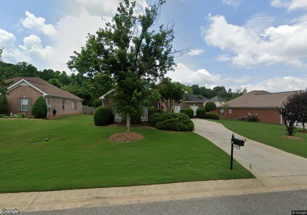
190 Cedar Grove Pkwy Maylene, AL 35114
Estimated Value: $296,000 - $308,000
3
Beds
2
Baths
1,825
Sq Ft
$165/Sq Ft
Est. Value
About This Home
This home is located at 190 Cedar Grove Pkwy, Maylene, AL 35114 and is currently estimated at $301,978, approximately $165 per square foot. 190 Cedar Grove Pkwy is a home located in Shelby County with nearby schools including Thompson Intermediate School, Thompson Middle School, and Thompson High School.
Ownership History
Date
Name
Owned For
Owner Type
Purchase Details
Closed on
Mar 13, 2017
Sold by
Hendrix William Stanley and Davis Sherie Hendrix
Bought by
Williams Edward Derring and Williams Anita Joyce
Current Estimated Value
Purchase Details
Closed on
Apr 29, 2005
Sold by
Reaves John Derell and Reaves Charlene K
Bought by
Davis Abbott G and Davis Sherrie H
Home Financials for this Owner
Home Financials are based on the most recent Mortgage that was taken out on this home.
Original Mortgage
$163,850
Interest Rate
5.88%
Mortgage Type
FHA
Purchase Details
Closed on
Jan 27, 2000
Sold by
Tom Lacey Construction Co Inc
Bought by
Reaves John Derell and Reaves Charlene K
Home Financials for this Owner
Home Financials are based on the most recent Mortgage that was taken out on this home.
Original Mortgage
$100,900
Interest Rate
7.9%
Create a Home Valuation Report for This Property
The Home Valuation Report is an in-depth analysis detailing your home's value as well as a comparison with similar homes in the area
Home Values in the Area
Average Home Value in this Area
Purchase History
| Date | Buyer | Sale Price | Title Company |
|---|---|---|---|
| Williams Edward Derring | $185,000 | None Available | |
| Davis Abbott G | $172,500 | -- | |
| Reaves John Derell | $145,900 | -- |
Source: Public Records
Mortgage History
| Date | Status | Borrower | Loan Amount |
|---|---|---|---|
| Previous Owner | Davis Abbott G | $163,850 | |
| Previous Owner | Reaves John Derell | $100,900 |
Source: Public Records
Tax History Compared to Growth
Tax History
| Year | Tax Paid | Tax Assessment Tax Assessment Total Assessment is a certain percentage of the fair market value that is determined by local assessors to be the total taxable value of land and additions on the property. | Land | Improvement |
|---|---|---|---|---|
| 2024 | $1,483 | $27,460 | $0 | $0 |
| 2023 | $1,046 | $25,960 | $0 | $0 |
| 2022 | $963 | $24,220 | $0 | $0 |
| 2021 | $811 | $21,020 | $0 | $0 |
| 2020 | $734 | $19,400 | $0 | $0 |
| 2019 | $692 | $18,520 | $0 | $0 |
| 2017 | $873 | $16,920 | $0 | $0 |
| 2015 | $824 | $16,020 | $0 | $0 |
| 2014 | $825 | $16,040 | $0 | $0 |
Source: Public Records
Map
Nearby Homes
- 155 Victoria Station
- 236 Queens Gate
- 549 Ramsgate Dr
- 545 Ramsgate Dr
- 208 Queens Gate
- 501 Ramsgate Dr
- 306 Mayfair Cir
- 309 Cedar Grove Ct
- 217 Mayfair Park
- 537 Ramsgate Dr
- 233 Norwick Forest Dr
- 493 Ramsgate Dr
- 280 Cedar Grove Pkwy Unit 34
- 109 Kingsley Cir
- 220 Cedar Meadow
- 256 Cedar Meadow
- 217 Kensington Ln
- 128 Oak St
- 112 Kingsley Ct
- 104 Camden Cir
- 194 Cedar Grove Pkwy
- 186 Cedar Grove Pkwy
- 194 Cedar Grove Pkwy
- 147 Victoria Station
- 182 Cedar Grove Pkwy
- 196 Cedar Grove Pkwy
- 193 Cedar Grove Pkwy
- 141 Victoria Station
- 193 Cedar Grove Pkwy
- 189 Cedar Grove Pkwy
- 197 Cedar Grove Pkwy
- 183 Cedar Grove Pkwy
- 178 Cedar Grove Pkwy
- 137 Victoria Station
- 202 Cedar Grove Pkwy
- 159 Victoria Station
- 179 Cedar Grove Pkwy
- 148 Victoria Station
- 131 Victoria Station