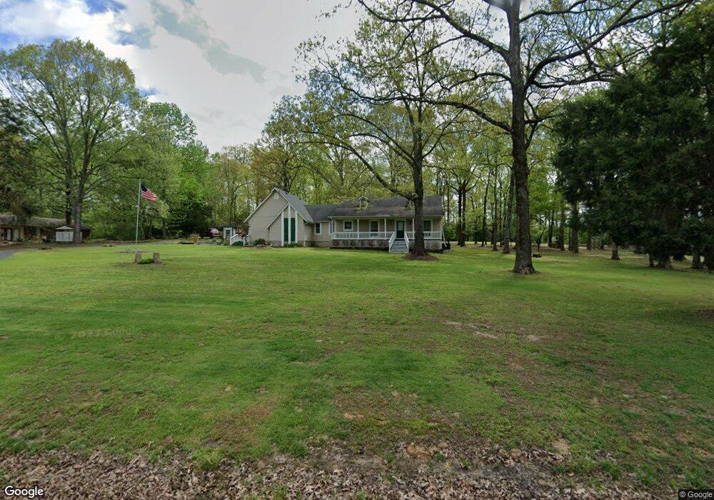
190 Cox Ln Brownsville, TN 38012
Estimated Value: $122,000 - $273,000
--
Bed
2
Baths
1,728
Sq Ft
$119/Sq Ft
Est. Value
About This Home
This home is located at 190 Cox Ln, Brownsville, TN 38012 and is currently estimated at $206,325, approximately $119 per square foot. 190 Cox Ln is a home located in Haywood County with nearby schools including Anderson Early Childhood Center, East Side Elementary School, and Haywood Elementary School.
Ownership History
Date
Name
Owned For
Owner Type
Purchase Details
Closed on
Jul 15, 2025
Sold by
Taylor Edward L and Taylor June W
Bought by
Taylor Edward L and Taylor June W
Current Estimated Value
Purchase Details
Closed on
Mar 28, 1979
Bought by
Taylor Edward L and Taylor June W
Purchase Details
Closed on
Jan 1, 1979
Create a Home Valuation Report for This Property
The Home Valuation Report is an in-depth analysis detailing your home's value as well as a comparison with similar homes in the area
Home Values in the Area
Average Home Value in this Area
Purchase History
| Date | Buyer | Sale Price | Title Company |
|---|---|---|---|
| Taylor Edward L | -- | None Listed On Document | |
| Taylor Edward L | -- | None Listed On Document | |
| Taylor Edward L | -- | -- | |
| -- | $14,500 | -- |
Source: Public Records
Tax History Compared to Growth
Tax History
| Year | Tax Paid | Tax Assessment Tax Assessment Total Assessment is a certain percentage of the fair market value that is determined by local assessors to be the total taxable value of land and additions on the property. | Land | Improvement |
|---|---|---|---|---|
| 2025 | $1,169 | $60,625 | $0 | $0 |
| 2024 | $1,169 | $60,625 | $8,200 | $52,425 |
| 2023 | $956 | $34,700 | $6,575 | $28,125 |
| 2022 | $956 | $34,700 | $6,575 | $28,125 |
| 2021 | $956 | $34,700 | $6,575 | $28,125 |
| 2020 | $956 | $34,700 | $6,575 | $28,125 |
| 2019 | $956 | $34,700 | $6,575 | $28,125 |
| 2018 | $995 | $34,625 | $6,575 | $28,050 |
| 2017 | $995 | $34,625 | $6,575 | $28,050 |
| 2016 | $918 | $34,625 | $6,575 | $28,050 |
| 2015 | $918 | $34,625 | $6,575 | $28,050 |
| 2014 | $829 | $34,625 | $6,575 | $28,050 |
Source: Public Records
Map
Nearby Homes
- 135 Davis Rd
- 855 Springfield Rd
- 1450 Friendship Rd
- 00 Route 76
- 77 Upper Zion Rd
- 2902 Us Highway 79 N
- 0 Deerfield Cove Unit 2504512
- 2397 U S 79
- 1295 Anderson Ave
- 1114 Warren St
- 917 Anderson Ave Unit A
- 2267 Anderson Ave
- 930 Gray St
- 703 Cottonwood Dr
- 105 N Bond Ave
- 411 N Bond Ave
- 470 Marbury Rd
- 1342 Watkins St
- 833 Hatchie St
- 311 W Cooper St