190 Duncan Trail New Tazewell, TN 37825
Estimated Value: $175,028 - $300,000
--
Bed
1
Bath
1,116
Sq Ft
$215/Sq Ft
Est. Value
About This Home
This home is located at 190 Duncan Trail, New Tazewell, TN 37825 and is currently estimated at $240,007, approximately $215 per square foot. 190 Duncan Trail is a home located in Claiborne County.
Ownership History
Date
Name
Owned For
Owner Type
Purchase Details
Closed on
Jun 15, 2010
Sold by
Simpson Catherine
Bought by
Partin Catherine S
Current Estimated Value
Home Financials for this Owner
Home Financials are based on the most recent Mortgage that was taken out on this home.
Original Mortgage
$95,603
Interest Rate
4.5%
Mortgage Type
FHA
Purchase Details
Closed on
Nov 17, 2004
Sold by
Simpson Catherine
Bought by
Simpson Catherine
Home Financials for this Owner
Home Financials are based on the most recent Mortgage that was taken out on this home.
Original Mortgage
$54,900
Interest Rate
5.6%
Purchase Details
Closed on
Jul 22, 2004
Sold by
Holt Dwayne
Bought by
Simpson Catherine
Purchase Details
Closed on
Apr 9, 2003
Sold by
Holt Dwayne
Bought by
Simpson Catherine
Purchase Details
Closed on
May 17, 2002
Sold by
Mcmurray James
Bought by
Holt Dwayne
Purchase Details
Closed on
Jun 24, 1999
Bought by
Mcmurray James C and Mcmurray Sandra J
Purchase Details
Closed on
Mar 30, 1989
Bought by
Melton Wayne and Melton Judy
Purchase Details
Closed on
Mar 28, 1989
Purchase Details
Closed on
Jan 1, 1974
Bought by
Lynch Ted and Lynch Bundren A
Create a Home Valuation Report for This Property
The Home Valuation Report is an in-depth analysis detailing your home's value as well as a comparison with similar homes in the area
Home Values in the Area
Average Home Value in this Area
Purchase History
| Date | Buyer | Sale Price | Title Company |
|---|---|---|---|
| Partin Catherine S | -- | -- | |
| Simpson Catherine | -- | -- | |
| Simpson Catherine | -- | -- | |
| Simpson Catherine | $42,000 | -- | |
| Holt Dwayne | $10,000 | -- | |
| Mcmurray James C | $500 | -- | |
| Melton Wayne | -- | -- | |
| -- | -- | -- | |
| Lynch Ted | -- | -- |
Source: Public Records
Mortgage History
| Date | Status | Borrower | Loan Amount |
|---|---|---|---|
| Closed | Lynch Ted | $95,603 | |
| Previous Owner | Lynch Ted | $54,900 |
Source: Public Records
Tax History Compared to Growth
Tax History
| Year | Tax Paid | Tax Assessment Tax Assessment Total Assessment is a certain percentage of the fair market value that is determined by local assessors to be the total taxable value of land and additions on the property. | Land | Improvement |
|---|---|---|---|---|
| 2024 | $761 | $32,500 | $2,450 | $30,050 |
| 2023 | $761 | $32,500 | $2,450 | $30,050 |
| 2022 | $650 | $32,500 | $2,450 | $30,050 |
| 2021 | $612 | $23,725 | $2,150 | $21,575 |
| 2020 | $612 | $23,725 | $2,150 | $21,575 |
| 2019 | $612 | $23,725 | $2,150 | $21,575 |
| 2018 | $612 | $23,725 | $2,150 | $21,575 |
| 2017 | $612 | $23,725 | $2,150 | $21,575 |
| 2016 | $638 | $24,725 | $2,150 | $22,575 |
| 2015 | $613 | $24,725 | $2,150 | $22,575 |
| 2014 | $613 | $24,703 | $0 | $0 |
Source: Public Records
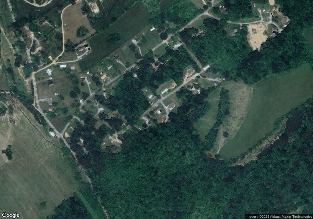
Map
Nearby Homes
- 162 Wilderness Dr
- 112 Sunflower Ln
- 346 Bailey Dr
- 8 Grandview Ln
- 7 Grandview Ln
- 6 Grandview Ln
- 275 Grandview Ln
- 1087 Harmon Rd
- 454 Atkins Rd
- 306 Mountain Rd
- 115 Red Oak Ln
- 352 Rutherford Dr
- 216 Mountain Rd
- 218 Adair Dr
- 137 Adair Dr
- 0 Harmon Rd
- 0 Harmon Cir
- 323 Harmon Rd
- Lot 1 Harmon Rd
- 117 Mallory Dr
- 0 Duncan Unit 640141
- 0 Duncan Unit 640137
- 0 Duncan Unit 689144
- 0 Duncan Unit 689143
- 159 Duncan Trail
- 198 Shumate Dr
- 234 Duncan Trail
- 243 Duncan Trail
- 526 Garnet Trail
- 115 Duncan Trail
- 223 Shumate Dr
- 256 Duncan Trail
- 124 Shumate Dr
- 0 Shumate Dr
- 151 Shumate Dr
- 135 Shumate Dr
- 253 Shumate Dr
- 110 Wilderness Dr
- 1298 Mountain Rd
- 1252 Mountain Rd