190 E Olmstead Dr Unit I1 Titusville, FL 32780
Estimated Value: $136,878 - $182,000
--
Bed
--
Bath
1,223
Sq Ft
$129/Sq Ft
Est. Value
About This Home
This home is located at 190 E Olmstead Dr Unit I1, Titusville, FL 32780 and is currently estimated at $158,220, approximately $129 per square foot. 190 E Olmstead Dr Unit I1 is a home located in Brevard County with nearby schools including Coquina Elementary School, Titusville High School, and Andrew Jackson Middle School.
Ownership History
Date
Name
Owned For
Owner Type
Purchase Details
Closed on
Aug 4, 2015
Sold by
Sellers Bruce W and Sellers Rose F
Bought by
Sellers Family Trust
Current Estimated Value
Purchase Details
Closed on
Jan 22, 2002
Sold by
Lauren Firestone John P and Lauren Zangardner
Bought by
Sellers Bruce W and Sellers Rose F
Home Financials for this Owner
Home Financials are based on the most recent Mortgage that was taken out on this home.
Original Mortgage
$44,000
Interest Rate
6.89%
Create a Home Valuation Report for This Property
The Home Valuation Report is an in-depth analysis detailing your home's value as well as a comparison with similar homes in the area
Home Values in the Area
Average Home Value in this Area
Purchase History
| Date | Buyer | Sale Price | Title Company |
|---|---|---|---|
| Sellers Family Trust | -- | Attorney | |
| Sellers Bruce W | $55,000 | -- |
Source: Public Records
Mortgage History
| Date | Status | Borrower | Loan Amount |
|---|---|---|---|
| Previous Owner | Sellers Bruce W | $44,000 |
Source: Public Records
Tax History Compared to Growth
Tax History
| Year | Tax Paid | Tax Assessment Tax Assessment Total Assessment is a certain percentage of the fair market value that is determined by local assessors to be the total taxable value of land and additions on the property. | Land | Improvement |
|---|---|---|---|---|
| 2025 | $477 | $52,310 | -- | -- |
| 2024 | $457 | $50,840 | -- | -- |
| 2023 | $457 | $49,360 | $0 | $0 |
| 2022 | $494 | $47,930 | $0 | $0 |
| 2021 | $490 | $46,540 | $0 | $0 |
| 2020 | $485 | $45,900 | $0 | $0 |
| 2019 | $483 | $44,870 | $0 | $0 |
| 2018 | $478 | $44,040 | $0 | $0 |
| 2017 | $466 | $43,140 | $0 | $0 |
| 2016 | $413 | $42,260 | $0 | $0 |
| 2015 | $421 | $41,970 | $0 | $0 |
| 2014 | $415 | $41,640 | $0 | $0 |
Source: Public Records
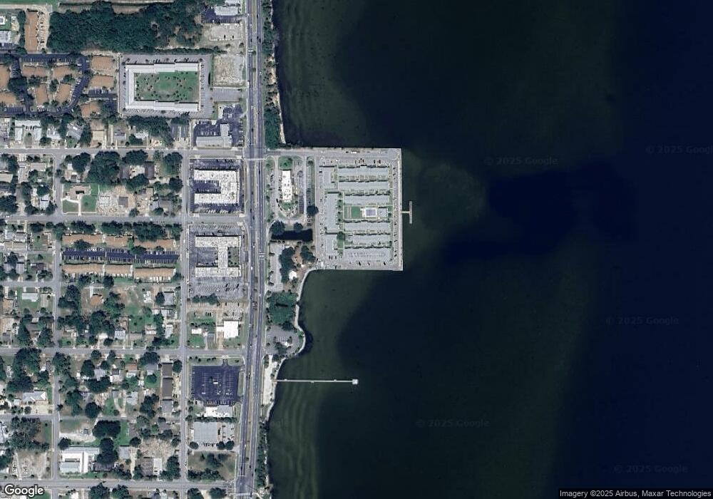
Map
Nearby Homes
- 190 E Olmstead Dr Unit E8
- 190 E Olmstead Dr Unit B7
- 190 E Olmstead Dr Unit D-11
- 190 E Olmstead Dr Unit A-1
- 112 Delespine Ave
- 3918 Mount Vernon Ave
- 3936 Mount Vernon Ave
- 3915 Mount Sterling Ave
- 313 Oleander Place
- 307 La Paloma Ln Unit A3
- 313 La Paloma Ln
- 3755 S Hopkins Ave Unit 6C
- 4245 Mount Sterling Ave
- 219 Coronada Blvd
- 00 S Washington Ave
- 530 Bella Vista Dr
- 350 Delespine Ave
- 585 Bella Vista Dr
- 350 Maple Place
- 3620 Belle Arbor Cir
- 190 E Olmstead Dr Unit 6
- 190 E Olmstead Dr Unit 5
- 190 E Olmstead Dr Unit 1
- 190 E Olmstead Dr Unit 9
- 190 E Olmstead Dr Unit 7
- 190 E Olmstead Dr Unit D8
- 190 E Olmstead Dr Unit E10
- 190 E Olmstead Dr Unit A4
- 190 E Olmstead Dr Unit H11
- 190 E Olmstead Dr Unit F30
- 190 E Olmstead Dr Unit E2
- 190 E Olmstead Dr Unit C2
- 190 E Olmstead Dr Unit B8
- 190 E Olmstead Dr Unit F18
- 190 E Olmstead Dr Unit B16
- 190 E Olmstead Dr Unit H4
- 190 E Olmstead Dr Unit A6
- 190 E Olmstead Dr Unit H10
- 190 E Olmstead Dr Unit G5
- 190 E Olmstead Dr Unit F15