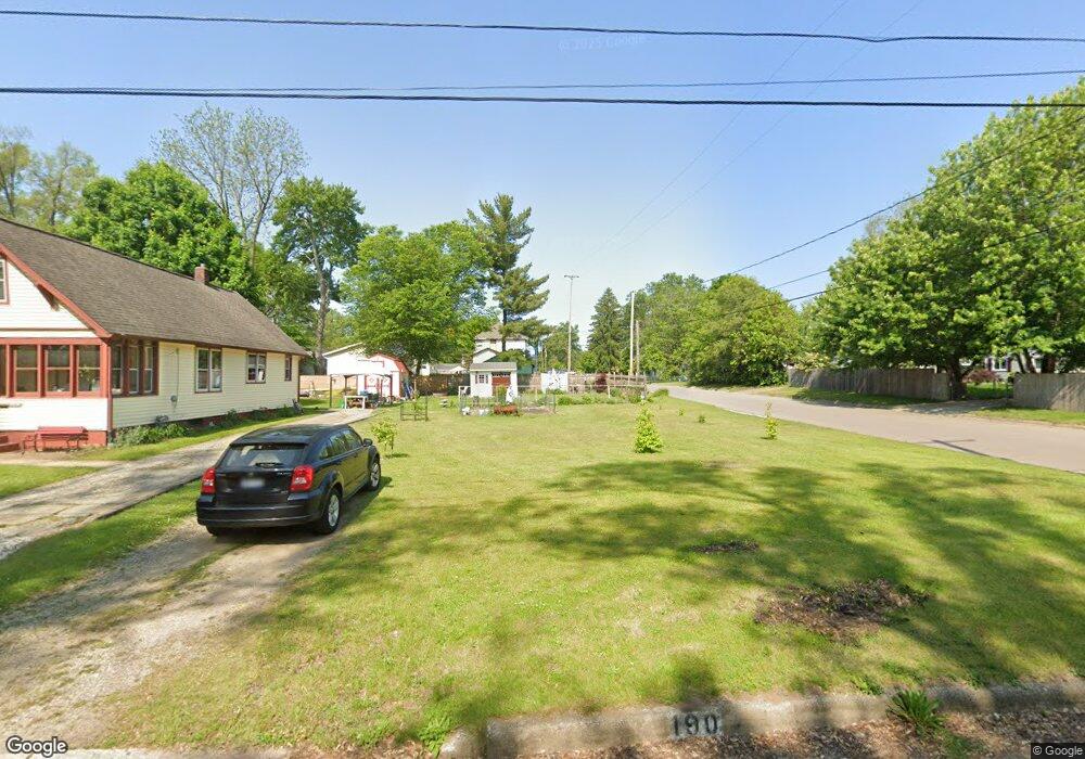
190 Euclid St Battle Creek, MI 49014
Estimated Value: $76,000 - $92,000
4
Beds
2
Baths
1,165
Sq Ft
$72/Sq Ft
Est. Value
About This Home
This home is located at 190 Euclid St, Battle Creek, MI 49014 and is currently estimated at $84,000, approximately $72 per square foot. 190 Euclid St is a home located in Calhoun County with nearby schools including Post-Franklin Elementary School, Springfield Middle School, and Battle Creek Central High School.
Ownership History
Date
Name
Owned For
Owner Type
Purchase Details
Closed on
Apr 15, 2019
Sold by
Calhoun County Land Bank Authority
Bought by
Scantlen Gary R and Scantlen Gayle M
Current Estimated Value
Purchase Details
Closed on
Dec 1, 2016
Sold by
Calhoun County Treasurer
Bought by
Calhoun County Land Bank Authority
Purchase Details
Closed on
May 17, 2011
Sold by
Household Finance Corporation Iii
Bought by
Cornish Lee
Purchase Details
Closed on
Dec 16, 2010
Sold by
Blowers Russell Eugene and Masten Tara
Bought by
Household Finance Corporation Iii
Purchase Details
Closed on
Jun 20, 2003
Sold by
Johnson William
Bought by
U.S. Bank National Association
Purchase Details
Closed on
Mar 17, 1998
Sold by
Johnson William
Purchase Details
Closed on
Mar 28, 1997
Bought by
Johnson William
Create a Home Valuation Report for This Property
The Home Valuation Report is an in-depth analysis detailing your home's value as well as a comparison with similar homes in the area
Home Values in the Area
Average Home Value in this Area
Purchase History
| Date | Buyer | Sale Price | Title Company |
|---|---|---|---|
| Scantlen Gary R | -- | None Available | |
| Calhoun County Land Bank Authority | -- | Attorney | |
| Cornish Lee | $2,200 | Parks Title | |
| Household Finance Corporation Iii | $4,080 | None Available | |
| U.S. Bank National Association | $45,900 | -- | |
| -- | $25,000 | -- | |
| Johnson William | $25,000 | -- |
Source: Public Records
Tax History Compared to Growth
Tax History
| Year | Tax Paid | Tax Assessment Tax Assessment Total Assessment is a certain percentage of the fair market value that is determined by local assessors to be the total taxable value of land and additions on the property. | Land | Improvement |
|---|---|---|---|---|
| 2025 | $37 | $1,950 | $0 | $0 |
| 2024 | $18 | $910 | $0 | $0 |
| 2023 | $36 | $910 | $0 | $0 |
| 2022 | $18 | $900 | $0 | $0 |
| 2021 | $34 | $900 | $0 | $0 |
| 2020 | $36 | $900 | $0 | $0 |
| 2019 | $0 | $0 | $0 | $0 |
| 2018 | $0 | $0 | $0 | $0 |
| 2017 | $911 | $0 | $0 | $0 |
| 2016 | $911 | $17,550 | $0 | $0 |
| 2015 | $484 | $16,600 | $2,456 | $14,144 |
| 2014 | $484 | $16,750 | $2,456 | $14,294 |
Source: Public Records
Map
Nearby Homes
- 194 Euclid St
- 197 Illinois St
- 198 Euclid St
- 138 Euclid St
- 203 Illinois St
- 167 Illinois St
- 200 Euclid St
- 201 Euclid St
- 136 Euclid St
- 211 Illinois St
- 161 Euclid St
- 215 Illinois St
- 163 Illinois St Unit 165
- 204 Euclid St
- 130 Euclid St
- 219 Illinois St
- 203 Euclid St
- 168 Illinois St
- 129 Euclid St
- 200 Illinois St