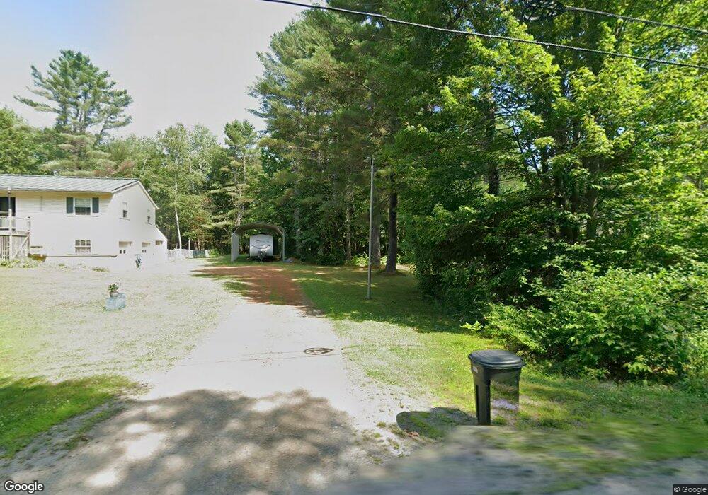
190 Knights Rd Albion, ME 04910
Estimated Value: $248,677 - $346,000
3
Beds
2
Baths
1,900
Sq Ft
$150/Sq Ft
Est. Value
About This Home
This home is located at 190 Knights Rd, Albion, ME 04910 and is currently estimated at $285,919, approximately $150 per square foot. 190 Knights Rd is a home with nearby schools including Lawrence High School.
Ownership History
Date
Name
Owned For
Owner Type
Purchase Details
Closed on
Sep 23, 2005
Sold by
Lacroix Betty A
Bought by
Lacroix Lawrence M and Lacroix Betty A
Current Estimated Value
Home Financials for this Owner
Home Financials are based on the most recent Mortgage that was taken out on this home.
Original Mortgage
$40,000
Interest Rate
5.92%
Mortgage Type
Commercial
Create a Home Valuation Report for This Property
The Home Valuation Report is an in-depth analysis detailing your home's value as well as a comparison with similar homes in the area
Home Values in the Area
Average Home Value in this Area
Purchase History
| Date | Buyer | Sale Price | Title Company |
|---|---|---|---|
| Lacroix Lawrence M | -- | -- |
Source: Public Records
Mortgage History
| Date | Status | Borrower | Loan Amount |
|---|---|---|---|
| Closed | Lacroix Lawrence M | $40,000 |
Source: Public Records
Tax History
| Year | Tax Paid | Tax Assessment Tax Assessment Total Assessment is a certain percentage of the fair market value that is determined by local assessors to be the total taxable value of land and additions on the property. | Land | Improvement |
|---|---|---|---|---|
| 2025 | $2,915 | $163,300 | $29,200 | $134,100 |
| 2024 | $2,556 | $163,300 | $29,200 | $134,100 |
| 2023 | $2,327 | $163,300 | $29,200 | $134,100 |
| 2022 | $2,068 | $124,600 | $22,300 | $102,300 |
| 2021 | $2,193 | $124,600 | $22,300 | $102,300 |
| 2020 | $2,508 | $124,600 | $22,300 | $102,300 |
| 2019 | $8,754 | $124,600 | $22,300 | $102,300 |
| 2018 | $3,163 | $124,600 | $22,300 | $102,300 |
| 2017 | $2 | $124,600 | $22,300 | $102,300 |
| 2016 | $1,962 | $124,600 | $22,300 | $102,300 |
| 2015 | $1,931 | $124,600 | $22,300 | $102,300 |
| 2014 | $1,869 | $124,600 | $22,300 | $102,300 |
| 2013 | $1,807 | $124,600 | $22,300 | $102,300 |
Source: Public Records
Map
Nearby Homes
- 31, 31-1 Weymouth Rd
- 17 Main St
- 137 China Rd
- 45 Marden Shore Rd
- 118 Marden Shore Rd
- M5 L27-3 Marks Rd
- Lot #58 S Vigue Shore Rd
- 12 Country View Ln
- 163 Ayer Ridge Rd
- 67 Belfast Rd
- Lot 3-1 Bryant Rd
- 87 Yorktown Rd
- 19-04 Acorn Ln
- 142 Abbott Rd
- Lot 24 Off Arnold Lane Palermo Ln
- 149 Carey Ln
- 257 Pleasant View Ridge Rd
- 498 Morrill Rd
- tba McCaslin Rd
- 653 Abbott Rd
- 206 Knights Rd
- 200 Knights Rd
- 178 Knights Rd
- 211 Knights Rd
- 225 Knights Rd
- 233 Knights Rd
- 267 Knights Rd
- 137 Knights Rd
- 127 Knights Rd
- 0 Quaker Hill & Knights Rd Unit 1208070
- 268 Knights Rd
- 139 Quaker Hill Rd
- 277 Knights Rd
- 291 Knights Rd
- 41 Quaker Hill Rd
- 00 Knights Rd
- 56 Quaker Hill Rd
- 150 Quaker Hill Rd
- 158 Quaker Hill Rd
- 21 Quaker Hill Rd
Your Personal Tour Guide
Ask me questions while you tour the home.