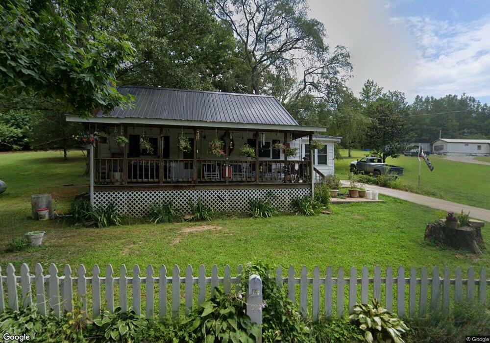
190 Mayfield Ln Stewart, TN 37175
Estimated Value: $120,343 - $150,000
--
Bed
1
Bath
1,020
Sq Ft
$126/Sq Ft
Est. Value
About This Home
This home is located at 190 Mayfield Ln, Stewart, TN 37175 and is currently estimated at $128,336, approximately $125 per square foot. 190 Mayfield Ln is a home located in Houston County.
Ownership History
Date
Name
Owned For
Owner Type
Purchase Details
Closed on
Oct 27, 2016
Sold by
Community Action Network
Bought by
Fryman Doreen Sue and Bryant Donald James
Current Estimated Value
Home Financials for this Owner
Home Financials are based on the most recent Mortgage that was taken out on this home.
Original Mortgage
$36,106
Outstanding Balance
$4,875
Interest Rate
3.42%
Mortgage Type
New Conventional
Estimated Equity
$123,461
Purchase Details
Closed on
Aug 26, 2014
Sold by
Hallows Ronald W
Bought by
Community Action Newtork Inc
Purchase Details
Closed on
Dec 17, 1991
Bought by
Hallows Ostell
Purchase Details
Closed on
Jun 27, 1991
Bought by
Hall Marie
Purchase Details
Closed on
Jun 11, 1985
Bought by
Hall Marie
Create a Home Valuation Report for This Property
The Home Valuation Report is an in-depth analysis detailing your home's value as well as a comparison with similar homes in the area
Home Values in the Area
Average Home Value in this Area
Purchase History
| Date | Buyer | Sale Price | Title Company |
|---|---|---|---|
| Fryman Doreen Sue | $36,106 | -- | |
| Community Action Newtork Inc | $40,000 | -- | |
| Hallows Ostell | $28,000 | -- | |
| Hall Marie | -- | -- | |
| Hall Marie | -- | -- |
Source: Public Records
Mortgage History
| Date | Status | Borrower | Loan Amount |
|---|---|---|---|
| Open | Fryman Doreen Sue | $36,106 |
Source: Public Records
Tax History Compared to Growth
Tax History
| Year | Tax Paid | Tax Assessment Tax Assessment Total Assessment is a certain percentage of the fair market value that is determined by local assessors to be the total taxable value of land and additions on the property. | Land | Improvement |
|---|---|---|---|---|
| 2024 | $416 | $23,375 | $4,325 | $19,050 |
| 2023 | $416 | $23,375 | $4,325 | $19,050 |
| 2022 | $382 | $13,650 | $2,975 | $10,675 |
| 2021 | $382 | $13,650 | $2,975 | $10,675 |
| 2020 | $473 | $13,650 | $2,975 | $10,675 |
| 2019 | $473 | $14,825 | $4,175 | $10,650 |
| 2018 | $473 | $14,825 | $4,175 | $10,650 |
| 2017 | $473 | $14,825 | $4,175 | $10,650 |
| 2016 | $473 | $14,825 | $4,175 | $10,650 |
| 2015 | $568 | $17,790 | $5,010 | $12,780 |
| 2014 | -- | $14,634 | $0 | $0 |
Source: Public Records
Map
Nearby Homes
- 85 Lakeview Ln
- 10120 Highway 147
- 0 Highway 232 Unit 25510404
- 79 Overlook Ln
- 71 Overlook Ln
- 67 Overlook Ln
- 35 Airport Ln
- 372 Cheree Loop
- 11175 Highway 147
- 0 Rocky Point Rd Unit RTC2700425
- 943 Overlook Trail
- 8955 Tennessee 147
- 0 Overlook Trail
- 0 Day Cemetery Ln
- 78 Vista Ridge Dr
- 0 Vista Ridge Dr
- 33 Vista Ridge Dr
- 1025 Vista Ridge Dr
- 27 Vista Ridge Dr
- 0 Lake Ridge Dr Unit RTC3017496
- 19 Lakeview Ln
- 171 Mayfield Ln
- 360 Mayfield Ln
- 15 Muscadine Ln
- 55 Lakeview Ln
- 55 Muscadine Ln
- 270 Mayfield Ln
- 70 Lakeview Ln
- 81 Mayfield Ln
- 105 Lakeview Ln
- 66 Mayfield Rd
- 190 Lakeview Ln
- 66 Mayfield Ln
- 95 Muscadine Ln
- 131 Lakeview Ln
- 196 Lakeview Ln Unit 201
- 61 Mayfield Ln
- 94 Muscadine Ln
- 171 Lakeview Ln
- 10328 Highway 147