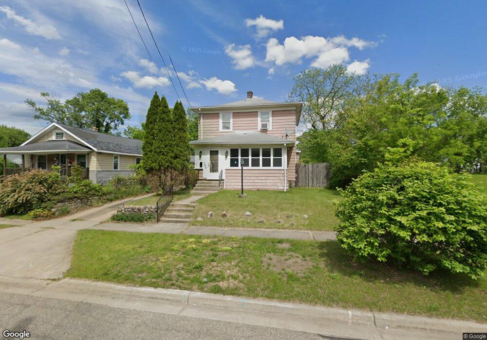
190 Oneita St Battle Creek, MI 49037
North Central NeighborhoodEstimated Value: $111,000 - $137,000
3
Beds
2
Baths
1,632
Sq Ft
$75/Sq Ft
Est. Value
About This Home
This home is located at 190 Oneita St, Battle Creek, MI 49037 and is currently estimated at $123,041, approximately $75 per square foot. 190 Oneita St is a home located in Calhoun County with nearby schools including Dudley School, Northwestern Middle School, and Battle Creek Central High School.
Ownership History
Date
Name
Owned For
Owner Type
Purchase Details
Closed on
Sep 9, 2016
Sold by
Wilkey Eric
Bought by
Petlick Daniela
Current Estimated Value
Purchase Details
Closed on
May 11, 2015
Sold by
Neil Thomas H O and Emerald Property Group Fund I
Bought by
Wilkey Erik
Purchase Details
Closed on
Mar 13, 2015
Sold by
Federal Home Loan Mortgage Corporation
Bought by
Emerald Property Group Llc
Purchase Details
Closed on
Oct 2, 2014
Sold by
Sanders Rosetta and Wells Fargo Bank Na
Bought by
Federal Home Loan Mortgage Corporation
Purchase Details
Closed on
Oct 24, 1995
Bought by
Saunders
Create a Home Valuation Report for This Property
The Home Valuation Report is an in-depth analysis detailing your home's value as well as a comparison with similar homes in the area
Home Values in the Area
Average Home Value in this Area
Purchase History
| Date | Buyer | Sale Price | Title Company |
|---|---|---|---|
| Petlick Daniela | -- | None Available | |
| Wilkey Erik | -- | None Available | |
| Emerald Property Group Llc | $3,916 | A S K Services Inc | |
| Federal Home Loan Mortgage Corporation | $425 | None Available | |
| Saunders | -- | -- |
Source: Public Records
Tax History Compared to Growth
Tax History
| Year | Tax Paid | Tax Assessment Tax Assessment Total Assessment is a certain percentage of the fair market value that is determined by local assessors to be the total taxable value of land and additions on the property. | Land | Improvement |
|---|---|---|---|---|
| 2025 | -- | $45,600 | $0 | $0 |
| 2024 | $805 | $37,964 | $0 | $0 |
| 2023 | $920 | $32,393 | $0 | $0 |
| 2022 | $727 | $26,557 | $0 | $0 |
| 2021 | $868 | $24,870 | $0 | $0 |
| 2020 | $865 | $19,363 | $0 | $0 |
| 2019 | $888 | $17,991 | $0 | $0 |
| 2018 | $888 | $18,601 | $1,080 | $17,521 |
| 2017 | $1,301 | $21,101 | $0 | $0 |
| 2016 | $1,788 | $24,024 | $0 | $0 |
| 2015 | $338 | $25,604 | $5,404 | $20,200 |
| 2014 | $338 | $3,912 | $0 | $0 |
Source: Public Records
Map
Nearby Homes
- 188 Roseneath Ave
- 5 Beglin Ct
- 435 Kendall St N
- 52 Roseneath Ave
- 224 Hubbard St
- 216 Kendall St N
- 253 Greenwood Ave
- 125 Oaklawn Ave
- 129 Fox Ave
- 89 Somerset Ave
- 60 Graves Ave
- 69 Jordan St
- 46 Walter Ave
- 35 Hubbard St
- 562 Van Buren St W
- 161 Wilds Ave
- 0 W Vanburen 027 St Unit 22040287
- 0 W Vanburen 025 St Unit 22040286
- 0 W Vanburen 032 St Unit 22040288
- 0 W Michigan 011 Ave Unit 22040285
- 190 Oneita St N
- 178 Oneita St
- 192 Oneita St
- 179 Oneita St
- 194 Oneita St
- 175 Oneita St
- 170 Oneita St
- 189 Oneita St
- 193 Oneita St
- 145 Roosevelt Ave W
- 195 Oneita St
- 169 Oneita St
- 135 Roosevelt Ave W
- 166 Oneita St
- 199 Oneita St
- 351 Kendall St N
- 361 Kendall St N
- 341 Kendall St N
- 365 Kendall St N
- 337 Kendall St N