190 Oyster Way Osterville, MA 2655
Osterville NeighborhoodEstimated Value: $1,617,000 - $2,442,472
--
Bed
--
Bath
--
Sq Ft
1.02
Acres
About This Home
This home is located at 190 Oyster Way, Osterville, MA 2655 and is currently estimated at $2,087,868. 190 Oyster Way is a home located in Barnstable County with nearby schools including West Villages Elementary School, Barnstable United Elementary School, and Barnstable Intermediate School.
Ownership History
Date
Name
Owned For
Owner Type
Purchase Details
Closed on
Jun 10, 2003
Sold by
Swan Joseph E and Swan Denise G
Bought by
190 Oyster Way Rt and Navins Peter L
Current Estimated Value
Purchase Details
Closed on
Jun 7, 2002
Sold by
Landtr Henry H Hoyt Jr and Hoyt Henry H
Bought by
Swan Joseph E and Swan Denise G
Home Financials for this Owner
Home Financials are based on the most recent Mortgage that was taken out on this home.
Original Mortgage
$700,000
Interest Rate
6.9%
Mortgage Type
Purchase Money Mortgage
Create a Home Valuation Report for This Property
The Home Valuation Report is an in-depth analysis detailing your home's value as well as a comparison with similar homes in the area
Home Values in the Area
Average Home Value in this Area
Purchase History
| Date | Buyer | Sale Price | Title Company |
|---|---|---|---|
| 190 Oyster Way Rt | $1,050,000 | -- | |
| Swan Joseph E | $950,000 | -- |
Source: Public Records
Mortgage History
| Date | Status | Borrower | Loan Amount |
|---|---|---|---|
| Previous Owner | Swan Joseph E | $700,000 |
Source: Public Records
Tax History Compared to Growth
Tax History
| Year | Tax Paid | Tax Assessment Tax Assessment Total Assessment is a certain percentage of the fair market value that is determined by local assessors to be the total taxable value of land and additions on the property. | Land | Improvement |
|---|---|---|---|---|
| 2025 | $13,861 | $1,713,300 | $1,713,300 | $0 |
| 2024 | $13,381 | $1,713,300 | $1,713,300 | $0 |
| 2023 | $11,251 | $1,349,000 | $1,349,000 | $0 |
| 2022 | $9,754 | $1,011,800 | $1,011,800 | $0 |
| 2021 | $10,926 | $1,041,600 | $1,041,600 | $0 |
| 2020 | $12,167 | $1,110,100 | $1,110,100 | $0 |
| 2019 | $11,448 | $1,014,900 | $1,014,900 | $0 |
| 2018 | $11,985 | $1,068,200 | $1,068,200 | $0 |
| 2017 | $11,494 | $1,068,200 | $1,068,200 | $0 |
| 2016 | $11,952 | $1,096,500 | $1,096,500 | $0 |
| 2015 | $11,057 | $1,019,100 | $1,019,100 | $0 |
Source: Public Records
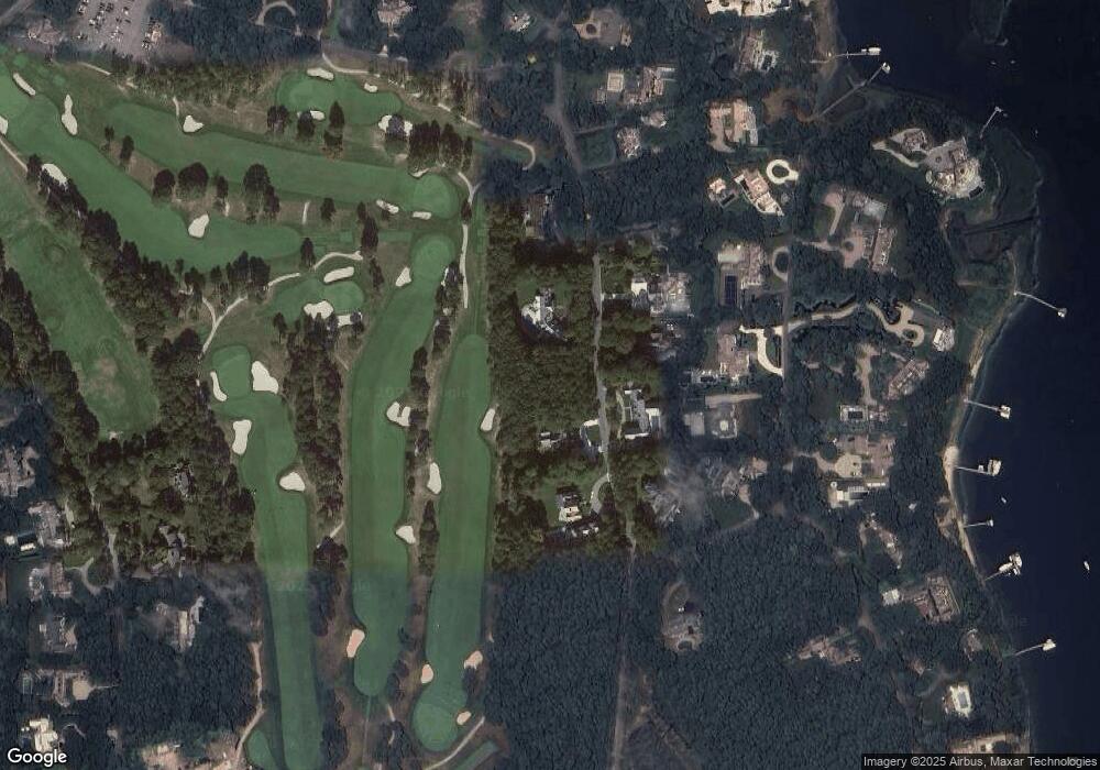
Map
Nearby Homes
- 25 Oyster Way
- Lot 289 Seapuit River B Rd
- Lot 288 Seapuit River A Rd
- 440 Grand Island Dr
- 405 Bridge St
- 14 Indian Trail
- Lot 289 Seapuit River Road B
- Lot 288 Seapuit River Rd A
- 71 Sand Point
- 255 Bayberry Way
- 835 Old Post Rd
- 168 Garrison Ln
- 850 Sea View Ave
- 564 Cotuit Bay Dr
- 564 Cotuit Bay Dr
- 135 Putnam Ave
- 426 Old Post Rd
- 414 Eel River Rd
- 916 Main St
- 501 Eel River Rd
- 208 Oyster Way
- 61 Oyster Way
- 170 Oyster Way
- 201 Oyster Way
- 201 Oyster Way
- 185 Oyster Way
- 222 Oyster Way
- 169 Oyster Way
- 225 Oyster Way
- 150 Oyster Way
- 155 Carriage Rd
- 169 Carriage Rd
- 155 Oyster Way
- 244 Oyster Way
- 145 Oyster Way
- 135 Carriage Rd
- 30 Pheasant Path
- 177 Carriage Rd
- 264 Oyster Way
- 150 Carriage Rd