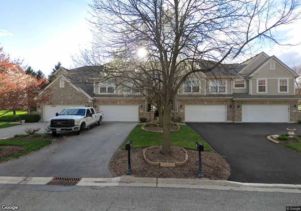
190 River Mist Dr Unit 1 Oswego, IL 60543
Northwest Oswego NeighborhoodEstimated Value: $363,000 - $398,000
2
Beds
3
Baths
1,827
Sq Ft
$207/Sq Ft
Est. Value
About This Home
This home is located at 190 River Mist Dr Unit 1, Oswego, IL 60543 and is currently estimated at $378,153, approximately $206 per square foot. 190 River Mist Dr Unit 1 is a home located in Kendall County with nearby schools including Fox Chase Elementary School, Traughber Junior High School, and Oswego High School.
Ownership History
Date
Name
Owned For
Owner Type
Purchase Details
Closed on
May 9, 2003
Sold by
River Mist Partners Llc
Bought by
Niksic Richard C
Current Estimated Value
Home Financials for this Owner
Home Financials are based on the most recent Mortgage that was taken out on this home.
Original Mortgage
$235,900
Outstanding Balance
$94,733
Interest Rate
4.75%
Mortgage Type
Purchase Money Mortgage
Estimated Equity
$283,420
Create a Home Valuation Report for This Property
The Home Valuation Report is an in-depth analysis detailing your home's value as well as a comparison with similar homes in the area
Home Values in the Area
Average Home Value in this Area
Purchase History
| Date | Buyer | Sale Price | Title Company |
|---|---|---|---|
| Niksic Richard C | $249,000 | First American Title Ins Co |
Source: Public Records
Mortgage History
| Date | Status | Borrower | Loan Amount |
|---|---|---|---|
| Open | Niksic Richard C | $235,900 |
Source: Public Records
Tax History Compared to Growth
Tax History
| Year | Tax Paid | Tax Assessment Tax Assessment Total Assessment is a certain percentage of the fair market value that is determined by local assessors to be the total taxable value of land and additions on the property. | Land | Improvement |
|---|---|---|---|---|
| 2024 | $8,076 | $106,358 | $18,755 | $87,603 |
| 2023 | $6,368 | $93,297 | $16,452 | $76,845 |
| 2022 | $6,368 | $85,594 | $15,094 | $70,500 |
| 2021 | $6,598 | $81,518 | $14,375 | $67,143 |
| 2020 | $6,587 | $80,711 | $14,233 | $66,478 |
| 2019 | $6,388 | $77,546 | $14,233 | $63,313 |
| 2018 | $6,068 | $74,030 | $13,588 | $60,442 |
| 2017 | $5,835 | $67,917 | $12,466 | $55,451 |
| 2016 | $5,648 | $65,305 | $11,987 | $53,318 |
| 2015 | $5,924 | $65,305 | $11,987 | $53,318 |
| 2014 | -- | $63,403 | $11,638 | $51,765 |
| 2013 | -- | $64,044 | $11,756 | $52,288 |
Source: Public Records
Map
Nearby Homes
- 135 River Mist Dr Unit 2
- 156 River Mist Dr
- 1721 State Route 31
- 403 Lake Ct
- 505 Parkland Ct
- 466 Greenview Ln
- 23 Orchard Ave
- 34 N Adams St
- 2100 Light Rd Unit 109
- 2700 Light Rd Unit 205
- 5055 U S 34
- 170 Chicago Rd
- 613 Murdock Place
- 421 Hathaway Ln
- 423 Hathaway Ln
- 377 Danforth Dr
- 173 Dolores St
- 629 Manhattan Cir
- 7.43 Acres Vacant La State Route 31
- 409 Fawn Dr
- 192 River Mist Dr
- 186 River Mist Dr
- 186 River Mist Dr Unit 186
- 194 River Mist Dr
- 184 River Mist Dr
- 196 River Mist Dr
- 182 River Mist Dr Unit 2
- 180 River Mist Dr
- 197 River Mist Dr Unit 1
- 195 River Mist Dr Unit 2
- 191 River Mist Dr Unit 4
- 176 River Mist Dr
- 187 River Mist Dr Unit 1
- 174 River Mist Dr
- 185 River Mist Dr Unit 2
- 172 River Mist Dr
- 183 River Mist Dr Unit 3
- 104 River Mist Dr
- 106 River Mist Dr
- 102 River Mist Dr