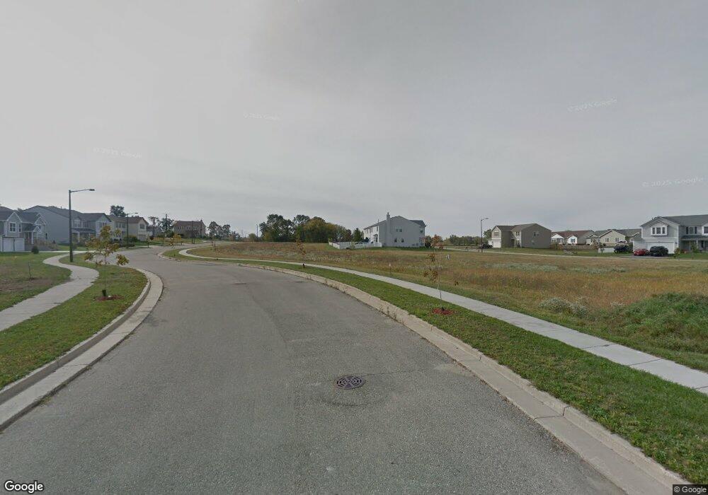
190 S Locust Ln Whitewater, WI 53190
Estimated Value: $334,000 - $386,000
--
Bed
--
Bath
--
Sq Ft
9,148
Sq Ft Lot
About This Home
This home is located at 190 S Locust Ln, Whitewater, WI 53190 and is currently estimated at $352,779. 190 S Locust Ln is a home with nearby schools including Whitewater High School, Jedi Virtual K-12, and Kettle Moraine Baptist Academy.
Ownership History
Date
Name
Owned For
Owner Type
Purchase Details
Closed on
Jun 4, 2014
Sold by
Kowalski Edwin L and Kowalski Ruth H
Bought by
Kowalski Scott M
Current Estimated Value
Home Financials for this Owner
Home Financials are based on the most recent Mortgage that was taken out on this home.
Original Mortgage
$100,000
Outstanding Balance
$76,461
Interest Rate
4.34%
Mortgage Type
New Conventional
Estimated Equity
$276,318
Purchase Details
Closed on
Feb 17, 2012
Sold by
Kennedy Homes Lp
Bought by
The Edwin L Kowalski And Ruth H Kowalski
Create a Home Valuation Report for This Property
The Home Valuation Report is an in-depth analysis detailing your home's value as well as a comparison with similar homes in the area
Home Values in the Area
Average Home Value in this Area
Purchase History
| Date | Buyer | Sale Price | Title Company |
|---|---|---|---|
| Kowalski Scott M | $148,500 | None Available | |
| The Edwin L Kowalski And Ruth H Kowalski | $123,000 | None Available |
Source: Public Records
Mortgage History
| Date | Status | Borrower | Loan Amount |
|---|---|---|---|
| Open | Kowalski Scott M | $100,000 |
Source: Public Records
Tax History Compared to Growth
Tax History
| Year | Tax Paid | Tax Assessment Tax Assessment Total Assessment is a certain percentage of the fair market value that is determined by local assessors to be the total taxable value of land and additions on the property. | Land | Improvement |
|---|---|---|---|---|
| 2024 | $4,290 | $285,600 | $36,700 | $248,900 |
| 2023 | $4,195 | $258,100 | $36,700 | $221,400 |
| 2022 | $4,387 | $245,100 | $36,700 | $208,400 |
| 2021 | $4,507 | $222,400 | $36,700 | $185,700 |
| 2020 | $4,255 | $208,800 | $36,700 | $172,100 |
| 2019 | $3,903 | $189,700 | $36,700 | $153,000 |
| 2018 | $3,710 | $181,000 | $36,700 | $144,300 |
| 2017 | $3,518 | $177,200 | $36,700 | $140,500 |
| 2016 | $3,592 | $174,600 | $36,700 | $137,900 |
| 2015 | $3,589 | $174,600 | $36,700 | $137,900 |
| 2014 | $747 | $165,600 | $36,700 | $128,900 |
| 2013 | $747 | $10,000 | $10,000 | $0 |
Source: Public Records
Map
Nearby Homes
- 196 S Ash Ln
- 224 S Maple Ln
- 161 S Maple Ln
- 225 S Maple Ln
- 1270 E Jakes Way Unit 6
- 1277 E Bluff Rd
- Lt1 Bluff Rd
- Lt2 Bluff Rd
- Lt3 Bluff Rd
- 1127 Bluff Rd
- 312 Elkhorn Rd
- 929 E Clay St
- Lt1T Innovation Dr
- Lt2T Howard Rd
- 803 E Milwaukee St
- Lt1B Universal Blvd
- 728 E Main St
- 848 E Commercial Ave
- 127 N Newcomb St
- Lt10B E Main St
