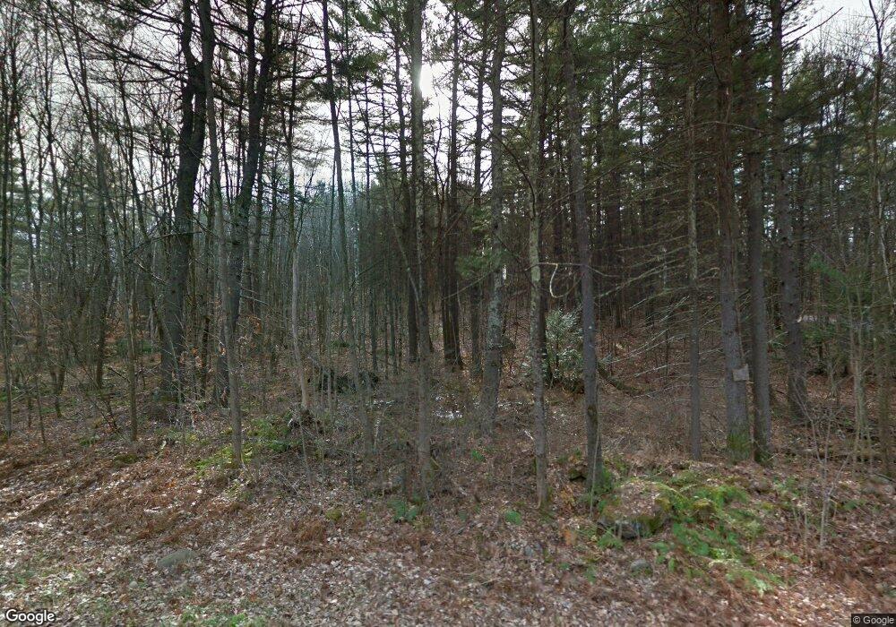
190 Scoby Rd Francestown, NH 03043
Estimated Value: $255,197 - $397,000
1
Bed
1
Bath
423
Sq Ft
$768/Sq Ft
Est. Value
About This Home
This home is located at 190 Scoby Rd, Francestown, NH 03043 and is currently estimated at $325,049, approximately $768 per square foot. 190 Scoby Rd is a home with nearby schools including Francestown Elementary School, Great Brook School, and Conval Regional High School.
Create a Home Valuation Report for This Property
The Home Valuation Report is an in-depth analysis detailing your home's value as well as a comparison with similar homes in the area
Home Values in the Area
Average Home Value in this Area
Tax History Compared to Growth
Tax History
| Year | Tax Paid | Tax Assessment Tax Assessment Total Assessment is a certain percentage of the fair market value that is determined by local assessors to be the total taxable value of land and additions on the property. | Land | Improvement |
|---|---|---|---|---|
| 2024 | $4,063 | $253,000 | $192,200 | $60,800 |
| 2023 | $3,917 | $140,500 | $109,600 | $30,900 |
| 2022 | $3,631 | $140,500 | $109,600 | $30,900 |
| 2021 | $3,445 | $140,500 | $109,600 | $30,900 |
| 2020 | $7,690 | $140,500 | $109,600 | $30,900 |
| 2019 | $5,793 | $140,500 | $109,600 | $30,900 |
| 2018 | $4,206 | $157,300 | $131,000 | $26,300 |
| 2017 | $7,249 | $157,300 | $131,000 | $26,300 |
| 2016 | $4,013 | $157,300 | $131,000 | $26,300 |
| 2015 | $3,962 | $157,300 | $131,000 | $26,300 |
| 2014 | $3,942 | $157,300 | $131,000 | $26,300 |
| 2013 | $3,579 | $157,200 | $131,000 | $26,200 |
Source: Public Records
Map
Nearby Homes
- Lot 2 Journeys End Rd
- Lot 3 Journeys End Rd
- Lot 1-50-1 Colburn Rd
- 133 Hay Hill Rd
- 0 Woodward Hill Rd Unit LOT B 4984898
- 0 Woodward Hill Rd Unit LOT E 4984900
- 3 Old County Rd S
- 252 Clark Hill Rd
- 136 Main St
- 0 Bible Hill Extension Unit 1
- Lot 5 - 77 Poor Farm Rd
- 305 King Hill Rd
- 200 Mountain Rd
- 256 Middle Branch Rd
- 54 Briar Hill Rd
- 1 Old Coach Rd
- 179 Oak Hill Rd
- 16 Meetinghouse Hill Rd
- 1 Cemetery Rd
- 181 Francestown Rd
