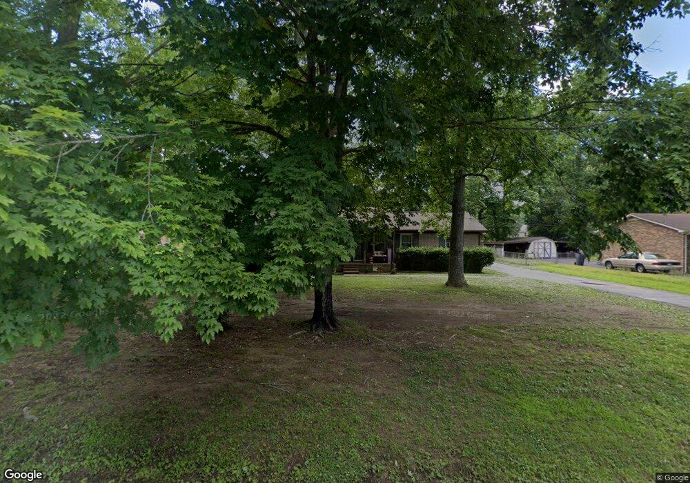
190 Sherwood Dr Manchester, TN 37355
Estimated Value: $239,270 - $296,000
3
Beds
2
Baths
1,224
Sq Ft
$222/Sq Ft
Est. Value
About This Home
This home is located at 190 Sherwood Dr, Manchester, TN 37355 and is currently estimated at $272,318, approximately $222 per square foot. 190 Sherwood Dr is a home located in Coffee County with nearby schools including Westwood Middle School.
Ownership History
Date
Name
Owned For
Owner Type
Purchase Details
Closed on
Feb 20, 2018
Sold by
Mccrary Sue
Bought by
Mccrary Sue and Haley Daniel E
Current Estimated Value
Home Financials for this Owner
Home Financials are based on the most recent Mortgage that was taken out on this home.
Original Mortgage
$124,135
Outstanding Balance
$106,445
Interest Rate
4.5%
Mortgage Type
FHA
Estimated Equity
$165,873
Purchase Details
Closed on
Feb 2, 2018
Sold by
Hobbs Ernest G
Bought by
Mccrary Sue
Home Financials for this Owner
Home Financials are based on the most recent Mortgage that was taken out on this home.
Original Mortgage
$124,135
Outstanding Balance
$106,445
Interest Rate
4.5%
Mortgage Type
FHA
Estimated Equity
$165,873
Purchase Details
Closed on
Jan 1, 1985
Bought by
Bell Flauline First Fed Savings Bk
Create a Home Valuation Report for This Property
The Home Valuation Report is an in-depth analysis detailing your home's value as well as a comparison with similar homes in the area
Home Values in the Area
Average Home Value in this Area
Purchase History
| Date | Buyer | Sale Price | Title Company |
|---|---|---|---|
| Mccrary Sue | -- | Bell & Alexander Title | |
| Mccrary Sue | $132,000 | Bell & Alexander Title | |
| Bell Flauline First Fed Savings Bk | $54,000 | -- |
Source: Public Records
Mortgage History
| Date | Status | Borrower | Loan Amount |
|---|---|---|---|
| Open | Mccrary Sue | $124,135 |
Source: Public Records
Tax History Compared to Growth
Tax History
| Year | Tax Paid | Tax Assessment Tax Assessment Total Assessment is a certain percentage of the fair market value that is determined by local assessors to be the total taxable value of land and additions on the property. | Land | Improvement |
|---|---|---|---|---|
| 2024 | $1,556 | $36,900 | $4,875 | $32,025 |
| 2023 | $1,556 | $36,900 | $0 | $0 |
| 2022 | $1,340 | $36,900 | $4,875 | $32,025 |
| 2021 | $1,283 | $28,025 | $3,750 | $24,275 |
| 2020 | $1,283 | $28,025 | $3,750 | $24,275 |
| 2019 | $1,283 | $28,025 | $3,750 | $24,275 |
| 2018 | $1,283 | $28,025 | $3,750 | $24,275 |
| 2017 | $1,177 | $22,425 | $3,750 | $18,675 |
| 2016 | $1,177 | $22,425 | $3,750 | $18,675 |
| 2015 | $1,176 | $22,425 | $3,750 | $18,675 |
| 2014 | $1,176 | $22,425 | $0 | $0 |
Source: Public Records
Map
Nearby Homes
- 0 Sherwood Dr
- 645 Doak Rd
- 600 Indian Springs Cir
- 564 Indian Springs Cir
- 538 Indian Springs Cir
- 401 Doak Rd
- 108 Belmar Cir
- 31 Spring House Dr
- Lot 76 Philips
- 383 Doak Rd
- Lot 54 Interstate
- 913 Indian Springs Cir
- 874 Doak Rd
- 272 Belmar Cir
- 75 Belmar Rd
- 216 Spring House Dr
- 310 Indian Springs Cir
- 58 Brooklyn Ave
- 31 Brooklyn Ave
- 42 Brooklyn Ave
- 210 Sherwood Dr
- 168 Sherwood Dr
- 90 Briarwood Ln
- 64 Briarwood Ln
- 228 Sherwood Dr
- 148 Sherwood Dr
- 46 Briarwood Ln
- 193 Sherwood Dr
- 179 Sherwood Dr
- 110 Briarwood Ln
- 155 Sherwood Dr
- 112 Sherwood Dr
- 253 Briarwood Dr
- 233 Sherwood Dr
- 227 Briarwood Dr
- 139 Sherwood Dr
- 89 Briarwood Ln
- 47 Briarwood Ln
- 121 Briarwood Ln
- 84 Sherwood Dr