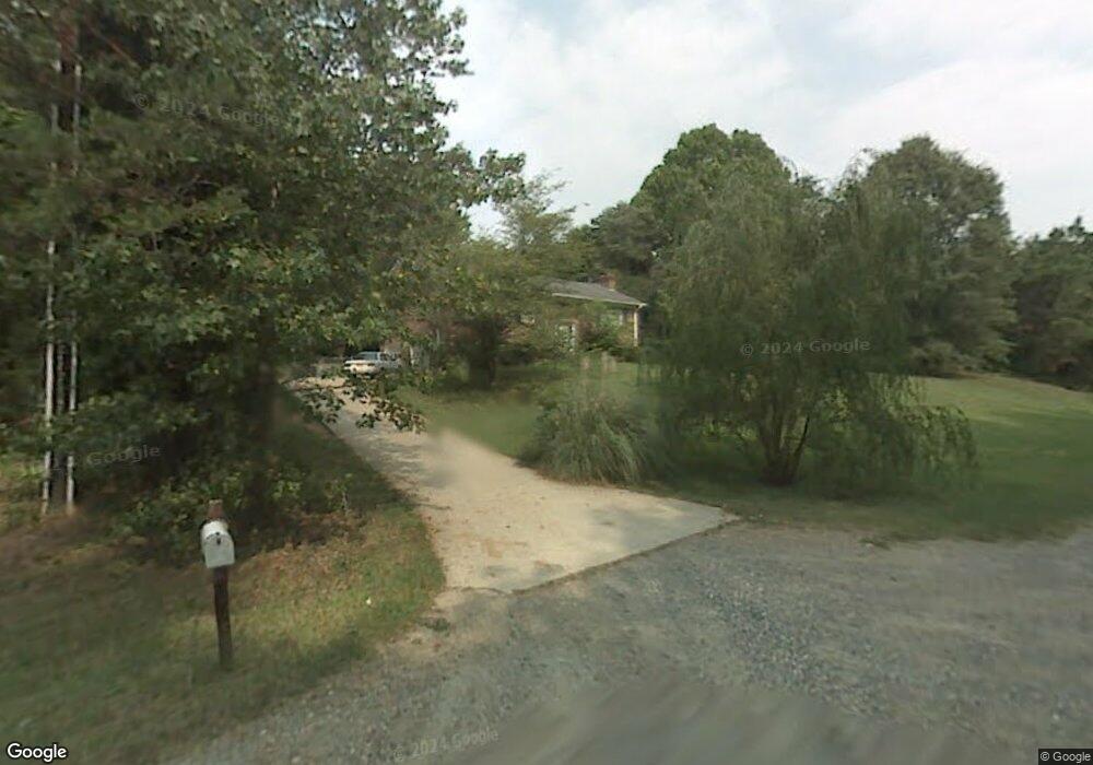
190 Southoak Dr Winston Salem, NC 27107
Estimated Value: $210,000 - $311,000
3
Beds
2
Baths
1,343
Sq Ft
$207/Sq Ft
Est. Value
About This Home
This home is located at 190 Southoak Dr, Winston Salem, NC 27107 and is currently estimated at $277,541, approximately $206 per square foot. 190 Southoak Dr is a home located in Forsyth County with nearby schools including Easton Elementary, Philo-Hill Magnet Academy, and Parkland High.
Ownership History
Date
Name
Owned For
Owner Type
Purchase Details
Closed on
Sep 6, 2019
Sold by
Brown Joe H and Brown Karen
Bought by
Longsdord Thomas Wesley
Current Estimated Value
Home Financials for this Owner
Home Financials are based on the most recent Mortgage that was taken out on this home.
Original Mortgage
$120,000
Outstanding Balance
$79,161
Interest Rate
3.7%
Mortgage Type
New Conventional
Estimated Equity
$198,380
Purchase Details
Closed on
Jan 6, 1989
Bought by
Brown
Create a Home Valuation Report for This Property
The Home Valuation Report is an in-depth analysis detailing your home's value as well as a comparison with similar homes in the area
Home Values in the Area
Average Home Value in this Area
Purchase History
| Date | Buyer | Sale Price | Title Company |
|---|---|---|---|
| Longsdord Thomas Wesley | $150,000 | None Available | |
| Brown | -- | -- |
Source: Public Records
Mortgage History
| Date | Status | Borrower | Loan Amount |
|---|---|---|---|
| Open | Longsdord Thomas Wesley | $120,000 |
Source: Public Records
Tax History Compared to Growth
Tax History
| Year | Tax Paid | Tax Assessment Tax Assessment Total Assessment is a certain percentage of the fair market value that is determined by local assessors to be the total taxable value of land and additions on the property. | Land | Improvement |
|---|---|---|---|---|
| 2025 | $2,806 | $306,200 | $60,600 | $245,600 |
| 2024 | $2,550 | $200,000 | $47,500 | $152,500 |
| 2023 | $2,550 | $190,500 | $47,500 | $143,000 |
| 2022 | $2,503 | $190,500 | $47,500 | $143,000 |
| 2021 | $2,458 | $190,500 | $47,500 | $143,000 |
| 2020 | $2,131 | $154,300 | $34,500 | $119,800 |
| 2019 | $2,146 | $154,300 | $34,500 | $119,800 |
| 2018 | $2,038 | $154,300 | $34,500 | $119,800 |
| 2016 | $2,073 | $157,534 | $39,453 | $118,081 |
| 2015 | $2,041 | $157,534 | $39,453 | $118,081 |
| 2014 | $1,979 | $157,534 | $39,453 | $118,081 |
Source: Public Records
Map
Nearby Homes
- 1049 Rock Knoll Ct Unit 204
- 1018 Cedar Place Ct Unit 238
- 3783 Baden Rd
- 1523 String Dr
- 3751 Thomasville Rd
- TAYLOR Plan at Fiddlers Landing
- BELHAVEN Plan at Fiddlers Landing
- PENWELL Plan at Fiddlers Landing
- BRANDON Plan at Fiddlers Landing
- 3711 Baden Rd
- 1299 Teague Rd
- 3579 Cash Dr
- 3648 Cash Dr
- 970 Winterside Ln
- 3100 Glen Laurel Ln
- 604 Teague Rd
- 4000 Old Lexington Rd
- 1291 Kristy Park Ct
- 4034 Old Lexington Rd
- 2400 Willard Rd
- 136 Southoak Dr
- 110 Southoak Ct
- 120 Southoak Ct
- 132 Southoak Dr
- 130 Southoak Ct
- 135 Southoak Ct
- 128 Southoak Dr
- 140 Southoak Ct
- 117 Southoak Dr
- 145 Southoak Ct
- 124 Southoak Dr
- 113 Southoak Dr
- 150 Southoak Ct
- 155 Southoak Ct
- 120 Southoak Dr
- 109 Southoak Dr
- 116 Southoak Dr
- 165 Southoak Ct
- 0 Southoak Dr
- 105 Southoak Dr