190 Turnipseed Ln Cedar Grove, TN 38321
Estimated Value: $52,075 - $216,000
--
Bed
--
Bath
--
Sq Ft
5
Acres
About This Home
This home is located at 190 Turnipseed Ln, Cedar Grove, TN 38321 and is currently estimated at $111,025. 190 Turnipseed Ln is a home located in Henderson County.
Ownership History
Date
Name
Owned For
Owner Type
Purchase Details
Closed on
Feb 17, 2016
Sold by
Baker Donnie
Bought by
Medina Kristine E
Current Estimated Value
Purchase Details
Closed on
Mar 14, 2014
Sold by
Baker Donnie
Bought by
Baker Kristine
Purchase Details
Closed on
Aug 12, 2011
Sold by
Robertson Tony C
Bought by
Baker Donnie and Baker Kristine
Home Financials for this Owner
Home Financials are based on the most recent Mortgage that was taken out on this home.
Original Mortgage
$8,500
Interest Rate
4.54%
Mortgage Type
Commercial
Purchase Details
Closed on
Jul 8, 2005
Sold by
Ellis Robin R
Bought by
Robertson Tony C
Purchase Details
Closed on
Jun 21, 1990
Bought by
Ellis Robin R
Purchase Details
Closed on
May 31, 1977
Bought by
Ellis Austin
Create a Home Valuation Report for This Property
The Home Valuation Report is an in-depth analysis detailing your home's value as well as a comparison with similar homes in the area
Home Values in the Area
Average Home Value in this Area
Purchase History
| Date | Buyer | Sale Price | Title Company |
|---|---|---|---|
| Medina Kristine E | -- | -- | |
| Baker Kristine | -- | -- | |
| Baker Donnie | $8,500 | -- | |
| Robertson Tony C | $8,000 | -- | |
| Ellis Robin R | $1,500 | -- | |
| Ellis Austin | -- | -- |
Source: Public Records
Mortgage History
| Date | Status | Borrower | Loan Amount |
|---|---|---|---|
| Previous Owner | Baker Donnie | $8,500 |
Source: Public Records
Tax History Compared to Growth
Tax History
| Year | Tax Paid | Tax Assessment Tax Assessment Total Assessment is a certain percentage of the fair market value that is determined by local assessors to be the total taxable value of land and additions on the property. | Land | Improvement |
|---|---|---|---|---|
| 2024 | $86 | $5,425 | $5,025 | $400 |
| 2023 | $86 | $5,425 | $5,025 | $400 |
| 2022 | $104 | $4,425 | $3,300 | $1,125 |
| 2021 | $104 | $4,425 | $3,300 | $1,125 |
| 2020 | $104 | $4,425 | $3,300 | $1,125 |
| 2019 | $104 | $4,425 | $3,300 | $1,125 |
| 2018 | $75 | $3,300 | $3,300 | $0 |
| 2017 | $75 | $3,300 | $3,300 | $0 |
| 2016 | $57 | $2,400 | $2,400 | $0 |
| 2015 | $57 | $2,400 | $2,400 | $0 |
| 2014 | -- | $2,400 | $0 | $0 |
Source: Public Records
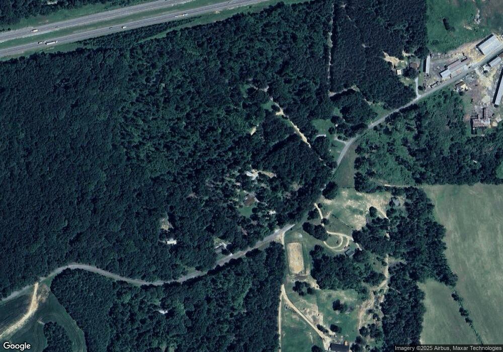
Map
Nearby Homes
- 0 Daws Ln
- 151 Williams Ln
- 378 Obrien Rd
- 000 Mt Gilead
- 00 Royal Fox Point
- 57 Scarlet Ln
- 155 Fire Tower Rd
- 400 Summit Chase Rd
- 878 Palmer Rd
- 413 Law Ln
- 339 Turtle Creek Rd
- 213 Jason Hollow Rd
- 255 Jason Hollow Rd
- Lot 5 Jason Hollow Rd
- 5 Jason Hollow Rd
- 4555 Rue Hamner Rd
- 163 Jason Hollow Rd
- Lot 30 Stan Ln
- 30 Stan Ln
- 115 Baudy James Rd
- 830 Rock Milam Rd
- 690 Rock Milam Rd
- 825 Rock Milam Rd
- 100 Turnipseed Ln
- 936 Rock Milam Rd
- 785 Rock Milam Rd
- 939 Rock Milam Rd
- 560 Rock Milam Rd
- 825 Rock Milam Rd
- 825 Rock Milam Rd
- 481 Rock Milam Rd
- 197 Rock Milam Rd
- 200 Rock Milam Rd
- 630 Daws Ln
- 145 Rock Milam Rd
- 7036 Highway 104 N
- 1700 Rock Milam Rd
- 427 Daws Ln
- 7036 N Hwy 104 Hwy
- 367 Daws Ln