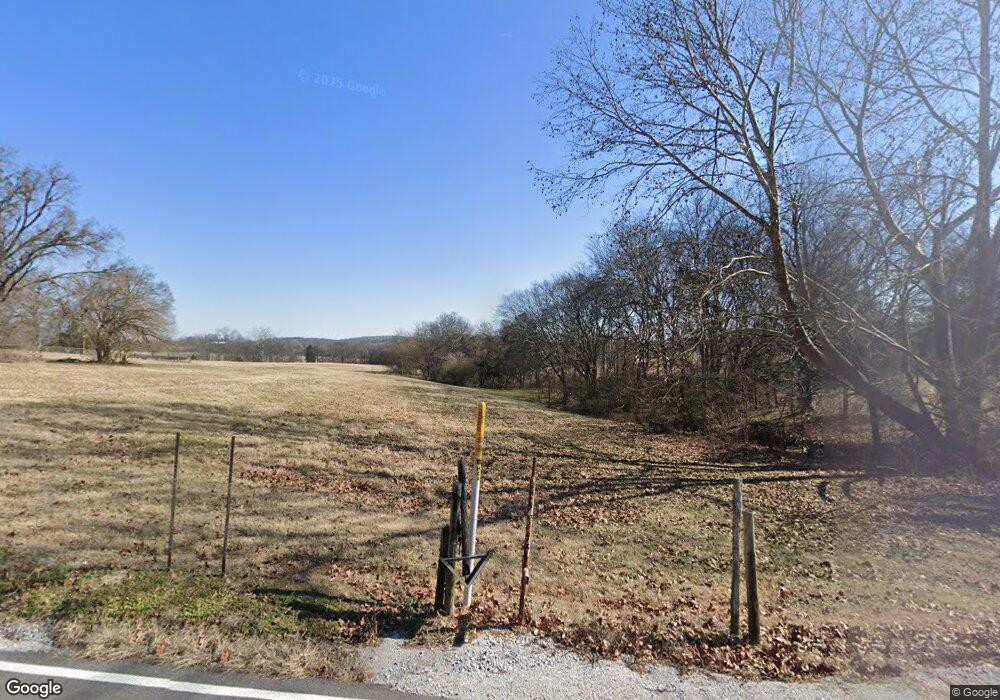
1900 Bass Rd Bethpage, TN 37022
Estimated Value: $395,000 - $409,000
Studio
2
Baths
2,228
Sq Ft
$180/Sq Ft
Est. Value
About This Home
This home is located at 1900 Bass Rd, Bethpage, TN 37022 and is currently estimated at $401,606, approximately $180 per square foot. 1900 Bass Rd is a home located in Trousdale County with nearby schools including Trousdale County Elementary School, Trousdale County High School, and Jim Satterfield Middle School.
Ownership History
Date
Name
Owned For
Owner Type
Purchase Details
Closed on
Aug 29, 2025
Sold by
Debra F Claridy Revocable Trust and Claridy Debra F
Bought by
Thompson Van
Current Estimated Value
Purchase Details
Closed on
Mar 7, 2022
Sold by
Joe Taylor Larry and Bailey Carole
Bought by
Martino Victoria
Purchase Details
Closed on
Dec 9, 2013
Sold by
Claridy Debra F
Bought by
Claridy Debra F
Purchase Details
Closed on
Jun 15, 1973
Bought by
Elmore James C and Elmore Beatrice C
Create a Home Valuation Report for This Property
The Home Valuation Report is an in-depth analysis detailing your home's value as well as a comparison with similar homes in the area
Home Values in the Area
Average Home Value in this Area
Purchase History
| Date | Buyer | Sale Price | Title Company |
|---|---|---|---|
| Thompson Van | $385,000 | Momentum Title | |
| Martino Victoria | $410,500 | Lee & Lee Attorneys At Law Pc | |
| Claridy Debra F | -- | -- | |
| Claridy Debra F | -- | -- | |
| Elmore James C | -- | -- |
Source: Public Records
Tax History Compared to Growth
Tax History
| Year | Tax Paid | Tax Assessment Tax Assessment Total Assessment is a certain percentage of the fair market value that is determined by local assessors to be the total taxable value of land and additions on the property. | Land | Improvement |
|---|---|---|---|---|
| 2025 | $1,641 | $79,700 | $0 | $0 |
| 2024 | $1,641 | $79,700 | $25,600 | $54,100 |
| 2023 | $1,552 | $79,700 | $25,600 | $54,100 |
| 2022 | $1,544 | $79,700 | $25,600 | $54,100 |
| 2021 | $1,512 | $79,700 | $25,600 | $54,100 |
| 2020 | $1,512 | $62,000 | $18,600 | $43,400 |
| 2019 | $1,512 | $62,000 | $18,600 | $43,400 |
| 2018 | $1,399 | $47,750 | $14,725 | $33,025 |
| 2017 | $1,371 | $47,750 | $14,725 | $33,025 |
| 2016 | $1,399 | $47,750 | $14,725 | $33,025 |
| 2015 | $1,490 | $47,750 | $14,725 | $33,025 |
| 2014 | -- | $47,450 | $13,475 | $33,975 |
Source: Public Records
Map
Nearby Homes
- 7 Templow Rd
- 100 Ladybug Ln
- 0 Highway 231 N Unit RTC3098370
- 0 Highway 231 N Unit RTC3072777
- 0 Templow Rd Unit RTC3060361
- 2965 Sulphur College Rd
- 65 Misty Ln
- 1241 Littleton Ranch Rd
- 1 Walnut Grove Rd
- 2 Hog Hollow Rd
- 2 Walnut Grove Rd
- 95 Old 25 Loop
- 4205 Browning Branch Rd
- 1295 Carey Rd
- 1064 Lauderdale Ln
- 531 Governor Hall Rd
- 1061 Scott Rd
- 1071 Scott Rd
- 440 Honeysuckle Lane Rd
- 1141 Littleton Ranch Rd
