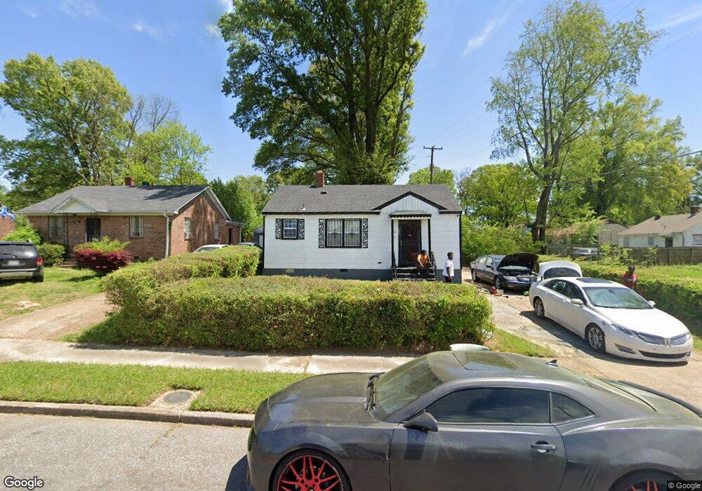
1900 Benning St Memphis, TN 38106
South Memphis NeighborhoodEstimated Value: $64,846 - $92,000
2
Beds
1
Bath
1,216
Sq Ft
$66/Sq Ft
Est. Value
About This Home
This home is located at 1900 Benning St, Memphis, TN 38106 and is currently estimated at $79,962, approximately $65 per square foot. 1900 Benning St is a home located in Shelby County with nearby schools including A. B. Hill Elementary School, Riverview Middle School, and Hamilton High School.
Ownership History
Date
Name
Owned For
Owner Type
Purchase Details
Closed on
Jun 19, 2017
Sold by
County Of Shelby
Bought by
Lee Ladarius
Current Estimated Value
Purchase Details
Closed on
May 8, 1996
Sold by
United Companies Lending Corp
Bought by
Lee Pamela D
Home Financials for this Owner
Home Financials are based on the most recent Mortgage that was taken out on this home.
Original Mortgage
$40,400
Interest Rate
7.93%
Mortgage Type
Seller Take Back
Create a Home Valuation Report for This Property
The Home Valuation Report is an in-depth analysis detailing your home's value as well as a comparison with similar homes in the area
Home Values in the Area
Average Home Value in this Area
Purchase History
| Date | Buyer | Sale Price | Title Company |
|---|---|---|---|
| Lee Ladarius | $5,000 | None Available | |
| Lee Pamela D | $40,000 | Tri State Title & Escrow Inc | |
| Lee Pamela D | $40,000 | Tri State Title & Escrow Inc |
Source: Public Records
Mortgage History
| Date | Status | Borrower | Loan Amount |
|---|---|---|---|
| Previous Owner | Lee Pamela D | $40,400 |
Source: Public Records
Tax History
| Year | Tax Paid | Tax Assessment Tax Assessment Total Assessment is a certain percentage of the fair market value that is determined by local assessors to be the total taxable value of land and additions on the property. | Land | Improvement |
|---|---|---|---|---|
| 2025 | $330 | $14,900 | $2,000 | $12,900 |
| 2024 | $330 | $9,725 | $1,125 | $8,600 |
| 2023 | $592 | $9,725 | $1,125 | $8,600 |
| 2022 | $592 | $9,725 | $1,125 | $8,600 |
| 2021 | $599 | $9,725 | $1,125 | $8,600 |
| 2020 | $594 | $8,200 | $1,125 | $7,075 |
| 2019 | $594 | $8,200 | $1,125 | $7,075 |
| 2018 | $594 | $8,200 | $1,125 | $7,075 |
| 2017 | $337 | $0 | $0 | $0 |
| 2016 | $375 | $8,575 | $0 | $0 |
| 2014 | $375 | $8,575 | $0 | $0 |
Source: Public Records
Map
Nearby Homes
- 361 Jacklyn Ave
- 1872 Benning St
- 1848 Wynton St
- 1855 Benning St
- 1832 S Wellington St
- 1759 Shadowlawn Blvd
- 1869 S Lauderdale St
- 190 E Fernwood Ave
- 171 E Frank Ave
- 123 E Fernwood Ave
- 525 E Dison Ave
- 1660 S Wellington St
- 1661 Humber St
- 1401 Latham St
- 125 E Mckellar Ave
- 1656 Barton St
- 1428 S Orleans St
- 641 E Mckellar Ave
- 1593 Humber St
- 1627 Barton St
- 1894 Benning St
- 372 Jacklyn Ave
- 378 Jacklyn Ave
- 1890 Benning St
- 382 Jacklyn Ave
- 1897 Shadowlawn Blvd
- 1891 Shadowlawn Blvd
- 1884 Benning St
- 1897 Benning St
- 1885 Shadowlawn Blvd
- 1891 Benning St
- 390 Jacklyn Ave
- 1878 Benning St
- 1887 Benning St
- 1879 Shadowlawn Blvd
- 1883 Benning St
- 1917 Benning St
- 1877 Benning St
- 1873 Shadowlawn Blvd
- 373 Jacklyn Ave
Your Personal Tour Guide
Ask me questions while you tour the home.