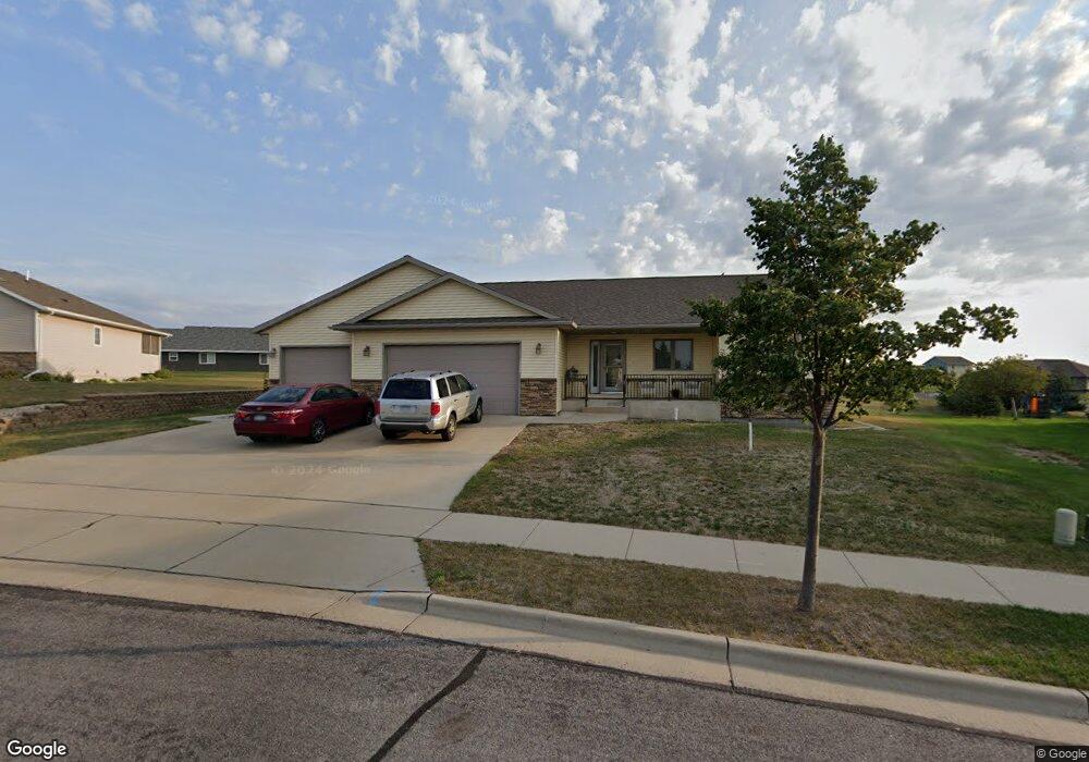
1900 Henle Dr New Ulm, MN 56073
Estimated Value: $368,000 - $450,000
3
Beds
1
Bath
1,674
Sq Ft
$239/Sq Ft
Est. Value
About This Home
This home is located at 1900 Henle Dr, New Ulm, MN 56073 and is currently estimated at $399,626, approximately $238 per square foot. 1900 Henle Dr is a home with nearby schools including Washington Elementary School, Jefferson Elementary School, and New Ulm High School.
Ownership History
Date
Name
Owned For
Owner Type
Purchase Details
Closed on
Oct 31, 2017
Sold by
Schugel Melvin J
Bought by
Cole Gayle A and Cole Michael M
Current Estimated Value
Home Financials for this Owner
Home Financials are based on the most recent Mortgage that was taken out on this home.
Original Mortgage
$266,514
Outstanding Balance
$223,208
Interest Rate
3.83%
Mortgage Type
VA
Estimated Equity
$176,418
Create a Home Valuation Report for This Property
The Home Valuation Report is an in-depth analysis detailing your home's value as well as a comparison with similar homes in the area
Home Values in the Area
Average Home Value in this Area
Purchase History
| Date | Buyer | Sale Price | Title Company |
|---|---|---|---|
| Cole Gayle A | $232,000 | Title Smart Inc |
Source: Public Records
Mortgage History
| Date | Status | Borrower | Loan Amount |
|---|---|---|---|
| Open | Cole Gayle A | $266,514 |
Source: Public Records
Tax History Compared to Growth
Tax History
| Year | Tax Paid | Tax Assessment Tax Assessment Total Assessment is a certain percentage of the fair market value that is determined by local assessors to be the total taxable value of land and additions on the property. | Land | Improvement |
|---|---|---|---|---|
| 2024 | $4,962 | $379,400 | $81,700 | $297,700 |
| 2023 | $4,962 | $383,200 | $81,700 | $301,500 |
| 2022 | $4,922 | $341,300 | $71,000 | $270,300 |
| 2021 | $4,785 | $300,200 | $71,000 | $229,200 |
| 2020 | $4,408 | $295,800 | $71,000 | $224,800 |
| 2019 | $4,224 | $273,200 | $62,400 | $210,800 |
| 2018 | $6,338 | $266,700 | $62,400 | $204,300 |
| 2017 | $3,910 | $254,300 | $62,400 | $191,900 |
| 2016 | $5,666 | $238,194 | $0 | $0 |
| 2015 | -- | $0 | $0 | $0 |
| 2014 | -- | $0 | $0 | $0 |
| 2013 | -- | $0 | $0 | $0 |
Source: Public Records
Map
Nearby Homes
- 1822 Ryan Rd
- 1346 Birchwood Dr
- 1342 Birchwood Dr
- 1526 N State St
- 915 N Payne St
- 2303 Lake Ave
- 2323 Lake Ave
- 2216 Lake Ave
- 2214 Lake Ave
- 0 Tbd N 6th St Unit 7037960
- 0 Tbd N 6th St Unit 7037959
- 1430 N 6th St
- 642 Haeberle Ave
- 0 Haeberle Ave Unit 7037255
- 0 Haeberle Ave Unit 7037259
- 0 Haeberle Ave Unit 7037249
- 0 Haeberle Ave Unit 7037263
- 0 Haeberle Ave Unit 7037252
- 0 Haeberle Ave Unit 7037250
- 0 Haeberle Ave Unit 7037256
- 1904 Henle Dr
- 1828 Henle Dr
- 1511 Airport Rd
- 1519 Airport Rd
- 1908 Henle Dr
- 1905 Henle Dr
- 1827 Henle Dr
- 1512 1512 Maplewood Dr
- 1500 Maplewood Dr
- 1909 Henle Dr
- 1912 Henle Dr
- 1604 Maplewood Dr
- 1911 Henle Dr
- 1909 Alison Ave
- 1505 1505 Airport Rd
- 1608 Maplewood Dr
- 1820 Alison Ave
- 1826 Alison Ave
- 1915 Henle Dr
- 1612 Maplewood Dr