1900 Killarny Dr Westminster, MD 21157
Estimated Value: $954,000 - $1,166,000
Studio
5
Baths
3,808
Sq Ft
$278/Sq Ft
Est. Value
About This Home
This home is located at 1900 Killarny Dr, Westminster, MD 21157 and is currently estimated at $1,056,965, approximately $277 per square foot. 1900 Killarny Dr is a home located in Carroll County with nearby schools including Cranberry Station Elementary School, Westminster East Middle School, and Winters Mill High School.
Ownership History
Date
Name
Owned For
Owner Type
Purchase Details
Closed on
Jun 11, 2021
Sold by
Huggins John C and Huggins Julia M
Bought by
Huggins John C and Huggins Julia M
Current Estimated Value
Purchase Details
Closed on
Dec 13, 2004
Sold by
Robin Ford Building
Bought by
Huggins Julia M and Huggins John C
Purchase Details
Closed on
Aug 18, 2004
Sold by
Trident Acres Llc
Bought by
Robin Ford Building
Create a Home Valuation Report for This Property
The Home Valuation Report is an in-depth analysis detailing your home's value as well as a comparison with similar homes in the area
Home Values in the Area
Average Home Value in this Area
Purchase History
| Date | Buyer | Sale Price | Title Company |
|---|---|---|---|
| Huggins John C | -- | None Available | |
| Huggins Julia M | $239,900 | -- | |
| Robin Ford Building | $200,000 | -- | |
| Robin Ford Building | $200,000 | -- |
Source: Public Records
Tax History
| Year | Tax Paid | Tax Assessment Tax Assessment Total Assessment is a certain percentage of the fair market value that is determined by local assessors to be the total taxable value of land and additions on the property. | Land | Improvement |
|---|---|---|---|---|
| 2025 | $8,964 | $807,100 | $210,000 | $597,100 |
| 2024 | $8,538 | $766,633 | $0 | $0 |
| 2023 | $8,129 | $726,167 | $0 | $0 |
| 2022 | $7,739 | $685,700 | $210,000 | $475,700 |
| 2021 | $15,655 | $682,067 | $0 | $0 |
| 2020 | $7,726 | $678,433 | $0 | $0 |
| 2019 | $6,869 | $674,800 | $210,000 | $464,800 |
| 2018 | $7,373 | $660,533 | $0 | $0 |
| 2017 | $7,137 | $646,267 | $0 | $0 |
| 2016 | -- | $632,000 | $0 | $0 |
| 2015 | -- | $625,033 | $0 | $0 |
| 2014 | -- | $618,067 | $0 | $0 |
Source: Public Records
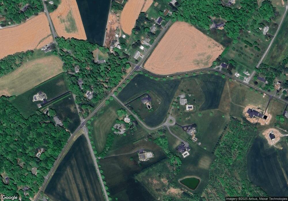
Map
Nearby Homes
- 496 Leisters Church Rd
- 2307 Coon Club Rd
- 1460 Allen Way
- Lot 97 Tracy Ct
- 112 Dutrow Rd
- 0 Hampstead Mexico Rd Unit MDCR2026312
- 308 Winsome Dr
- 206 Opal Ave
- 0 Martin Dr
- 1217 Random Ridge Rd
- 334 N Tannery Rd
- 35 Houck Rd
- 1302 Naugahyde Rd
- 932 Old Manchester Rd
- 1281 Guadelupe Dr
- 2324 Carrollton Rd
- 300 Discovery Dr
- Parcel 839- Old Manchester Rd
- Parcel 840- Old Manchester Rd
- Parcel 212- Old Manchester Rd
- 0 Coon Club Rd Unit CR9726592
- LOT 1 Coon Club Rd
- 1906 Killarny Dr
- 500 N Gorsuch Rd
- 440 N Gorsuch Rd
- 1907 Killarney Dr
- 1907 Killarney Dr
- 1823 Coon Club Rd
- 502 N Gorsuch Rd
- 1828 Coon Club Rd
- 1905 Killarney Dr
- 507 Leisters Church Rd
- 504 N Gorsuch Rd
- 506 N Gorsuch Rd
- 515 Leisters Church Rd
- 508 N Gorsuch Rd
- 2010 Coon Club Rd
- 510 N Gorsuch Rd
- 2002 Coon Club Rd
Your Personal Tour Guide
Ask me questions while you tour the home.