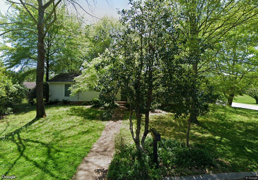
1900 Redbud Ct Franklin, TN 37064
West Franklin NeighborhoodEstimated Value: $445,843 - $526,000
--
Bed
2
Baths
1,401
Sq Ft
$351/Sq Ft
Est. Value
About This Home
This home is located at 1900 Redbud Ct, Franklin, TN 37064 and is currently estimated at $491,211, approximately $350 per square foot. 1900 Redbud Ct is a home located in Williamson County with nearby schools including Poplar Grove K-4, Poplar Grove 5-8, and Centennial High School.
Ownership History
Date
Name
Owned For
Owner Type
Purchase Details
Closed on
Jan 16, 2018
Sold by
Hickerson Lance G and Hickerson Leah R
Bought by
Boyd David and Boyd Linda
Current Estimated Value
Purchase Details
Closed on
Jul 16, 2002
Sold by
Waldrop J Michael and Waldrop Rebecca W
Bought by
Hickerson Lance G and Hickerson Leah R
Home Financials for this Owner
Home Financials are based on the most recent Mortgage that was taken out on this home.
Original Mortgage
$130,935
Interest Rate
6.67%
Mortgage Type
FHA
Purchase Details
Closed on
Dec 30, 1993
Sold by
Bowen Michael Leroy
Bought by
Waldrop J Michael
Create a Home Valuation Report for This Property
The Home Valuation Report is an in-depth analysis detailing your home's value as well as a comparison with similar homes in the area
Home Values in the Area
Average Home Value in this Area
Purchase History
| Date | Buyer | Sale Price | Title Company |
|---|---|---|---|
| Boyd David | $267,500 | Heritage Title & Escrow Co I | |
| Hickerson Lance G | $133,000 | -- | |
| Waldrop J Michael | $88,000 | -- |
Source: Public Records
Mortgage History
| Date | Status | Borrower | Loan Amount |
|---|---|---|---|
| Previous Owner | Hickerson Lance G | $130,935 |
Source: Public Records
Tax History Compared to Growth
Tax History
| Year | Tax Paid | Tax Assessment Tax Assessment Total Assessment is a certain percentage of the fair market value that is determined by local assessors to be the total taxable value of land and additions on the property. | Land | Improvement |
|---|---|---|---|---|
| 2025 | $2,164 | $121,525 | $55,000 | $66,525 |
| 2024 | $2,164 | $76,475 | $26,250 | $50,225 |
| 2023 | $2,080 | $76,475 | $26,250 | $50,225 |
| 2022 | $2,080 | $76,475 | $26,250 | $50,225 |
| 2021 | $2,080 | $76,475 | $26,250 | $50,225 |
| 2020 | $1,540 | $47,725 | $13,750 | $33,975 |
| 2019 | $1,540 | $47,725 | $13,750 | $33,975 |
| 2018 | $1,507 | $47,725 | $13,750 | $33,975 |
| 2017 | $1,483 | $47,725 | $13,750 | $33,975 |
| 2016 | $1,478 | $47,725 | $13,750 | $33,975 |
| 2015 | -- | $43,500 | $13,750 | $29,750 |
| 2014 | -- | $43,500 | $13,750 | $29,750 |
Source: Public Records
Map
Nearby Homes
- 216 Devrow Ct
- 1302 Mallard Dr
- 1305 Mallard Dr
- 1315 Robin Hill Rd
- 2001 Barclay Ln
- 2042 Township Dr
- 7224 Murrel Dr
- 1027 Harmony Hills Dr
- 9031 Headwaters Dr
- 7148 Bonterra Dr
- 5611 Carney Ln
- 1022 Conar St
- 2054 Township Dr
- 2008 Eliot Rd
- 3008 Eliot Rd
- 2009 Landry Place
- 308 Fanchers Ct
- 309 Fanchers Ct
- 522 Dabney Dr
- 3126 Annfield Way
- 1902 Redbud Ct
- 2101 Quail Ct
- 1901 Redbud Ct
- 2103 Quail Ct
- 1904 Redbud Ct
- 1804 Redwing Ct
- 1903 Redbud Ct
- 2105 Quail Ct
- 1905 Redbud Ct
- 1309 Twin Oaks Dr
- 1802 Redwing Ct
- 1200 Mallard Dr
- 2100 Quail Ct
- 1805 Redwing Ct
- 2107 Quail Ct
- 1908 Redbud Ct
- 2102 Quail Ct
- 2104 Quail Ct
- 1800 Redwing Ct
- 1202 Mallard Dr