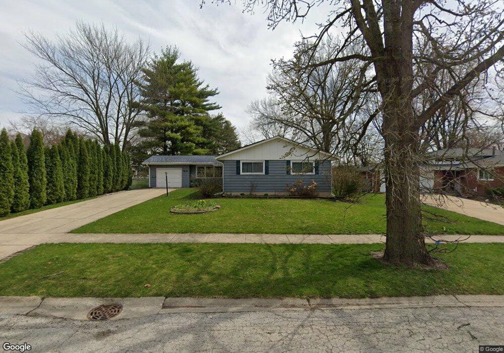
1900 Robert St Aurora, IL 60506
Edgelawn Randall NeighborhoodEstimated Value: $300,585 - $371,000
4
Beds
2
Baths
1,456
Sq Ft
$229/Sq Ft
Est. Value
About This Home
This home is located at 1900 Robert St, Aurora, IL 60506 and is currently estimated at $333,396, approximately $228 per square foot. 1900 Robert St is a home located in Kane County with nearby schools including Hall Elementary School, Jefferson Middle School, and West Aurora High School.
Ownership History
Date
Name
Owned For
Owner Type
Purchase Details
Closed on
Nov 23, 2009
Sold by
Graham Karen
Bought by
Mata Samuel and Medrano Erica
Current Estimated Value
Home Financials for this Owner
Home Financials are based on the most recent Mortgage that was taken out on this home.
Original Mortgage
$152,192
Outstanding Balance
$99,933
Interest Rate
5.11%
Mortgage Type
FHA
Estimated Equity
$233,463
Purchase Details
Closed on
Jul 25, 2006
Sold by
Kamrath Henry H
Bought by
Kamrath Henry H
Create a Home Valuation Report for This Property
The Home Valuation Report is an in-depth analysis detailing your home's value as well as a comparison with similar homes in the area
Home Values in the Area
Average Home Value in this Area
Purchase History
| Date | Buyer | Sale Price | Title Company |
|---|---|---|---|
| Mata Samuel | $155,000 | Pntn | |
| Kamrath Henry H | -- | None Available |
Source: Public Records
Mortgage History
| Date | Status | Borrower | Loan Amount |
|---|---|---|---|
| Open | Mata Samuel | $152,192 |
Source: Public Records
Tax History
| Year | Tax Paid | Tax Assessment Tax Assessment Total Assessment is a certain percentage of the fair market value that is determined by local assessors to be the total taxable value of land and additions on the property. | Land | Improvement |
|---|---|---|---|---|
| 2024 | $6,292 | $87,462 | $15,912 | $71,550 |
| 2023 | $6,008 | $78,147 | $14,217 | $63,930 |
| 2022 | $5,781 | $71,302 | $12,972 | $58,330 |
| 2021 | $5,480 | $65,976 | $12,077 | $53,899 |
| 2020 | $5,175 | $61,282 | $11,218 | $50,064 |
| 2019 | $5,214 | $59,319 | $10,394 | $48,925 |
| 2018 | $4,774 | $53,817 | $9,614 | $44,203 |
| 2017 | $5,184 | $56,372 | $8,858 | $47,514 |
| 2016 | $4,502 | $48,378 | $7,593 | $40,785 |
| 2015 | -- | $40,998 | $6,529 | $34,469 |
| 2014 | -- | $37,063 | $6,279 | $30,784 |
| 2013 | -- | $36,536 | $6,190 | $30,346 |
Source: Public Records
Map
Nearby Homes
- 1930 Richard St Unit 1
- 1086 Cascade Dr Unit 1
- 980 Sapphire Ln
- 968 Sapphire Ln
- 960 Sapphire Ln
- 972 Sapphire Ln
- 988 Sapphire Ln
- 976 Sapphire Ln
- 984 Sapphire Ln
- 991 Sapphire Ln
- 959 Sapphire Ln
- 975 Sapphire Ln
- 963 Sapphire Ln
- 987 Sapphire Ln
- 2140 Sandburg Dr
- 1071 Almond Dr
- 1615 Heather Dr
- 1295 Foxcroft Dr
- 1480 Colorado Ave
- 1322 Croton Ct Unit A
- 1890 Robert St
- 1916 Robert St
- 1926 Robert St
- 1876 Robert Ct Unit 1
- 1899 Robert St
- 1917 Robert St
- 1889 Robert St
- 1874 Robert Ct
- 1881 Robert St
- 1936 Robert St
- 1929 Robert St
- 1871 Robert St
- 1941 Robert St Unit 1
- 1872 Robert Ct
- 1920 Richard St
- 1946 Robert St
- 1910 Richard St
- 1864 Robert Ct Unit 1
- 1900 Richard St
- 960 Cypress Dr
Your Personal Tour Guide
Ask me questions while you tour the home.