1900 Robert St Benson, MN 56215
Estimated Value: $152,000 - $212,000
--
Bed
--
Bath
--
Sq Ft
7.71
Acres
About This Home
This home is located at 1900 Robert St, Benson, MN 56215 and is currently estimated at $178,276. 1900 Robert St is a home with nearby schools including Northside Elementary School and Benson Secondary School.
Create a Home Valuation Report for This Property
The Home Valuation Report is an in-depth analysis detailing your home's value as well as a comparison with similar homes in the area
Home Values in the Area
Average Home Value in this Area
Tax History Compared to Growth
Tax History
| Year | Tax Paid | Tax Assessment Tax Assessment Total Assessment is a certain percentage of the fair market value that is determined by local assessors to be the total taxable value of land and additions on the property. | Land | Improvement |
|---|---|---|---|---|
| 2025 | $2,220 | $136,600 | $136,600 | $0 |
| 2024 | $2,220 | $136,600 | $136,600 | $0 |
| 2023 | $2,428 | $136,600 | $136,600 | $0 |
| 2022 | $2,658 | $136,600 | $136,600 | $0 |
| 2021 | $2,522 | $136,600 | $136,600 | $0 |
| 2020 | $2,576 | $136,600 | $136,600 | $0 |
| 2019 | $2,478 | $136,600 | $136,600 | $0 |
| 2017 | $2,158 | $0 | $0 | $0 |
| 2016 | $1,924 | $0 | $0 | $0 |
| 2015 | $1,874 | $0 | $0 | $0 |
| 2014 | -- | $0 | $0 | $0 |
Source: Public Records
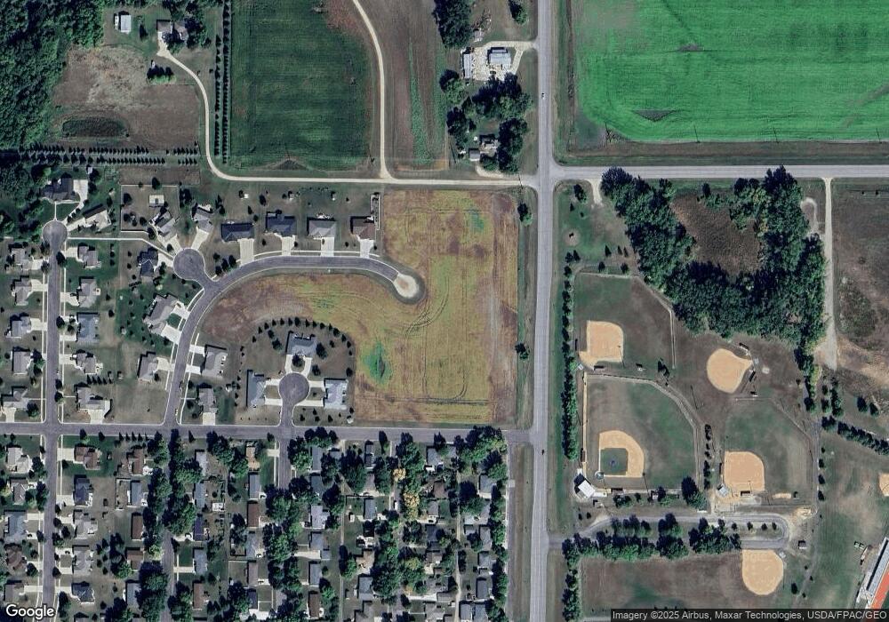
Map
Nearby Homes
- 1910 Robert St
- 1905 Robert St
- 1920 Robert St
- 1915 Robert St
- 1930 Robert St
- 1925 Robert St
- 1920 Twin Cir
- 120 Highway 29 NW
- 202 Highway 29 NW
- 1910 Twin Cir
- 1935 Robert St
- 1940 Robert St
- 1900 Twin Cir
- 504 S 20th St
- 2020 Robert St
- 1915 Twin Cir
- 2065 Prairie View Cir
- 515 18th St N
- 516 18th St N
- 2010 Robert St