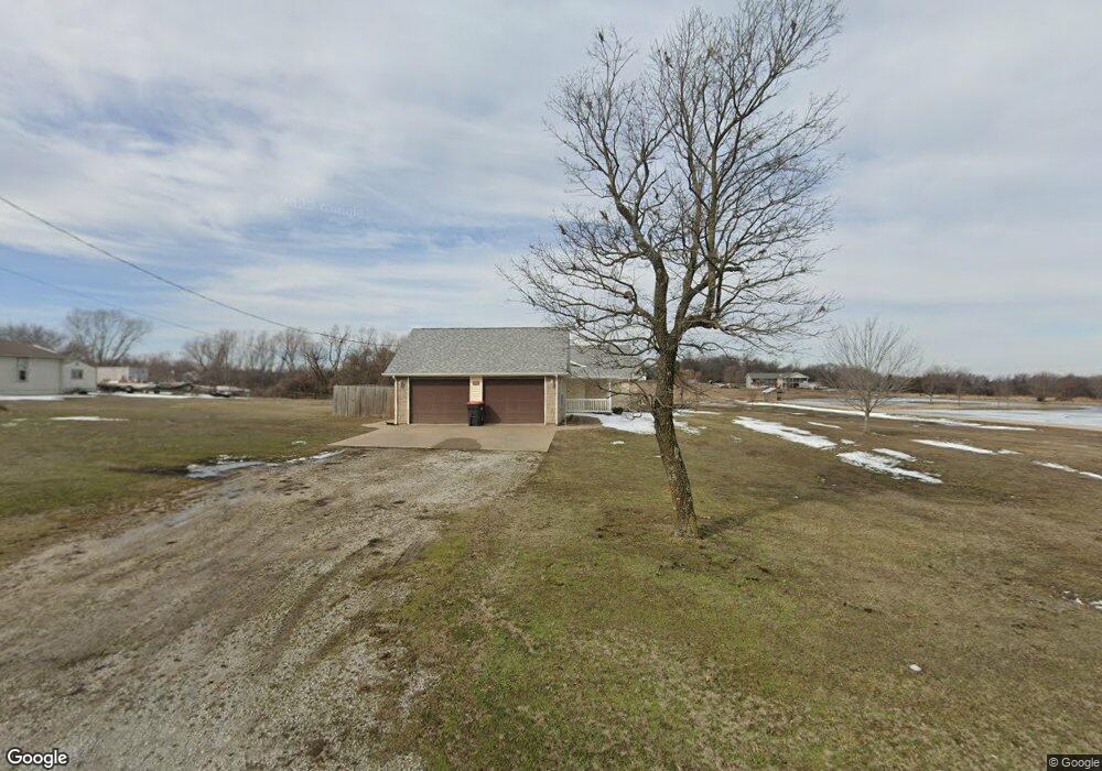
1900 S Black Cat Rd Joplin, MO 64801
Estimated Value: $233,000 - $287,386
3
Beds
3
Baths
1,930
Sq Ft
$140/Sq Ft
Est. Value
About This Home
This home is located at 1900 S Black Cat Rd, Joplin, MO 64801 and is currently estimated at $269,347, approximately $139 per square foot. 1900 S Black Cat Rd is a home located in Jasper County with nearby schools including Carl Junction Primary School (K-1), Carl Junction Intermediate School, and Carl Junction Primary School (2-3).
Ownership History
Date
Name
Owned For
Owner Type
Purchase Details
Closed on
Sep 28, 2012
Sold by
Arwood Ron and Arwood Jackie L
Bought by
Roland Patricia Renee
Current Estimated Value
Home Financials for this Owner
Home Financials are based on the most recent Mortgage that was taken out on this home.
Original Mortgage
$80,000
Outstanding Balance
$55,787
Interest Rate
3.66%
Mortgage Type
New Conventional
Estimated Equity
$213,560
Purchase Details
Closed on
Aug 29, 2008
Sold by
Ray Albert
Bought by
Arwood Ron and Arwood Jackie L
Home Financials for this Owner
Home Financials are based on the most recent Mortgage that was taken out on this home.
Original Mortgage
$90,000
Interest Rate
6.66%
Mortgage Type
Unknown
Create a Home Valuation Report for This Property
The Home Valuation Report is an in-depth analysis detailing your home's value as well as a comparison with similar homes in the area
Home Values in the Area
Average Home Value in this Area
Purchase History
| Date | Buyer | Sale Price | Title Company |
|---|---|---|---|
| Roland Patricia Renee | -- | None Available | |
| Arwood Ron | -- | Fatco |
Source: Public Records
Mortgage History
| Date | Status | Borrower | Loan Amount |
|---|---|---|---|
| Open | Roland Patricia Renee | $80,000 | |
| Previous Owner | Arwood Ron | $90,000 |
Source: Public Records
Tax History Compared to Growth
Tax History
| Year | Tax Paid | Tax Assessment Tax Assessment Total Assessment is a certain percentage of the fair market value that is determined by local assessors to be the total taxable value of land and additions on the property. | Land | Improvement |
|---|---|---|---|---|
| 2024 | $1,560 | $31,250 | $4,010 | $27,240 |
| 2023 | $1,560 | $31,250 | $4,010 | $27,240 |
| 2022 | $1,617 | $32,190 | $4,010 | $28,180 |
| 2021 | $1,608 | $32,190 | $4,010 | $28,180 |
| 2020 | $1,507 | $29,680 | $4,010 | $25,670 |
| 2019 | $1,429 | $29,680 | $4,010 | $25,670 |
| 2018 | $1,449 | $30,180 | $0 | $0 |
| 2017 | $1,453 | $30,180 | $0 | $0 |
| 2016 | $1,497 | $31,380 | $0 | $0 |
| 2015 | $1,464 | $31,380 | $0 | $0 |
| 2014 | $1,464 | $31,380 | $0 | $0 |
Source: Public Records
Map
Nearby Homes
- 1958 S Black Cat Rd
- 4308 Par Ln
- 4402 Par Ln
- 1366 S Twin Oaks Ln
- TBD S Black Cat Rd
- 2304 Iron Gates Rd
- 000 Golf Links Rd Unit Lot E
- TBD-E Golf Links Rd Unit E
- 3224 W Junge Blvd
- 1817 S Cleveland Terrace
- 4.43 acres NW 27th & Iron Gates Rd
- 3019 W 17th St
- 4709 W 28th Place
- 4431 W 29th St
- 2930 Heartland Ave
- 2520 S Cleveland Ave
- 3007 W 15th St
- .21+/- Mina Ave
- 3415 Sunset Dr
- 3017 Jessica St
- 1920 S Black Cat Rd
- 1936 S Black Cat Rd
- 1929 S Black Cat Rd Unit A&B
- 1929 S Black Cat Rd
- 1929 S Black Cat Rd
- 1923/1929 S Black Cat Rd
- 1923 S Black Cat Rd
- 1958 S Black Cat Rd Unit 1
- 2005 Twin Hills Dr
- 2001 Twin Hills Dr
- 2032 Country
- TBD W 20th St
- 1722 S Black Cat Rd
- 1953 County Lane 282
- 2004 Twin Hills Dr
- 2030 S Country Club Dr
- 1834 S Black Cat Rd
- 2025 Twin Hills Dr
- 2020 Twin Hills Dr