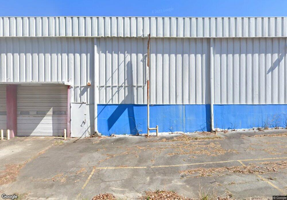
1900 Shurling Dr Macon, GA 31211
Estimated Value: $449,748
--
Bed
--
Bath
20,000
Sq Ft
$22/Sq Ft
Est. Value
About This Home
This home is located at 1900 Shurling Dr, Macon, GA 31211 and is currently priced at $449,748, approximately $22 per square foot. 1900 Shurling Dr is a home located in Bibb County with nearby schools including Martin Luther King Jr. Elementary School, Appling Middle School, and Northeast High School.
Ownership History
Date
Name
Owned For
Owner Type
Purchase Details
Closed on
Aug 4, 2017
Sold by
Martin Daylon
Bought by
Oliver Compton
Current Estimated Value
Home Financials for this Owner
Home Financials are based on the most recent Mortgage that was taken out on this home.
Original Mortgage
$202,500
Outstanding Balance
$137,420
Interest Rate
3.9%
Mortgage Type
Commercial
Purchase Details
Closed on
May 23, 2014
Sold by
Hartfield Haskell L
Bought by
Martin Daylon
Purchase Details
Closed on
Sep 11, 1978
Sold by
White Money Orders Inc
Bought by
Hartfield Haskell L
Create a Home Valuation Report for This Property
The Home Valuation Report is an in-depth analysis detailing your home's value as well as a comparison with similar homes in the area
Home Values in the Area
Average Home Value in this Area
Purchase History
| Date | Buyer | Sale Price | Title Company |
|---|---|---|---|
| Oliver Compton | $225,000 | None Available | |
| Martin Daylon | $138,500 | None Available | |
| Hartfield Haskell L | $150,000 | -- |
Source: Public Records
Mortgage History
| Date | Status | Borrower | Loan Amount |
|---|---|---|---|
| Open | Oliver Compton | $202,500 |
Source: Public Records
Tax History Compared to Growth
Tax History
| Year | Tax Paid | Tax Assessment Tax Assessment Total Assessment is a certain percentage of the fair market value that is determined by local assessors to be the total taxable value of land and additions on the property. | Land | Improvement |
|---|---|---|---|---|
| 2025 | $2,600 | $105,783 | $39,634 | $66,149 |
| 2024 | $2,687 | $105,783 | $39,634 | $66,149 |
| 2023 | $3,133 | $105,783 | $39,634 | $66,149 |
| 2022 | $1,891 | $54,610 | $39,634 | $14,976 |
| 2021 | $2,075 | $54,610 | $39,634 | $14,976 |
| 2020 | $2,120 | $54,610 | $39,634 | $14,976 |
| 2019 | $2,138 | $54,610 | $39,634 | $14,976 |
Source: Public Records
Map
Nearby Homes
- 2371 Kensington Rd
- 2458 Tredway Dr
- 2761 Walnut Creek Rd
- 2630 Pauladale Dr
- 2146 Melton Ave
- 2229 New Clinton Rd
- 2557 Hyde Park Rd
- 2130 New Clinton Rd
- 837 Artic Cir
- 2066 Melton Ave
- 1840 Kinder Kare Dr
- 1818 Kinder Kare Dr
- 875 Artic Cir
- 875 Artic Place
- 1008 Sunnydale Dr
- 2792 Skyline Dr
- 1030 Forsyth Ave
- 909 Johnson St
- 2029 Kitchens Rd
- 4436 Jeffersonville Rd
- 1922 Knightsbridge Rd
- 1890 Shurling Dr
- 0 Shurling Dr Unit 8473178
- 0 Shurling Dr Unit 8435387
- 0 Shurling Dr Unit 8254901
- 0 Shurling Dr
- 2620 Shurling Dr
- 1930 Knightsbridge Rd
- 1938 Knightsbridge Rd
- 1328 Pine Hill Dr
- 1946 Knightsbridge Rd
- 1931 Knightsbridge Rd
- 2360 Tredway Dr
- 1941 Knightsbridge Rd
- 1954 Knightsbridge Rd
- 1949 Knightsbridge Rd
- 1938 Bayswater Rd
- 1911 Pine Hill Dr
- 1957 Knightsbridge Rd
- 1946 Bayswater Rd