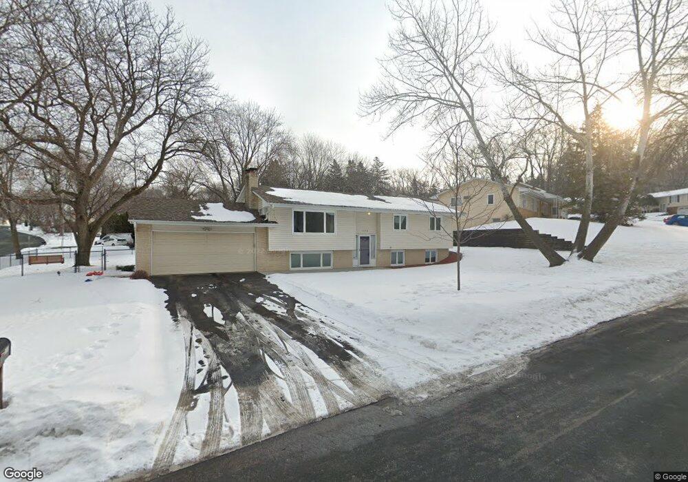
1900 Sioux Ct Burnsville, MN 55337
Estimated Value: $370,000 - $398,000
4
Beds
2
Baths
1,143
Sq Ft
$334/Sq Ft
Est. Value
About This Home
This home is located at 1900 Sioux Ct, Burnsville, MN 55337 and is currently estimated at $382,280, approximately $334 per square foot. 1900 Sioux Ct is a home located in Dakota County with nearby schools including Burnsville High School, Gateway STEM Academy, and Sunrise International Montessori School.
Ownership History
Date
Name
Owned For
Owner Type
Purchase Details
Closed on
Sep 28, 2007
Sold by
Doucet Steven G
Bought by
Daum Jason D and Daum Rebecca A
Current Estimated Value
Purchase Details
Closed on
Aug 29, 1996
Sold by
Wolney Peter and Wolney Monica Jean
Bought by
Doucet Steven G and Doucet Jacqueline P
Purchase Details
Closed on
Jul 1, 1996
Sold by
Luehrs Richard A
Bought by
Wolney Peter
Create a Home Valuation Report for This Property
The Home Valuation Report is an in-depth analysis detailing your home's value as well as a comparison with similar homes in the area
Home Values in the Area
Average Home Value in this Area
Purchase History
| Date | Buyer | Sale Price | Title Company |
|---|---|---|---|
| Daum Jason D | $229,000 | -- | |
| Doucet Steven G | $120,900 | -- | |
| Wolney Peter | $100,500 | -- | |
| Luehrs Richard A | $103,000 | -- |
Source: Public Records
Mortgage History
| Date | Status | Borrower | Loan Amount |
|---|---|---|---|
| Closed | Luehrs Richard A | -- | |
| Closed | Luehrs Richard A | $10,317 |
Source: Public Records
Tax History Compared to Growth
Tax History
| Year | Tax Paid | Tax Assessment Tax Assessment Total Assessment is a certain percentage of the fair market value that is determined by local assessors to be the total taxable value of land and additions on the property. | Land | Improvement |
|---|---|---|---|---|
| 2024 | $3,590 | $341,600 | $87,500 | $254,100 |
| 2023 | $3,590 | $345,900 | $87,600 | $258,300 |
| 2022 | $3,014 | $338,900 | $87,400 | $251,500 |
| 2021 | $3,014 | $289,000 | $76,000 | $213,000 |
| 2020 | $2,972 | $275,300 | $69,300 | $206,000 |
| 2019 | $2,835 | $262,600 | $66,000 | $196,600 |
| 2018 | $2,752 | $240,500 | $62,900 | $177,600 |
| 2017 | $2,545 | $227,800 | $59,900 | $167,900 |
| 2016 | $2,654 | $209,700 | $57,100 | $152,600 |
| 2015 | $2,476 | $191,333 | $50,548 | $140,785 |
| 2014 | -- | $186,101 | $49,409 | $136,692 |
| 2013 | -- | $164,519 | $44,263 | $120,256 |
Source: Public Records
Map
Nearby Homes
- 2001 Woods Ln
- 11115 Carver Ct
- 11311 W River Hills Dr
- 1601 Raleigh Dr
- 11017 27th Ave S
- 11036 27th Ave S
- 10934 Southview Dr
- 3108 Foxpoint Cir
- 3113 Chandler Ct
- 11459 Galtier Dr
- 4165 Old Sibley Hwy
- 3017 Mcleod St
- 10325 10th Avenue Cir S
- 1800 Riverwood Dr Unit 110
- 1800 Riverwood Dr Unit 323
- 2200 Horizon Rd
- 1853 Riverwood Dr Unit 4
- 2177 Cool Stream Cir
- 10240 Chicago Cir
- 4413 Slater Rd
- 1902 Sioux Ct
- 10936 Territorial Dr
- 10939 Territorial Dr
- 1901 Sioux Ct
- 10935 Territorial Dr
- 10932 Territorial Dr
- 10941 Territorial Dr
- 1903 Sioux Ct
- 1906 Sioux Ct
- 10931 Territorial Dr
- 1905 Sioux Ct
- 10943 Territorial Dr
- 1910 Sioux Ct
- 10928 Territorial Dr
- 1907 Sioux Ct
- 10927 Territorial Dr
- 1909 Sioux Ct
- 11003 Territorial Dr
- 1914 Sioux Ct
- 10924 Territorial Dr