1900 Taylor Rd Pelham, GA 31779
Estimated Value: $77,000
--
Bed
2
Baths
1,718
Sq Ft
$45/Sq Ft
Est. Value
About This Home
This home is located at 1900 Taylor Rd, Pelham, GA 31779 and is currently priced at $77,000, approximately $44 per square foot. 1900 Taylor Rd is a home located in Mitchell County with nearby schools including Mitchell County Primary School, Mitchell County Elementary School, and Mitchell County Middle School.
Ownership History
Date
Name
Owned For
Owner Type
Purchase Details
Closed on
Sep 5, 2024
Sold by
Weybrenee Farms Llc
Bought by
Selenic Pecans Llc
Current Estimated Value
Purchase Details
Closed on
Dec 12, 2018
Sold by
Sed Llc
Bought by
Weybrenee Farms Llc
Purchase Details
Closed on
Oct 8, 2014
Sold by
Sed Llc
Bought by
Martin Rhoda E
Purchase Details
Closed on
Mar 4, 2014
Sold by
Martin Mervin G
Bought by
Bank Of Camilla
Purchase Details
Closed on
Dec 21, 2006
Sold by
Martin Mervin G
Bought by
Martin Dwayne
Create a Home Valuation Report for This Property
The Home Valuation Report is an in-depth analysis detailing your home's value as well as a comparison with similar homes in the area
Home Values in the Area
Average Home Value in this Area
Purchase History
| Date | Buyer | Sale Price | Title Company |
|---|---|---|---|
| Selenic Pecans Llc | $9,669,000 | -- | |
| Weybrenee Farms Llc | $850,000 | -- | |
| Martin Rhoda E | -- | -- | |
| Sed Llc | -- | -- | |
| Bank Of Camilla | -- | -- | |
| Martin Dwayne | $41,500 | -- |
Source: Public Records
Tax History Compared to Growth
Tax History
| Year | Tax Paid | Tax Assessment Tax Assessment Total Assessment is a certain percentage of the fair market value that is determined by local assessors to be the total taxable value of land and additions on the property. | Land | Improvement |
|---|---|---|---|---|
| 2024 | $2,569 | $235,160 | $235,160 | $0 |
| 2023 | $2,619 | $235,160 | $235,160 | $0 |
| 2022 | $8,182 | $235,160 | $235,160 | $0 |
| 2021 | $2,475 | $235,160 | $235,160 | $0 |
| 2020 | $2,407 | $235,160 | $235,160 | $0 |
| 2019 | $2,329 | $235,160 | $235,160 | $0 |
| 2018 | $12,227 | $335,673 | $256,960 | $78,713 |
| 2017 | $5,393 | $332,904 | $256,962 | $75,942 |
| 2016 | $4,988 | $254,676 | $178,734 | $75,942 |
| 2015 | $4,988 | $254,676 | $178,734 | $75,942 |
| 2014 | $4,988 | $255,829 | $179,887 | $75,942 |
| 2013 | $4,988 | $255,828 | $179,887 | $75,941 |
Source: Public Records
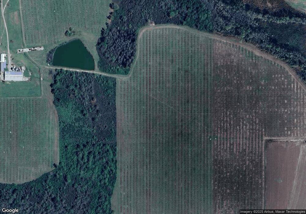
Map
Nearby Homes
- 1168 Mitchell Road (112 Acres)
- 1168 Mitchell Rd
- 00 Stage Coach Rd
- 136 Harmony Rd
- 831 Cottonwood Rd
- 00 Laverne Ln
- 1181 U S 19
- 1197 U S 19
- 547 Cotton Rd NE
- 482 Curry St NE
- 438 Dogwood Dr NE
- 375 Baggs Ave SE
- 335 Curry St NE
- 323 Curry St NE
- 199 Carroll St NE
- 183 Baggs Ave SE
- 135 Baggs Ave SE
- 3** Youngs Mill Rd
- 210 Castleberry St NW
- 212 Hand Ave W
- 5304 Ga Highway 93
- 5374 Ga Highway 93
- 5404 Ga Highway 93
- 5380 Ga Highway 93
- 1898 Taylor Rd
- 5307 Ga Highway 93
- 5385 Ga Highway 93
- 5250 Ga Highway 93
- 5240 Ga Highway 93
- 5474 Ga Highway 93
- 1897 Taylor Rd
- 5490 Georgia 93
- 5490 Ga Highway 93
- 5471 Ga Highway 93
- 4465 Stage Coach Rd
- 2195
- 2195 Produce Rd
- 2343 Produce Rd
- 5646 Ga Highway 93
- 2036 Produce Rd