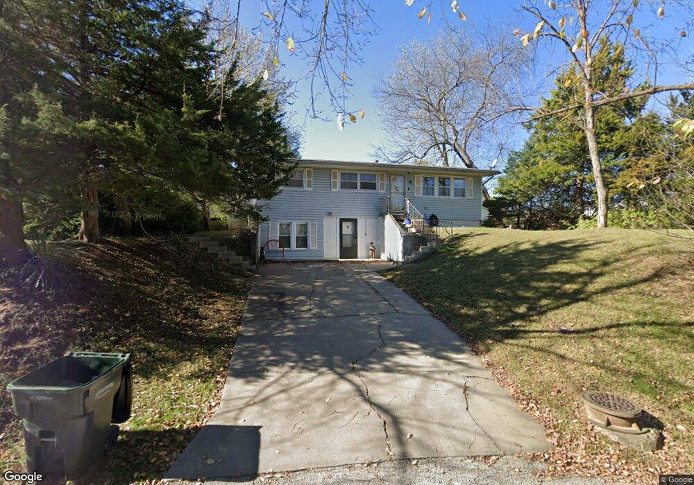
1900 W 7th St Leavenworth, KS 66048
Estimated Value: $191,336 - $238,000
3
Beds
2
Baths
1,025
Sq Ft
$201/Sq Ft
Est. Value
About This Home
This home is located at 1900 W 7th St, Leavenworth, KS 66048 and is currently estimated at $206,334, approximately $201 per square foot. 1900 W 7th St is a home located in Leavenworth County with nearby schools including Anthony Elementary School, Richard Warren Middle School, and Leavenworth Senior High School.
Ownership History
Date
Name
Owned For
Owner Type
Purchase Details
Closed on
Jan 20, 2022
Sold by
Logan Sr John W
Bought by
Logan John W and Logan Mary L
Current Estimated Value
Purchase Details
Closed on
Oct 1, 2004
Bought by
Logan John W
Home Financials for this Owner
Home Financials are based on the most recent Mortgage that was taken out on this home.
Original Mortgage
$77,838
Interest Rate
5.72%
Mortgage Type
FHA
Create a Home Valuation Report for This Property
The Home Valuation Report is an in-depth analysis detailing your home's value as well as a comparison with similar homes in the area
Home Values in the Area
Average Home Value in this Area
Purchase History
| Date | Buyer | Sale Price | Title Company |
|---|---|---|---|
| Logan John W | -- | None Listed On Document | |
| Logan John W | $77,540 | -- |
Source: Public Records
Mortgage History
| Date | Status | Borrower | Loan Amount |
|---|---|---|---|
| Previous Owner | Logan John W | $77,838 |
Source: Public Records
Tax History Compared to Growth
Tax History
| Year | Tax Paid | Tax Assessment Tax Assessment Total Assessment is a certain percentage of the fair market value that is determined by local assessors to be the total taxable value of land and additions on the property. | Land | Improvement |
|---|---|---|---|---|
| 2025 | $1,948 | $17,761 | $926 | $16,835 |
| 2024 | $1,947 | $16,916 | $926 | $15,990 |
| 2023 | $1,947 | $16,265 | $926 | $15,339 |
| 2022 | $1,705 | $14,143 | $982 | $13,161 |
| 2021 | $1,535 | $11,816 | $982 | $10,834 |
| 2020 | $1,407 | $10,726 | $982 | $9,744 |
| 2019 | $1,327 | $10,012 | $982 | $9,030 |
| 2018 | $1,263 | $9,445 | $982 | $8,463 |
| 2017 | $1,125 | $8,772 | $982 | $7,790 |
| 2016 | $1,127 | $8,772 | $982 | $7,790 |
| 2015 | $1,162 | $9,085 | $1,356 | $7,729 |
| 2014 | $1,157 | $9,085 | $1,356 | $7,729 |
Source: Public Records
Map
Nearby Homes
- 1913 Cleveland Terrace
- 708 Thornton St
- 1932 S Broadway St
- 1708 S Broadway St
- 1610 S Broadway St
- 2307 Maple Ave
- 522 Buttinger Place
- 1417 5th Ave
- 1700 Lawrence Ave
- 559 Prospect St
- 507 Santa fe St
- 1203 5th Ave
- 1509 10th Ave
- 2825 Broadway Terrace
- 2704 Garland St
- 419 Linn St
- 1420 10th Ave
- 1715 Klemp St
- 1305 Lawrence Ave
- 502 Vine St
- 1906 W 7th St
- 712 Rees St
- 1901 Cleveland Terrace
- 716 Rees St
- 708 Rees St
- 1905 Cleveland Terrace
- 1900 5th Ave
- 1906 5th Ave
- 1841 Cleveland Terrace
- 1914 W 7th St
- 1910 5th Ave
- 1909 Cleveland Terrace
- 00000 Rees St
- 1820 5th Ave
- 1908 5th Ave
- 1914 5th Ave
- 1818 5th Ave
- 1918 W 7th St
- 1918 5th Ave
- 1835 Cleveland Terrace