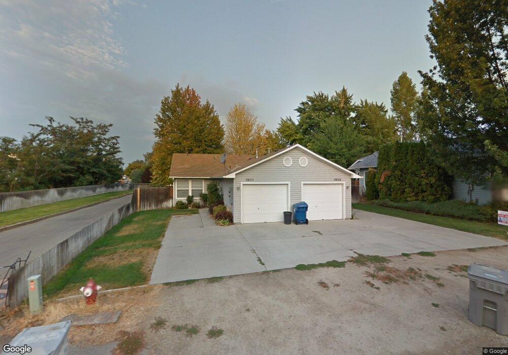
1901 N Allumbaugh St Boise, ID 83704
West Boise NeighborhoodEstimated Value: $488,000 - $546,000
4
Beds
2
Baths
1,740
Sq Ft
$301/Sq Ft
Est. Value
About This Home
This home is located at 1901 N Allumbaugh St, Boise, ID 83704 and is currently estimated at $523,117, approximately $300 per square foot. 1901 N Allumbaugh St is a home located in Ada County with nearby schools including Koelsch Elementary School, Fairmont Junior High School, and Capital High School.
Ownership History
Date
Name
Owned For
Owner Type
Purchase Details
Closed on
Jan 11, 2024
Sold by
Evans/Reich Trust
Bought by
Evans/Reich Family Trust and Evans
Current Estimated Value
Purchase Details
Closed on
Apr 6, 1999
Sold by
Thurber Richard O and Thurber Virginia L
Bought by
Palmer Rosemary G and Palmer Fred W
Home Financials for this Owner
Home Financials are based on the most recent Mortgage that was taken out on this home.
Original Mortgage
$50,000
Interest Rate
6.54%
Mortgage Type
Purchase Money Mortgage
Create a Home Valuation Report for This Property
The Home Valuation Report is an in-depth analysis detailing your home's value as well as a comparison with similar homes in the area
Home Values in the Area
Average Home Value in this Area
Purchase History
| Date | Buyer | Sale Price | Title Company |
|---|---|---|---|
| Evans/Reich Family Trust | -- | None Listed On Document | |
| Palmer Rosemary G | -- | Pioneer Title Company |
Source: Public Records
Mortgage History
| Date | Status | Borrower | Loan Amount |
|---|---|---|---|
| Previous Owner | Palmer Rosemary G | $50,000 |
Source: Public Records
Tax History Compared to Growth
Tax History
| Year | Tax Paid | Tax Assessment Tax Assessment Total Assessment is a certain percentage of the fair market value that is determined by local assessors to be the total taxable value of land and additions on the property. | Land | Improvement |
|---|---|---|---|---|
| 2025 | $4,414 | $509,400 | -- | -- |
| 2024 | $5,102 | $486,400 | -- | -- |
| 2023 | $5,102 | $534,300 | $0 | $0 |
| 2022 | $4,175 | $481,500 | $0 | $0 |
| 2021 | $4,335 | $396,600 | $0 | $0 |
| 2020 | $3,443 | $290,000 | $0 | $0 |
| 2019 | $3,445 | $253,900 | $0 | $0 |
| 2018 | $3,071 | $202,300 | $0 | $0 |
| 2017 | $2,878 | $180,100 | $0 | $0 |
| 2016 | $2,748 | $167,800 | $0 | $0 |
| 2015 | $2,723 | $168,100 | $0 | $0 |
| 2012 | -- | $135,400 | $0 | $0 |
Source: Public Records
Map
Nearby Homes
- 2001 N Allumbaugh St
- 6738 W Westwood Ln
- 2101 N Allumbaugh St
- 2110 N Allumbaugh St
- 6800 W Folk Dr
- 6808 W Folk Dr
- 6827 W Northview St
- 6404 W York St
- 7048 W Colehaven Dr
- 7060 W Colehaven Ln
- 7103 W Northview St
- 7084 W Colehaven Ln
- 1703 N Hartman St
- 6402 W Northview St
- 6214 W York St
- 6932 W Irving Ln
- 7230 W Northview St
- 1427 N Bluffs Ridge Ln
- 1421 N Bluffs Ridge Ln
- 1415 N Bluffs Ridge Ln
- 1907 N Allumbaugh St
- 6807 W Waverly Ct
- 6810 W Russett St
- 6800 W Russett St
- 1906 N Allumbaugh St
- 6820 W Russett St
- 6831 W Waverly Ct
- 1935 N Hailey Ln
- 6855 W Waverly Ct
- 6850 W Russett St
- 2010 N Allumbaugh St
- 1872 N Allumbaugh St
- 1940 N Hailey Ln
- 6860 W Russett St
- 1933 N Allumbaugh St
- 6828 W Waverly Ct
- 6879 W Waverly Ct
- 6870 W Russett St
- 1870 N Allumbaugh St
- 2014 N Allumbaugh St