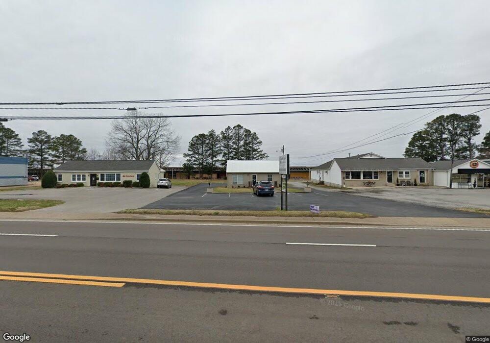
1901 N Locust Ave Lawrenceburg, TN 38464
Estimated Value: $177,000 - $266,000
--
Bed
--
Bath
992
Sq Ft
$213/Sq Ft
Est. Value
About This Home
This home is located at 1901 N Locust Ave, Lawrenceburg, TN 38464 and is currently estimated at $211,217, approximately $212 per square foot. 1901 N Locust Ave is a home with nearby schools including Ingram Sowell Elementary School, Lawrenceburg Public Elementary School, and Ethridge Elementary School.
Ownership History
Date
Name
Owned For
Owner Type
Purchase Details
Closed on
Oct 25, 2013
Bought by
Parks Chandler Anthony
Current Estimated Value
Purchase Details
Closed on
Aug 18, 1998
Sold by
Chandler William P
Bought by
Randy Jacobs
Purchase Details
Closed on
Dec 30, 1996
Sold by
Jerry Cash
Bought by
Chandler William P
Purchase Details
Closed on
Jun 6, 1977
Bought by
Cash Jerry and Chandler William P
Create a Home Valuation Report for This Property
The Home Valuation Report is an in-depth analysis detailing your home's value as well as a comparison with similar homes in the area
Home Values in the Area
Average Home Value in this Area
Purchase History
| Date | Buyer | Sale Price | Title Company |
|---|---|---|---|
| Parks Chandler Anthony | -- | -- | |
| Chandler Anthony Parks | -- | -- | |
| Randy Jacobs | -- | -- | |
| Chandler William P | $50,000 | -- | |
| Cash Jerry | -- | -- |
Source: Public Records
Tax History Compared to Growth
Tax History
| Year | Tax Paid | Tax Assessment Tax Assessment Total Assessment is a certain percentage of the fair market value that is determined by local assessors to be the total taxable value of land and additions on the property. | Land | Improvement |
|---|---|---|---|---|
| 2025 | $1,957 | $62,960 | $0 | $0 |
| 2024 | $1,957 | $62,960 | $42,360 | $20,600 |
| 2023 | $1,957 | $62,960 | $42,360 | $20,600 |
| 2022 | $1,957 | $62,960 | $42,360 | $20,600 |
| 2021 | $2,448 | $55,680 | $42,360 | $13,320 |
| 2020 | $2,448 | $55,680 | $42,360 | $13,320 |
| 2019 | $2,448 | $55,680 | $42,360 | $13,320 |
| 2018 | $2,448 | $55,680 | $42,360 | $13,320 |
| 2017 | $2,484 | $56,520 | $42,360 | $14,160 |
| 2016 | $2,484 | $56,520 | $42,360 | $14,160 |
| 2015 | $2,352 | $56,520 | $42,360 | $14,160 |
| 2014 | $2,218 | $53,280 | $38,520 | $14,760 |
Source: Public Records
Map
Nearby Homes
- 413 Kirk St
- 335 Robins St
- 1306 Hart Ave
- 1216 Poplar Dr
- 301 Simpson St
- 314 Avon St
- 313 Simpson St
- 48 Woodland Cir
- 0 Woodland Cir Unit RTC3033314
- 1050 Baylee Cir
- 717 Toben Terrace
- 4951 Weakley Creek Rd
- 502 9th St
- 975 Weakley Creek Rd
- 4000 Weakley Creek Rd
- 97 Crawfish Ln
- 1303 5th Ave
- 806 Fair Ave
- 801 Douglas Dr
- 802 Mahr Ave
- 1821 N Locust Ave
- 1817 N Locust Ave
- 1940 N Locust Ave
- 21128 N Locust Ave
- 1954 N Locust Ave
- 2005 N Locust Ave
- 0 Business Ave Unit 1903434
- 0 Business Ave Unit 1545582
- 0 Business Ave Unit 1616011
- 0 Business Ave Unit 1686891
- 0 Business Ave Unit 1670903
- 0 Business Ave Unit 1722129
- 0 Business Ave Unit 1753599
- 0 Business Ave Unit 1816726
- 0 Business Ave Unit RTC1503951
- 0 Business Ave Unit RTC1423147
- 0 Business Ave Unit RTC1371967
- 0 Business Ave Unit RTC1370325
- 0 Business Ave Unit RTC1286446
- 0 Business Ave Unit 2071063