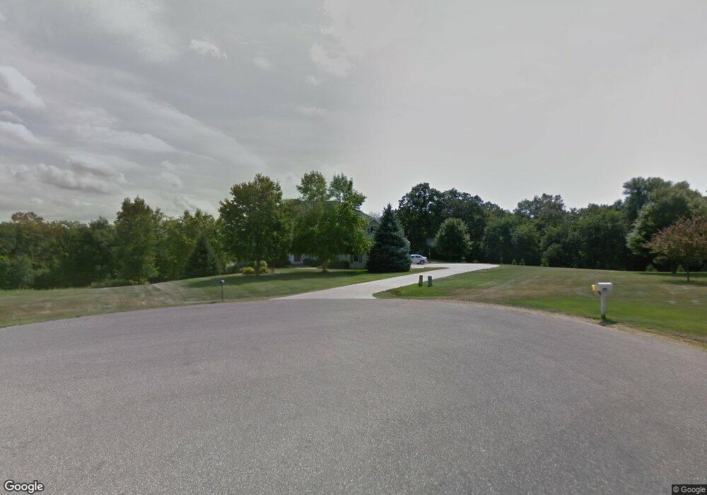
1901 Red Fox Dr Red Wing, MN 55066
Estimated Value: $631,150 - $697,000
5
Beds
3
Baths
3,600
Sq Ft
$185/Sq Ft
Est. Value
About This Home
This home is located at 1901 Red Fox Dr, Red Wing, MN 55066 and is currently estimated at $665,538, approximately $184 per square foot. 1901 Red Fox Dr is a home located in Goodhue County with nearby schools including Burnside Elementary School, Sunnyside Elementary School, and Twin Bluff Middle School.
Ownership History
Date
Name
Owned For
Owner Type
Purchase Details
Closed on
Sep 30, 2022
Sold by
Gadient Kelli and Gadient Jerod Arthur
Bought by
Stewart Brooklynn M
Current Estimated Value
Purchase Details
Closed on
Dec 29, 2016
Sold by
Walch Christopher P and Walch Margaret M
Bought by
Gadient Jerod A and Gadient Kelli Jean
Purchase Details
Closed on
Aug 15, 2000
Sold by
Dahl Jacob M and Dahl Pamela M
Bought by
Walch Christopher P and Walch Margaret M
Purchase Details
Closed on
Aug 10, 2000
Sold by
Wedrickas Gary A and Wedrickas Robin A
Bought by
Dahl Jacob M and Dahl Pamela M
Create a Home Valuation Report for This Property
The Home Valuation Report is an in-depth analysis detailing your home's value as well as a comparison with similar homes in the area
Home Values in the Area
Average Home Value in this Area
Purchase History
| Date | Buyer | Sale Price | Title Company |
|---|---|---|---|
| Stewart Brooklynn M | $255,900 | -- | |
| Gadient Jerod A | $389,000 | Goodhue County Abstract | |
| Walch Christopher P | $67,241 | -- | |
| Dahl Jacob M | $37,800 | -- |
Source: Public Records
Tax History
| Year | Tax Paid | Tax Assessment Tax Assessment Total Assessment is a certain percentage of the fair market value that is determined by local assessors to be the total taxable value of land and additions on the property. | Land | Improvement |
|---|---|---|---|---|
| 2025 | $9,148 | $654,900 | $84,000 | $570,900 |
| 2024 | -- | $643,900 | $84,000 | $559,900 |
| 2023 | $8,904 | $634,100 | $84,000 | $550,100 |
| 2022 | $8,044 | $629,300 | $83,400 | $545,900 |
| 2021 | $7,276 | $531,200 | $83,400 | $447,800 |
| 2020 | $7,220 | $492,900 | $83,400 | $409,500 |
| 2019 | $7,228 | $456,000 | $83,400 | $372,600 |
| 2018 | $6,492 | $462,000 | $83,400 | $378,600 |
| 2017 | $6,322 | $439,500 | $80,600 | $358,900 |
| 2016 | $5,828 | $433,200 | $80,600 | $352,600 |
| 2015 | $5,592 | $418,300 | $80,600 | $337,700 |
| 2014 | -- | $402,600 | $80,600 | $322,000 |
Source: Public Records
Map
Nearby Homes
- 1125 Hewitt Blvd
- 2773 Ridgeview Dr
- 1330 Hillside Dr
- 1348 Hillside Dr
- 113 Burnside Ave S
- 1828 Perlich Ave Unit 2G
- 1684 Siewert St
- 1757 Cobblestone Ct
- 3429 Helen Ln
- 430 Harrison St
- 717 Blaine St
- 186 Sargent Dr
- 210 Sargent Dr Unit 103
- 1738 W 6th St
- 1715 W 5th St
- 1056 Birch Ave
- 1528 W 6th St
- 2345 S Oak Dr
- 912 Aurora Cir
- 980 Aurora Cir
- 1904 Red Fox Dr
- 1889 Red Fox Dr
- 1896 Red Fox Dr
- 1865 Red Fox Dr
- 1842 Red Fox Dr
- 1729 Red Fox Dr
- 1764 Red Fox Dr
- 3160 Cougar Ct
- 3065 Cougar Ct
- 1694 Red Fox Dr
- 1685 Red Fox Dr
- 0 Cougar Ct Unit 4469600
- 0 Cougar Ct Unit 4828689
- 0 Cougar Ct Unit 4616044
- 2985 Cougar Ct
- 3255 Wild Turkey Rd
- 2895 Cougar Ct
- 3365 Wild Turkey Rd
- 3280 Wild Turkey Rd
- 3350 Wild Turkey Rd
Your Personal Tour Guide
Ask me questions while you tour the home.