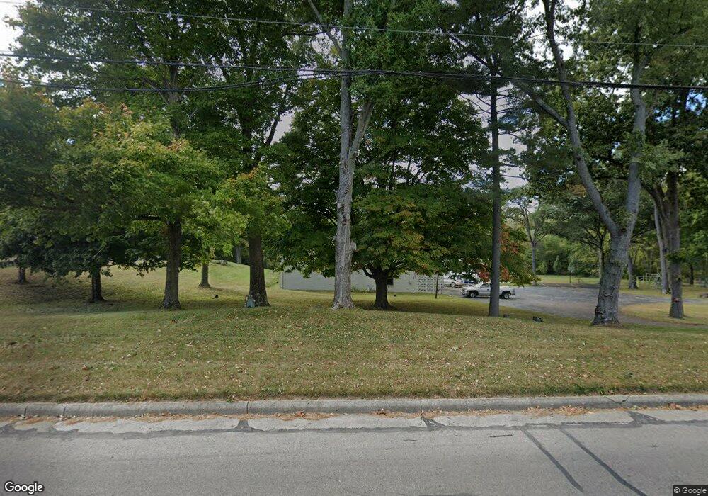
1901 S Burnett Rd Springfield, OH 45505
Estimated Value: $237,000 - $384,989
2
Beds
2
Baths
6,334
Sq Ft
$47/Sq Ft
Est. Value
About This Home
This home is located at 1901 S Burnett Rd, Springfield, OH 45505 and is currently estimated at $297,996, approximately $47 per square foot. 1901 S Burnett Rd is a home located in Clark County with nearby schools including Shawnee Middle School/High School and Springfield Preparatory & Fitness Academy.
Ownership History
Date
Name
Owned For
Owner Type
Purchase Details
Closed on
Nov 18, 2014
Sold by
The Springfield Liedertafel
Bought by
Jones David E and Jones Patricia A
Current Estimated Value
Home Financials for this Owner
Home Financials are based on the most recent Mortgage that was taken out on this home.
Original Mortgage
$55,250
Interest Rate
3.91%
Mortgage Type
Future Advance Clause Open End Mortgage
Create a Home Valuation Report for This Property
The Home Valuation Report is an in-depth analysis detailing your home's value as well as a comparison with similar homes in the area
Home Values in the Area
Average Home Value in this Area
Purchase History
| Date | Buyer | Sale Price | Title Company |
|---|---|---|---|
| Jones David E | $65,000 | Team Title & Closing Svcs Ll |
Source: Public Records
Mortgage History
| Date | Status | Borrower | Loan Amount |
|---|---|---|---|
| Closed | Jones David E | $55,250 |
Source: Public Records
Tax History Compared to Growth
Tax History
| Year | Tax Paid | Tax Assessment Tax Assessment Total Assessment is a certain percentage of the fair market value that is determined by local assessors to be the total taxable value of land and additions on the property. | Land | Improvement |
|---|---|---|---|---|
| 2024 | $5,498 | $110,120 | $17,770 | $92,350 |
| 2023 | $5,498 | $110,120 | $17,770 | $92,350 |
| 2022 | $5,454 | $110,120 | $17,770 | $92,350 |
| 2021 | $4,832 | $87,340 | $13,780 | $73,560 |
| 2020 | $4,871 | $87,340 | $13,780 | $73,560 |
| 2019 | $4,949 | $87,340 | $13,780 | $73,560 |
| 2018 | $4,922 | $85,630 | $12,520 | $73,110 |
| 2017 | $5,042 | $85,631 | $12,523 | $73,108 |
| 2016 | $5,494 | $88,246 | $12,523 | $75,723 |
| 2015 | $5,607 | $88,246 | $12,523 | $75,723 |
| 2014 | $5,557 | $88,246 | $12,523 | $75,723 |
| 2013 | $4,912 | $88,246 | $12,523 | $75,723 |
Source: Public Records
Map
Nearby Homes
- 2218 Tanager Rd
- 2216 Hackberry St
- Newcastle Plan at Sycamore Ridge
- Pendleton Plan at Sycamore Ridge
- Bellamy Plan at Sycamore Ridge
- Harmony Plan at Sycamore Ridge
- Holcombe Plan at Sycamore Ridge
- 1832 Victory Dr
- 2073 Stowe Dr
- 1554 S Belmont Ave
- 1904 Sunset Ave
- 2605 Morton Dr
- 1716 N Sweetbriar Ln
- 1915 Kenwood Ave
- 1815 Beacon St
- 1630 S Sweetbriar Ln
- 2008 Kenton St
- 1979 Kenton St
- 1810 Kenwood Ave
- 1225 Beacon St
- 1821 S Burnett Rd
- 1811 S Burnett Rd
- 1916 S Burnett Rd
- 1920 S Burnett Rd
- 1938 S Burnett Rd
- 1755 S Burnett Rd
- 1737 S Burnett Rd
- 1840 Pond Dr
- 1956 S Burnett Rd
- 1744 S Burnett Rd
- 1736 S Burnett Rd
- 1960 S Burnett Rd
- 2604 Rocket Ave
- 1724 S Burnett Rd
- 1715 S Burnett Rd
- 2610 Rocket Ave
- 1713 S Burnett Rd
- 1708 S Burnett Rd
- 1649 S Burnett Rd
- 1706 S Burnett Rd
