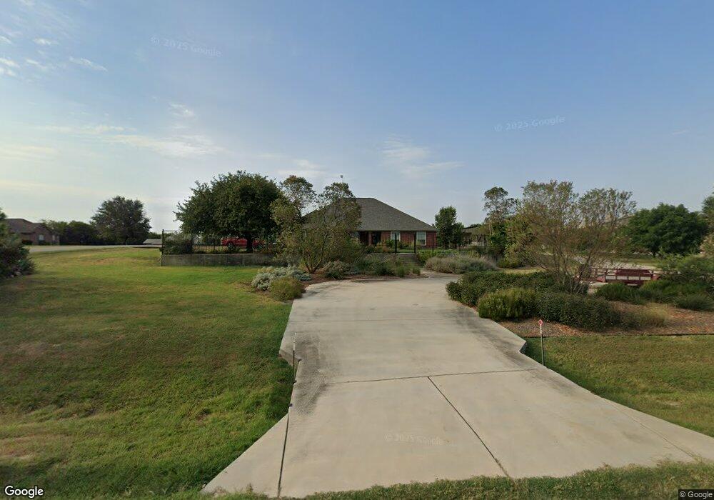
1901 Saw Tooth Ct Unit 156 Haslet, TX 76052
Estimated Value: $361,000
3
Beds
2
Baths
2,344
Sq Ft
$154/Sq Ft
Est. Value
About This Home
This home is located at 1901 Saw Tooth Ct Unit 156, Haslet, TX 76052 and is currently priced at $361,000, approximately $154 per square foot. 1901 Saw Tooth Ct Unit 156 is a home located in Tarrant County with nearby schools including Carl E. Schluter Elementary School, Leo Adams Middle School, and V.R. Eaton High School.
Ownership History
Date
Name
Owned For
Owner Type
Purchase Details
Closed on
May 10, 2021
Sold by
Gen X Lanco Llc
Bought by
Haslet Holding Llc
Current Estimated Value
Home Financials for this Owner
Home Financials are based on the most recent Mortgage that was taken out on this home.
Original Mortgage
$546,153
Outstanding Balance
$494,951
Interest Rate
3.1%
Mortgage Type
Purchase Money Mortgage
Purchase Details
Closed on
Nov 18, 2014
Sold by
Plummer Lonnie D and Plummer Lon David
Bought by
Gen X Lanco Llc
Create a Home Valuation Report for This Property
The Home Valuation Report is an in-depth analysis detailing your home's value as well as a comparison with similar homes in the area
Home Values in the Area
Average Home Value in this Area
Purchase History
| Date | Buyer | Sale Price | Title Company |
|---|---|---|---|
| Haslet Holding Llc | -- | Rattikin Title | |
| Gen X Lanco Llc | -- | Fnt |
Source: Public Records
Mortgage History
| Date | Status | Borrower | Loan Amount |
|---|---|---|---|
| Open | Haslet Holding Llc | $546,153 |
Source: Public Records
Tax History Compared to Growth
Tax History
| Year | Tax Paid | Tax Assessment Tax Assessment Total Assessment is a certain percentage of the fair market value that is determined by local assessors to be the total taxable value of land and additions on the property. | Land | Improvement |
|---|---|---|---|---|
| 2025 | $6,980 | $838,530 | $838,530 | -- |
| 2024 | $6,980 | $838,530 | $838,530 | -- |
| 2023 | $16,217 | $838,530 | $838,530 | $0 |
| 2022 | $18,030 | $838,530 | $838,530 | $0 |
| 2021 | $1,441 | $62,509 | $62,509 | $0 |
| 2020 | $1,442 | $62,509 | $62,509 | $0 |
| 2019 | $1,494 | $62,509 | $62,509 | $0 |
| 2018 | $563 | $62,509 | $62,509 | $0 |
| 2017 | $6,447 | $272,099 | $63,000 | $209,099 |
| 2016 | $5,386 | $227,319 | $72,450 | $154,869 |
| 2015 | $4,022 | $168,500 | $72,450 | $96,050 |
| 2014 | $4,022 | $168,500 | $72,450 | $96,050 |
Source: Public Records
Map
Nearby Homes
- 1872 Naseby Rd
- 1820 Walpole Way
- 1816 Walpole Way
- 11108 Blue Sky Dr
- 11325 Elk Horn Ct
- 11149 Abbotsbury Rd
- 11212 Abbotsbury Rd
- 11200 Abbotsbury Rd
- 11141 Abbotsbury Rd
- 11153 Abbotsbury Rd
- 11109 Carham St
- 1849 Walpole Way
- 1624 Wandell Way
- 1728 Wandell Way
- 1729 Truro Ln
- 1656 Wandell Way
- 1652 Wandell Way
- 1804 Roslin Rd
- 11120 Carham St
- 11141 Carham St
- 1901 Saw Tooth Ct
- 1913 Saw Tooth Ct
- 10980 Blue Sky Dr
- 11000 Blue Sky Dr
- 1900 Saw Tooth Ct
- 1900 White Cloud Ct
- 1912 Saw Tooth Ct
- 10972 Blue Sky Dr
- 1912 White Cloud Ct
- 1925 Saw Tooth Ct
- 11008 Blue Sky Dr
- 1924 White Cloud Ct
- 1924 Saw Tooth Ct
- 10964 Blue Sky Dr
- 1937 Saw Tooth Ct
- 1901 White Cloud Ct
- 1936 Saw Tooth Ct
- 1936 White Cloud Ct
- 1949 White Cloud Ct
- 10956 Blue Sky Dr