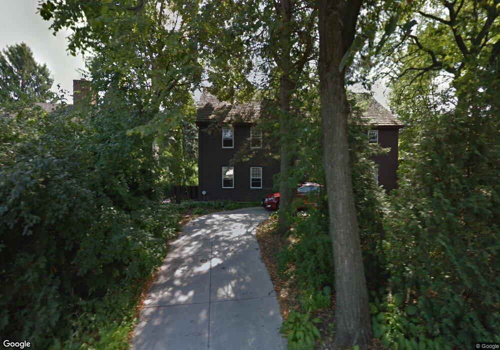
1901 Sioux Blvd New Brighton, MN 55112
Estimated Value: $713,000 - $930,000
3
Beds
4
Baths
4,176
Sq Ft
$198/Sq Ft
Est. Value
About This Home
This home is located at 1901 Sioux Blvd, New Brighton, MN 55112 and is currently estimated at $827,511, approximately $198 per square foot. 1901 Sioux Blvd is a home located in Ramsey County with nearby schools including Bel Air Elementary School, Highview Middle School, and Irondale Senior High School.
Ownership History
Date
Name
Owned For
Owner Type
Purchase Details
Closed on
Mar 30, 2015
Sold by
Quinn William W
Bought by
Murlowski Peter J and Murlowski Patricia A
Current Estimated Value
Home Financials for this Owner
Home Financials are based on the most recent Mortgage that was taken out on this home.
Original Mortgage
$300,000
Interest Rate
3.77%
Mortgage Type
Unknown
Purchase Details
Closed on
May 18, 2011
Sold by
Cardona Daniel M and Cardona Patricia A
Bought by
Quinn William W
Purchase Details
Closed on
May 22, 2002
Sold by
Murlowski John
Bought by
Cardona Daniel M
Create a Home Valuation Report for This Property
The Home Valuation Report is an in-depth analysis detailing your home's value as well as a comparison with similar homes in the area
Home Values in the Area
Average Home Value in this Area
Purchase History
| Date | Buyer | Sale Price | Title Company |
|---|---|---|---|
| Murlowski Peter J | $515,151 | Land Title Inc | |
| Quinn William W | $400,000 | -- | |
| Cardona Daniel M | $147,000 | -- | |
| Quinn William W | $400,000 | -- |
Source: Public Records
Mortgage History
| Date | Status | Borrower | Loan Amount |
|---|---|---|---|
| Closed | Murlowski Peter J | $300,000 | |
| Closed | Quinn William W | -- |
Source: Public Records
Tax History Compared to Growth
Tax History
| Year | Tax Paid | Tax Assessment Tax Assessment Total Assessment is a certain percentage of the fair market value that is determined by local assessors to be the total taxable value of land and additions on the property. | Land | Improvement |
|---|---|---|---|---|
| 2025 | $11,842 | $957,800 | $77,000 | $880,800 |
| 2023 | $11,842 | $824,400 | $70,000 | $754,400 |
| 2022 | $11,486 | $813,000 | $70,000 | $743,000 |
| 2021 | $10,616 | $745,000 | $70,000 | $675,000 |
| 2020 | $11,112 | $717,600 | $79,700 | $637,900 |
| 2019 | $10,522 | $691,800 | $79,700 | $612,100 |
| 2018 | $9,526 | $690,400 | $79,700 | $610,700 |
| 2017 | $7,666 | $618,000 | $79,700 | $538,300 |
| 2016 | $7,898 | $0 | $0 | $0 |
| 2015 | $7,688 | $512,600 | $74,400 | $438,200 |
| 2014 | $8,098 | $0 | $0 | $0 |
Source: Public Records
Map
Nearby Homes
- 566 Fairfield Dr NW
- 1833 Chatham Terrace
- 160 Brentwood Dr
- 2303 3rd St NW
- 691 20th Ave NW
- 650 23rd Ave NW
- 33 19th Ave SW
- 10 Windsor Ct Unit 102
- 2391 7th St NW
- 509 12th Ave NW
- 91 19th Ave SW
- 61 Windsor Ct
- 20 Windsor Ln Unit 111A
- 539 11th Ave NW
- 762 Silver Lake Rd NW
- 747 Redwood Ln
- 2792 Forest Dale Rd
- 228 16th Ave SW
- 190 Windsor Ln
- 212 Windsor Ct
- 1897 Sioux Blvd
- 1844 Tioga Blvd
- 1822 Tioga Blvd
- 1883 Sioux Blvd
- 390 Kiowa Ave
- 350 Kiowa Ave
- 1910 Sioux Blvd
- 1806 Tioga Blvd
- 1900 Sioux Blvd
- 1866 Tioga Blvd
- 1861 Sioux Blvd
- 420 Kiowa Ave
- 1884 Sioux Blvd
- 1798 Tioga Blvd
- 1973 Sioux Blvd
- 1922 Tioga Blvd
- 1862 Sioux Blvd
- 1837 Sioux Blvd
- 436 Kiowa Ave
- 1845 Tioga Blvd