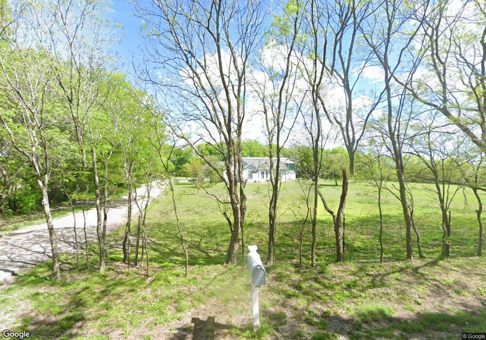
1901 W Shepherd Dr Sherman, TX 75092
Estimated Value: $423,872
--
Bed
--
Bath
1,336
Sq Ft
$317/Sq Ft
Est. Value
About This Home
This home is located at 1901 W Shepherd Dr, Sherman, TX 75092 and is currently estimated at $423,872, approximately $317 per square foot. 1901 W Shepherd Dr is a home located in Grayson County with nearby schools including Summit Hill Elementary School, Howe Middle School, and Howe High School.
Ownership History
Date
Name
Owned For
Owner Type
Purchase Details
Closed on
Oct 18, 2019
Sold by
Gregg Scott Anthony and Gregg Abbie Gail
Bought by
Owen Nikolaus and Owen Ashley
Current Estimated Value
Home Financials for this Owner
Home Financials are based on the most recent Mortgage that was taken out on this home.
Original Mortgage
$128,000
Outstanding Balance
$111,904
Interest Rate
3.4%
Mortgage Type
New Conventional
Estimated Equity
$311,968
Purchase Details
Closed on
Aug 5, 2016
Sold by
Gregg Scott Anthony
Bought by
Gregg Scott Anthony and Gregg Abbie Gail
Home Financials for this Owner
Home Financials are based on the most recent Mortgage that was taken out on this home.
Original Mortgage
$132,760
Interest Rate
3.48%
Mortgage Type
VA
Create a Home Valuation Report for This Property
The Home Valuation Report is an in-depth analysis detailing your home's value as well as a comparison with similar homes in the area
Home Values in the Area
Average Home Value in this Area
Purchase History
| Date | Buyer | Sale Price | Title Company |
|---|---|---|---|
| Owen Nikolaus | -- | Red River Title Co | |
| Gregg Scott Anthony | -- | Sendera Title |
Source: Public Records
Mortgage History
| Date | Status | Borrower | Loan Amount |
|---|---|---|---|
| Open | Owen Nikolaus | $128,000 | |
| Previous Owner | Gregg Scott Anthony | $132,760 |
Source: Public Records
Tax History Compared to Growth
Tax History
| Year | Tax Paid | Tax Assessment Tax Assessment Total Assessment is a certain percentage of the fair market value that is determined by local assessors to be the total taxable value of land and additions on the property. | Land | Improvement |
|---|---|---|---|---|
| 2025 | $6,888 | $348,156 | $65,000 | $283,156 |
| 2024 | $8,183 | $408,295 | $90,000 | $318,295 |
| 2023 | $8,498 | $423,000 | $100,000 | $323,000 |
| 2022 | $6,471 | $295,263 | $60,000 | $235,263 |
| 2021 | $5,723 | $235,809 | $35,000 | $200,809 |
| 2020 | $5,411 | $215,142 | $35,000 | $180,142 |
| 2019 | $3,502 | $197,649 | $22,000 | $175,649 |
| 2018 | $3,021 | $165,220 | $16,000 | $149,220 |
| 2017 | $2,736 | $144,857 | $16,000 | $128,857 |
| 2016 | $2,487 | $142,079 | $16,000 | $126,079 |
| 2015 | $0 | $92,129 | $11,000 | $81,129 |
| 2014 | -- | $92,865 | $13,150 | $79,715 |
Source: Public Records
Map
Nearby Homes
- Shepherd Dr
- 1420 W Shepherd Dr
- TBD Shepherd Dr
- 1100 W Shepherd Dr
- 2164 Ford Rd
- 7811 Farm To Market 902
- 2164 Midway Acres Dr
- 1525 Smith Rd
- 1538 Timbercreek Dr
- 3356 Old Dorchester Rd
- TBD 15 AC Flanary Rd
- 57 Lonesome Dove Dr
- 3410 Old Dorchester Rd
- 1822 Clegg St
- 1807 Douglas St
- 1808 Douglas St
- Aaron Plan at Noble Ridge - Majors
- Idlewood Plan at Noble Ridge - Cottage
- Gehrig Plan at Noble Ridge - Majors
- Morrow Plan at Noble Ridge - Cottage
- 1911 W Shepherd Dr
- 7111 Farmington Rd
- 6903 Farmington Rd
- 7015 Farmington Rd
- 1624 W Shepherd Dr
- 6001 Farmington Rd
- 00 W Shepherd
- 000 Shepherd Dr
- 0 Sheppard Dr Unit 11409061
- 1600 W Shepherd Dr
- 0000 W Shepherd Dr
- 0000 Farmington Rd
- 10.14 Farmington
- 1312 W Shepherd Dr
- 1411 W Shepherd Dr
- 16.958 W Shepherd Dr
- 1201 W Shepherd Dr