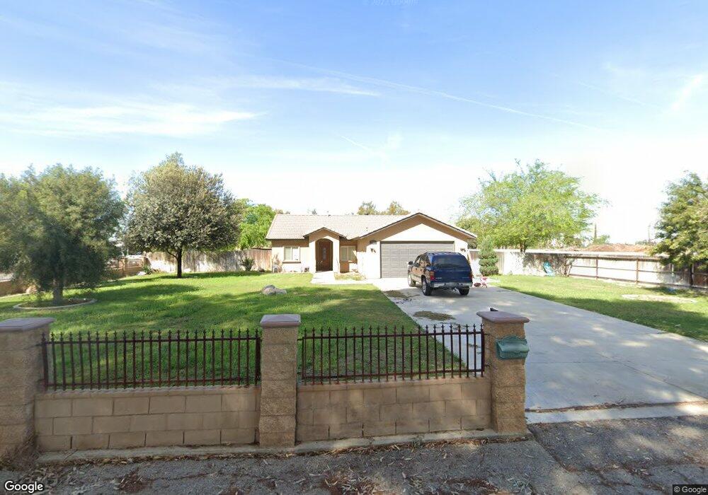
1901 Weedpatch Hwy Bakersfield, CA 93307
Estimated Value: $369,877 - $639,000
3
Beds
2
Baths
1,548
Sq Ft
$336/Sq Ft
Est. Value
About This Home
This home is located at 1901 Weedpatch Hwy, Bakersfield, CA 93307 and is currently estimated at $519,969, approximately $335 per square foot. 1901 Weedpatch Hwy is a home located in Kern County with nearby schools including Shirley Lane Elementary School, Virginia Avenue Elementary School, and Fairfax Middle School.
Ownership History
Date
Name
Owned For
Owner Type
Purchase Details
Closed on
Nov 14, 2007
Sold by
Ford Virginia
Bought by
Ford Virginia
Current Estimated Value
Purchase Details
Closed on
Oct 29, 2007
Sold by
Ford Clinton Eugene and Ford Clinton E
Bought by
Ford Virginia A
Purchase Details
Closed on
Mar 20, 2007
Sold by
Ford Virginia
Bought by
Vf Residential Properties Llc
Purchase Details
Closed on
Mar 11, 1998
Sold by
Epps Kathleen B
Bought by
Ford Clinton E and Ford Virginia A
Create a Home Valuation Report for This Property
The Home Valuation Report is an in-depth analysis detailing your home's value as well as a comparison with similar homes in the area
Purchase History
| Date | Buyer | Sale Price | Title Company |
|---|---|---|---|
| Ford Virginia | -- | None Available | |
| Ford Virginia A | -- | None Available | |
| Vf Residential Properties Llc | -- | None Available | |
| Ford Clinton E | $76,000 | -- |
Source: Public Records
Tax History
| Year | Tax Paid | Tax Assessment Tax Assessment Total Assessment is a certain percentage of the fair market value that is determined by local assessors to be the total taxable value of land and additions on the property. | Land | Improvement |
|---|---|---|---|---|
| 2025 | $2,838 | $186,003 | $63,853 | $122,150 |
| 2024 | $2,736 | $182,356 | $62,601 | $119,755 |
| 2023 | $2,736 | $178,781 | $61,374 | $117,407 |
| 2022 | $2,638 | $175,276 | $60,171 | $115,105 |
| 2021 | $2,533 | $171,841 | $58,992 | $112,849 |
| 2020 | $2,437 | $170,080 | $58,388 | $111,692 |
| 2019 | $2,391 | $170,080 | $58,388 | $111,692 |
| 2018 | $2,371 | $163,477 | $56,122 | $107,355 |
| 2017 | $2,340 | $160,272 | $55,022 | $105,250 |
| 2016 | $2,153 | $157,131 | $53,944 | $103,187 |
| 2015 | $2,146 | $154,772 | $53,134 | $101,638 |
| 2014 | $2,102 | $151,742 | $52,094 | $99,648 |
Source: Public Records
Map
Nearby Homes
- 2351 Emmy Dr
- 8400 E Wilson Rd
- 7601 Redbank Rd
- 8116 Halleluiah St
- 8802 Almata Ave
- 0 Nanak Rd
- 8603 Almata Ave
- 8832 Kerrnita Rd
- 8603 Criterion Dr
- 8447 Muller Rd
- 8324 Georgetown Dr Unit 2027
- 8311 Morehouse Ave Unit 2042A
- 8303 Morehouse Ave Unit 2041A
- 8240 Morehouse Ave Unit 2031A
- 8228 Morehouse Ave Unit 2033A
- 8229 Morehouse Ave Unit 2038A
- 8509 Criterion Dr
- 8223 Morehouse Ave Unit 2037A
- 8216 Morehouse Ave Unit 2035A
- 4812 Sammons Ave
- 1901 Emmy Dr
- 1910 Weedpatch Hwy
- 1826 Weedpatch Hwy
- 2031 Emmy Dr
- 8100 Bengston Ave
- 1928 Weedpatch Hwy
- 8021 Vera Ave
- 1940 Weedpatch Hwy
- 8200 Bengston Ave
- 2022 Weedpatch Hwy
- 8009 Vera Ave
- 7933 Bonanza Dr
- 8301 Kattie Ave
- 8020 Vera Ave
- 1713 Weedpatch Hwy
- 2050 Weedpatch Hwy
- 8300 Bengston Ave
- 8008 Vera Ave
- 8021 Redbank Rd
- 7921 Vera Ave
Your Personal Tour Guide
Ask me questions while you tour the home.