19010 High Prairie Rd Leavenworth, KS 66048
Estimated Value: $430,000 - $645,000
2
Beds
2
Baths
1,584
Sq Ft
$318/Sq Ft
Est. Value
About This Home
This home is located at 19010 High Prairie Rd, Leavenworth, KS 66048 and is currently estimated at $503,445, approximately $317 per square foot. 19010 High Prairie Rd is a home located in Leavenworth County with nearby schools including Lansing Elementary School, Lansing Middle 6-8, and Lansing High 9-12.
Ownership History
Date
Name
Owned For
Owner Type
Purchase Details
Closed on
Oct 1, 2020
Sold by
Avis Nielsen Lois
Bought by
Mashburn Lewis Mobley and Mashburn Teresa Lynch
Current Estimated Value
Home Financials for this Owner
Home Financials are based on the most recent Mortgage that was taken out on this home.
Original Mortgage
$165,000
Outstanding Balance
$118,591
Interest Rate
2.9%
Mortgage Type
VA
Estimated Equity
$384,854
Purchase Details
Closed on
Mar 1, 1987
Bought by
Nielsen Lois A
Create a Home Valuation Report for This Property
The Home Valuation Report is an in-depth analysis detailing your home's value as well as a comparison with similar homes in the area
Home Values in the Area
Average Home Value in this Area
Purchase History
| Date | Buyer | Sale Price | Title Company |
|---|---|---|---|
| Mashburn Lewis Mobley | $161,700 | Kansas Secured Title | |
| Nielsen Lois A | $29,250 | -- |
Source: Public Records
Mortgage History
| Date | Status | Borrower | Loan Amount |
|---|---|---|---|
| Open | Mashburn Lewis Mobley | $165,000 |
Source: Public Records
Tax History Compared to Growth
Tax History
| Year | Tax Paid | Tax Assessment Tax Assessment Total Assessment is a certain percentage of the fair market value that is determined by local assessors to be the total taxable value of land and additions on the property. | Land | Improvement |
|---|---|---|---|---|
| 2025 | $3,962 | $35,271 | $5,926 | $29,345 |
| 2024 | $3,728 | $35,255 | $5,567 | $29,688 |
| 2023 | $3,728 | $34,558 | $5,520 | $29,038 |
| 2022 | $3,389 | $30,373 | $4,708 | $25,665 |
| 2021 | $2,694 | $23,817 | $3,534 | $20,283 |
| 2020 | $2,506 | $21,826 | $3,387 | $18,439 |
| 2019 | $2,144 | $18,692 | $2,800 | $15,892 |
| 2018 | $2,008 | $17,542 | $2,779 | $14,763 |
| 2017 | $1,899 | $16,552 | $2,773 | $13,779 |
| 2016 | $1,895 | $16,541 | $2,704 | $13,837 |
| 2015 | $1,886 | $16,529 | $2,692 | $13,837 |
| 2014 | $1,765 | $15,766 | $2,686 | $13,080 |
Source: Public Records
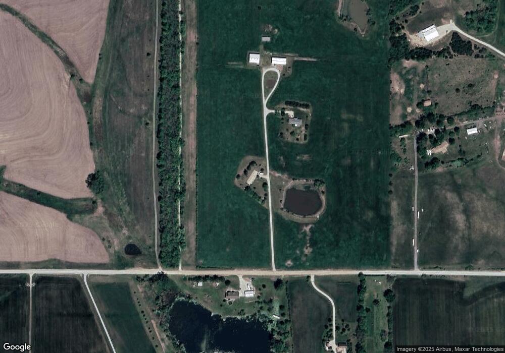
Map
Nearby Homes
- 28527 187th St
- 26277 187th St
- Lot 5 195th St
- Lot 4 195th St
- 17739 Eisenhower Rd
- 17470 Springdale Rd
- Lot 5 Bauserman Rd
- 00000 Michals Rd
- 17096 Eisenhower Rd
- 1964 Eisenhower Rd
- 503 Limit St
- Lot 3 179th St
- Lot 2 179th St
- Lot 1 179th St
- 4236 Clayton Ct
- 2151 Shenandoah Dr
- 25770 Tonganoxie Dr
- 2150 Shenandoah Dr
- 0000 Eisenhower Rd
- 2248 Vilas St
- 19015 High Prairie Rd
- 19008 High Prairie Rd
- 27703 187th St
- 2 High Prairie Rd
- 1 High Prairie Rd
- 19330 High Prairie Rd
- 27907 187th St
- 18725 High Prairie Rd
- 27702 187th St
- 18698 High Prairie Rd
- 18665 High Prairie Rd
- 27945 187th St
- 19406 High Prairie Rd
- 27319 187th St
- 27838 187th St
- 19413 High Prairie Rd
- 27376 187th St
- 27362 187th St
- 28041 187th St
- 28191 187th St