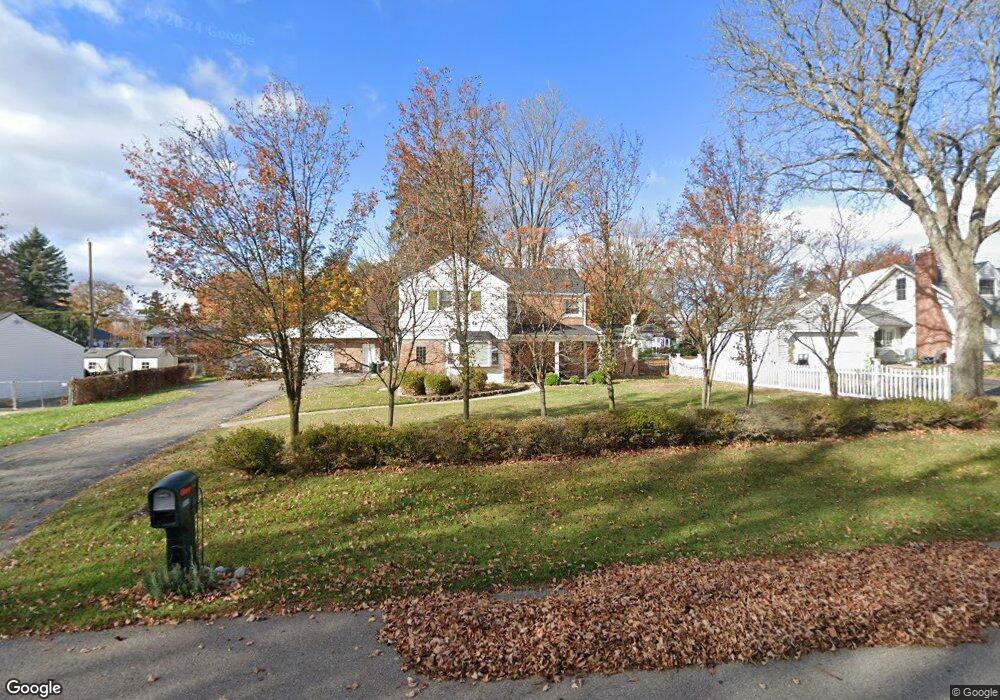
19011 Loveland St Livonia, MI 48152
Estimated Value: $341,000 - $385,000
4
Beds
2
Baths
1,878
Sq Ft
$194/Sq Ft
Est. Value
About This Home
This home is located at 19011 Loveland St, Livonia, MI 48152 and is currently estimated at $363,465, approximately $193 per square foot. 19011 Loveland St is a home located in Wayne County with nearby schools including Cass Elementary School, Riley Upper Elementary School, and Holmes Middle School.
Ownership History
Date
Name
Owned For
Owner Type
Purchase Details
Closed on
Jul 15, 2009
Sold by
Douglas Dave G and Douglas Heather A
Bought by
Us Bank National Association
Current Estimated Value
Purchase Details
Closed on
Jan 13, 2006
Sold by
Purkiss Deanne and Purkiss Paul
Bought by
Douglas Dave G
Purchase Details
Closed on
Sep 15, 2000
Sold by
Salmond Lori
Bought by
Purkiss Deanne
Purchase Details
Closed on
Jun 16, 1995
Sold by
Golisch David R
Bought by
Lori Steve and Lori Salmond
Create a Home Valuation Report for This Property
The Home Valuation Report is an in-depth analysis detailing your home's value as well as a comparison with similar homes in the area
Home Values in the Area
Average Home Value in this Area
Purchase History
| Date | Buyer | Sale Price | Title Company |
|---|---|---|---|
| Us Bank National Association | $153,000 | None Available | |
| Douglas Dave G | $252,000 | Cambridge Title Company Llc | |
| Purkiss Deanne | $209,000 | -- | |
| Lori Steve | $97,000 | -- |
Source: Public Records
Tax History Compared to Growth
Tax History
| Year | Tax Paid | Tax Assessment Tax Assessment Total Assessment is a certain percentage of the fair market value that is determined by local assessors to be the total taxable value of land and additions on the property. | Land | Improvement |
|---|---|---|---|---|
| 2025 | $2,339 | $152,400 | $0 | $0 |
| 2024 | $2,339 | $147,200 | $0 | $0 |
| 2023 | $2,232 | $138,900 | $0 | $0 |
| 2022 | $3,919 | $127,500 | $0 | $0 |
| 2021 | $3,806 | $122,600 | $0 | $0 |
| 2019 | $3,652 | $108,000 | $0 | $0 |
| 2018 | $1,887 | $102,600 | $0 | $0 |
| 2017 | $3,340 | $103,600 | $0 | $0 |
| 2016 | $3,470 | $101,200 | $0 | $0 |
| 2015 | $8,400 | $93,510 | $0 | $0 |
| 2012 | -- | $79,480 | $26,550 | $52,930 |
Source: Public Records
Map
Nearby Homes
- 18902 Westmore St
- Vacant Newburg Newburg
- 19250 Farmington Rd
- 19288 Farmington Rd
- 19292 Farmington Rd
- 18500 Mayfield St
- 18571 Farmington Rd
- 18543 Farmington Rd
- 18248 Farmington Rd
- 18582 Whitby St
- 32905 Brookside Cir Unit 3
- 34058 Gable Dr
- 19443 Auburndale St
- 19647 Osmus St
- 17760 Loveland St
- 18526 Southampton St
- 19021 Merriman Rd
- 32038 Pembroke St
- 19436 Donna St
- 20203 Hubbard St
- 19021 Loveland St
- 18965 Loveland St
- 19000 Woodring St
- 19002 Woodring St
- 19004 Woodring St
- 18945 Loveland St
- 18954 Woodring St
- 19010 Woodring St
- 18946 Woodring St
- 19020 Woodring St
- 18960 Loveland St
- 18925 Loveland St
- 18930 Woodring St
- 33015 7 Mile Rd
- 19017 Woodring St
- 18928 Loveland St
- 19015 Woodring St
- 18959 Mayfield St
- 18935 Woodring St
- 18905 Loveland St