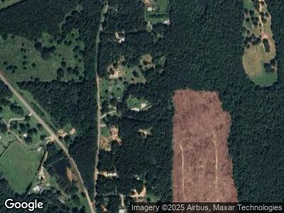
19020 Highway 78 Muscadine, AL 36269
Estimated Value: $122,371 - $194,000
--
Bed
1
Bath
1,248
Sq Ft
$129/Sq Ft
Est. Value
About This Home
This home is located at 19020 Highway 78, Muscadine, AL 36269 and is currently estimated at $161,343, approximately $129 per square foot. 19020 Highway 78 is a home located in Cleburne County.
Ownership History
Date
Name
Owned For
Owner Type
Purchase Details
Closed on
Apr 14, 2025
Sold by
Sparks Elizabeth Louise Lambert Dryden S
Bought by
Dryden Richard E
Current Estimated Value
Purchase Details
Closed on
Dec 23, 2021
Sold by
George Kelley
Bought by
Holcombe Martha
Create a Home Valuation Report for This Property
The Home Valuation Report is an in-depth analysis detailing your home's value as well as a comparison with similar homes in the area
Home Values in the Area
Average Home Value in this Area
Purchase History
| Date | Buyer | Sale Price | Title Company |
|---|---|---|---|
| Dryden Richard E | $89,500 | None Listed On Document | |
| Holcombe Martha | -- | None Listed On Document |
Source: Public Records
Mortgage History
| Date | Status | Borrower | Loan Amount |
|---|---|---|---|
| Previous Owner | Kelley George | $10,000 |
Source: Public Records
Tax History Compared to Growth
Tax History
| Year | Tax Paid | Tax Assessment Tax Assessment Total Assessment is a certain percentage of the fair market value that is determined by local assessors to be the total taxable value of land and additions on the property. | Land | Improvement |
|---|---|---|---|---|
| 2024 | $109 | $18,808 | $2,376 | $16,432 |
| 2023 | $109 | $17,136 | $2,200 | $14,936 |
| 2022 | $0 | $17,136 | $2,200 | $14,936 |
| 2021 | $0 | $17,136 | $2,200 | $14,936 |
| 2020 | $0 | $16,194 | $2,600 | $13,594 |
| 2019 | $0 | $16,194 | $2,600 | $13,594 |
| 2018 | $0 | $16,294 | $2,600 | $13,694 |
| 2017 | $0 | $16,294 | $2,600 | $13,694 |
| 2016 | -- | $8,262 | $0 | $0 |
| 2015 | -- | $82,120 | $0 | $0 |
| 2014 | -- | $82,120 | $0 | $0 |
| 2013 | -- | $82,120 | $0 | $0 |
Source: Public Records
Map
Nearby Homes
- 278 County Road 449
- 873 County Road 69
- 0 County Road 290 Unit 20167337
- 0 County Road 49 Unit 10505681
- 0 County Road 49 Unit 1 21416550
- 0 E Highway 78 Unit 21.66 acres 21385878
- 0 George Green Rd Unit 10416551
- 0 County Road 295 Unit 89.88 21385474
- 0 Liner Rd Unit 10141473
- 0 Liner Rd Unit 7183660
- 0 Williamson Rd Unit 10512441
- 702 Liner Rd
- 897 George Green Rd
- 0 Riverside Rd Unit 10472258
- 226 County Road 261
- 295 J Davis Rd
- 1304 Broad St
- 0 County Road 480 Unit 10493715
- 0 County Road 480 Unit 7554095
- 78 Cook St
