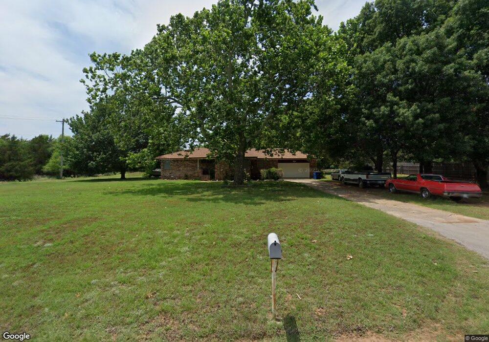
1903 Park Dr Duncan, OK 73533
Estimated Value: $149,000 - $173,000
3
Beds
2
Baths
1,448
Sq Ft
$109/Sq Ft
Est. Value
About This Home
This home is located at 1903 Park Dr, Duncan, OK 73533 and is currently estimated at $157,733, approximately $108 per square foot. 1903 Park Dr is a home located in Stephens County with nearby schools including Plato Elementary School, Duncan Middle School, and Duncan High School.
Ownership History
Date
Name
Owned For
Owner Type
Purchase Details
Closed on
Oct 4, 2023
Sold by
Parker Peggy L
Bought by
Parker Peggy L and Mcafee Leanna L
Current Estimated Value
Purchase Details
Closed on
Sep 14, 2004
Sold by
Mitchell Darrel and Mitchell Eborah
Bought by
Parker Jeffrey B and Parker Peggy L
Purchase Details
Closed on
Jul 9, 2002
Sold by
Pekrul Ronald D
Create a Home Valuation Report for This Property
The Home Valuation Report is an in-depth analysis detailing your home's value as well as a comparison with similar homes in the area
Home Values in the Area
Average Home Value in this Area
Purchase History
| Date | Buyer | Sale Price | Title Company |
|---|---|---|---|
| Parker Peggy L | -- | None Listed On Document | |
| Parker Jeffrey B | $81,000 | -- | |
| -- | $67,500 | -- |
Source: Public Records
Tax History Compared to Growth
Tax History
| Year | Tax Paid | Tax Assessment Tax Assessment Total Assessment is a certain percentage of the fair market value that is determined by local assessors to be the total taxable value of land and additions on the property. | Land | Improvement |
|---|---|---|---|---|
| 2025 | $1,009 | $12,961 | $2,871 | $10,090 |
| 2024 | $1,009 | $12,847 | $2,871 | $9,976 |
| 2023 | $1,009 | $12,473 | $2,871 | $9,602 |
| 2022 | $972 | $12,475 | $2,871 | $9,604 |
| 2021 | $1,028 | $12,076 | $2,871 | $9,205 |
| 2020 | $1,067 | $12,351 | $2,871 | $9,480 |
| 2019 | $1,018 | $11,763 | $2,871 | $8,892 |
| 2018 | $1,050 | $12,097 | $2,871 | $9,226 |
| 2017 | $965 | $11,791 | $2,799 | $8,992 |
| 2016 | $909 | $10,694 | $1,671 | $9,023 |
| 2015 | $828 | $10,185 | $1,433 | $8,752 |
| 2014 | $828 | $9,700 | $1,206 | $8,494 |
Source: Public Records
Map
Nearby Homes
- 0 Townsend St
- 3495 N 5th St
- 2106 Carolin Dr
- 1606 Northridge Dr
- 1800 N 5th St
- 3344 3344 N 5th
- 807 Columbus Place
- 1108 W Plato Rd Unit 29
- 1108 W Plato Rd Unit 1
- 1108 1108 W Plato Unit 40
- 1108 1108 W Plato Unit 17
- 2110 W Club Rd
- 1107 W Elk Ave
- 1527 1527 N 13th
- 2201 W Club Rd
- 1508 N 13th St
- 1412 N 12th St
- 1601 1601 Pearl
- 2518 Wildwood Place
- 1004 Ranchwood Place
- 2001 Park Dr
- 1904 Park Dr
- 1908 1908 Park Dr
- 1908 Park Dr
- 2003 Park Dr
- 2004 Park Dr
- 286633 Old Highway 7
- 7701 Lehman Ln
- 2008 2008 Park Dr
- 2009 Park Dr
- 2008 Park Dr
- 816 Twelve Acre Ln
- 815 Twelve Acre Ln
- 2002 Townsend St
- 1814 Northridge Dr
- 2011 Park Dr
- 1812 Northridge Dr
- 1812 1812 Northridge
- 2012 Park Dr
- 1810 Northridge Dr