1903 Us Route 1 Cape Neddick, ME 03902
Ogunquit NeighborhoodEstimated Value: $752,000 - $851,000
3
Beds
3
Baths
2,024
Sq Ft
$401/Sq Ft
Est. Value
About This Home
This home is located at 1903 Us Route 1, Cape Neddick, ME 03902 and is currently estimated at $812,308, approximately $401 per square foot. 1903 Us Route 1 is a home with nearby schools including Coastal Ridge Elementary School, Village Elementary School, and York Middle School.
Ownership History
Date
Name
Owned For
Owner Type
Purchase Details
Closed on
Feb 10, 2025
Sold by
Knight Richard S and Knight Kristina L
Bought by
Knight Homestead T and Knight K
Current Estimated Value
Purchase Details
Closed on
Oct 31, 2011
Sold by
Knight Richard S and Knight Michelle D
Bought by
Knight Kristina L and Knight 3Rd Richard S
Create a Home Valuation Report for This Property
The Home Valuation Report is an in-depth analysis detailing your home's value as well as a comparison with similar homes in the area
Home Values in the Area
Average Home Value in this Area
Purchase History
| Date | Buyer | Sale Price | Title Company |
|---|---|---|---|
| Knight Homestead T | -- | None Available | |
| Knight Homestead T | -- | None Available | |
| Knight Homestead T | -- | None Available | |
| Knight Kristina L | -- | -- | |
| Knight Kristina L | -- | -- |
Source: Public Records
Tax History Compared to Growth
Tax History
| Year | Tax Paid | Tax Assessment Tax Assessment Total Assessment is a certain percentage of the fair market value that is determined by local assessors to be the total taxable value of land and additions on the property. | Land | Improvement |
|---|---|---|---|---|
| 2024 | $4,980 | $592,900 | $217,700 | $375,200 |
| 2023 | $4,942 | $584,800 | $205,600 | $379,200 |
| 2022 | $4,590 | $536,800 | $180,600 | $356,200 |
| 2021 | $4,594 | $461,700 | $159,900 | $301,800 |
| 2020 | $4,532 | $408,300 | $159,900 | $248,400 |
| 2019 | $4,247 | $380,900 | $132,500 | $248,400 |
| 2018 | $1,477 | $132,500 | $132,500 | $0 |
| 2017 | $1,451 | $132,500 | $132,500 | $0 |
| 2016 | $1,375 | $123,300 | $123,300 | $0 |
| 2015 | $1,307 | $118,800 | $118,800 | $0 |
| 2014 | $1,271 | $118,800 | $118,800 | $0 |
| 2013 | $1,029 | $98,700 | $98,700 | $0 |
Source: Public Records
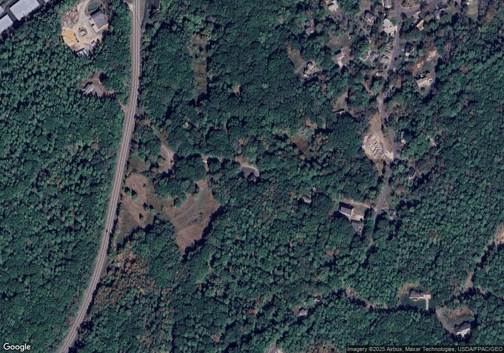
Map
Nearby Homes
- 350 Pine Hill Rd
- 327 Pine Hill Rd
- 62 Pine Hill Rd S Unit 105
- 62 Pine Hill Rd S
- 1 Ruby Rd
- 413 Shore Rd
- 8 Jack Rabbit Ridge
- 45 Woodbury Ln Unit 8
- 20 Zoe's Way
- 4 Jack Rabbit Ridge
- 23 Zoes Way
- 21 Zoes Way
- 16 Zoe's Way
- 31 Perkins Cove Rd
- 117 Perkins Cove Rd
- 113 Perkins Cove Rd
- 35 Main St Unit 8
- 15 Cooley Ln
- 5 Josias Ln
- 33 Rocky Ln
- 380 Pine Hill Rd
- 2 Knight Ln
- 7 Knight Ln
- 346 Pine Hill Rd
- 371 Pine Hill Rd
- 1964 Us Route 1
- 5 Knight Ln
- 393 Pine Hill Rd
- 8 Dirigo Dr
- 401 Pine Hill Rd
- 387 Pine Hill Rd
- 408 Pine Hill Rd
- 414 Pine Hill Rd
- 1900 Us Route 1
- 412 Pine Hill Rd
- 1931 Us Route 1
- 4 Dirigo Dr
- 418 Pine Hill Rd
- 7 Dirigo Dr
- 420 Pine H Rd