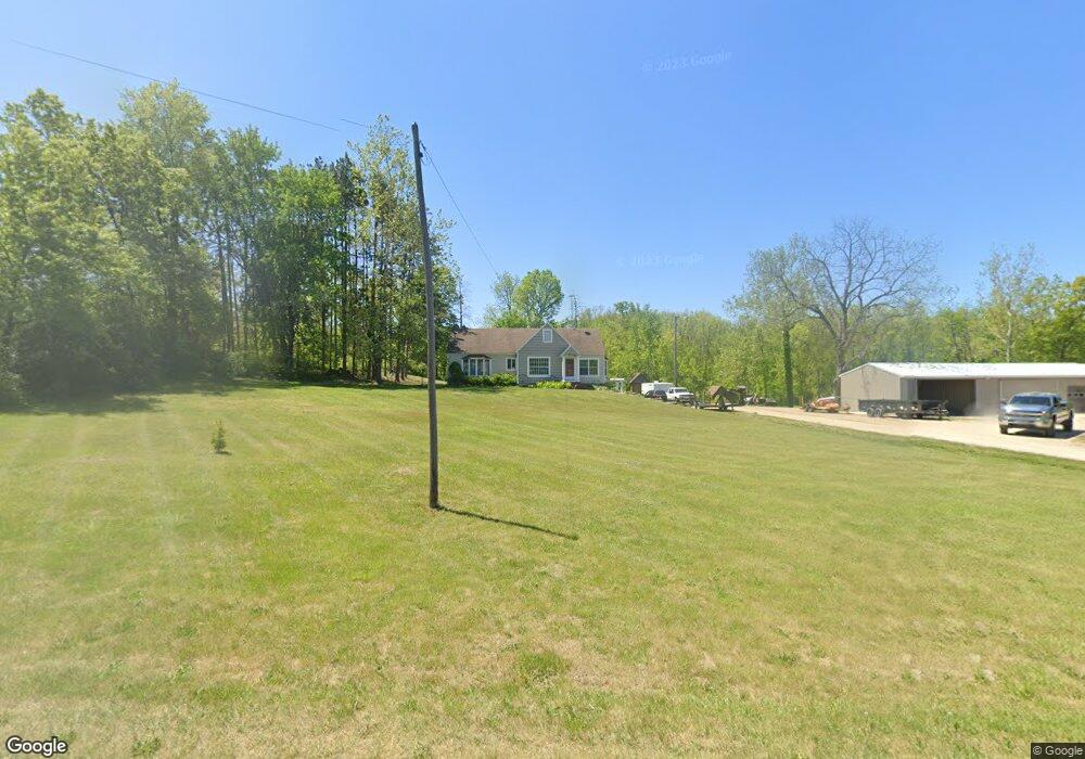
1903 W State Rd Hastings, MI 49058
Estimated Value: $366,000 - $395,969
2
Beds
2
Baths
1,871
Sq Ft
$205/Sq Ft
Est. Value
About This Home
This home is located at 1903 W State Rd, Hastings, MI 49058 and is currently estimated at $383,992, approximately $205 per square foot. 1903 W State Rd is a home located in Barry County with nearby schools including Hastings High School and St. Rose of Lima School.
Ownership History
Date
Name
Owned For
Owner Type
Purchase Details
Closed on
May 6, 2025
Sold by
Seeber Judy and Seeber John
Bought by
Cross Jerry L
Current Estimated Value
Home Financials for this Owner
Home Financials are based on the most recent Mortgage that was taken out on this home.
Original Mortgage
$361,000
Outstanding Balance
$359,722
Interest Rate
6.65%
Mortgage Type
New Conventional
Estimated Equity
$24,270
Purchase Details
Closed on
Dec 13, 2019
Sold by
Dilno David L and Dilno Sandra K
Bought by
Seeber John and Seeber Judith
Create a Home Valuation Report for This Property
The Home Valuation Report is an in-depth analysis detailing your home's value as well as a comparison with similar homes in the area
Home Values in the Area
Average Home Value in this Area
Purchase History
| Date | Buyer | Sale Price | Title Company |
|---|---|---|---|
| Cross Jerry L | $380,000 | Bell Title | |
| Seeber John | $202,050 | None Available |
Source: Public Records
Mortgage History
| Date | Status | Borrower | Loan Amount |
|---|---|---|---|
| Open | Cross Jerry L | $361,000 |
Source: Public Records
Tax History Compared to Growth
Tax History
| Year | Tax Paid | Tax Assessment Tax Assessment Total Assessment is a certain percentage of the fair market value that is determined by local assessors to be the total taxable value of land and additions on the property. | Land | Improvement |
|---|---|---|---|---|
| 2025 | $2,824 | $159,100 | $0 | $0 |
| 2024 | $2,824 | $135,900 | $0 | $0 |
| 2023 | $7,028 | $108,600 | $0 | $0 |
| 2022 | $7,028 | $108,600 | $0 | $0 |
| 2021 | $7,028 | $104,900 | $0 | $0 |
| 2020 | $847 | $100,700 | $0 | $0 |
| 2019 | $847 | $74,400 | $0 | $0 |
| 2018 | $0 | $61,700 | $0 | $0 |
| 2017 | $0 | $60,200 | $0 | $0 |
| 2016 | -- | $59,800 | $0 | $0 |
| 2015 | -- | $54,800 | $0 | $0 |
| 2014 | -- | $54,800 | $0 | $0 |
Source: Public Records
Map
Nearby Homes
- Lot 21 Dakota Trail
- Lot 8 Dakota Trail
- Lot 3 Dakota Trail
- Lot 6 Dakota Trail
- Lot 9 Dakota Trail
- Lot 19 Dakota Trail
- Lot 1 Dakota Trail
- Lot 20 Dakota Trail
- Lot 2 Dakota Trail
- 2182 Ottawa Trail
- 2555 W State Rd
- 1175 Hammond Rd
- 1142 Hammond Rd
- 0 V L Norway Ave Unit 25030541
- 5613 Michigan 179
- 3467 Rork Rd
- 414 W State Rd
- 2776 Woodruff Rd
- V/L S M 43 Hwy
- 502 W State St
- 1885 W State Rd
- 1801 W State Rd
- 1855 W State Rd
- 2093 W State Rd
- 2100 W State Rd
- 1792 W State Rd
- 2110 W State Rd
- 2179 W State Rd
- 2190 W State Rd
- 1795 W State Rd
- 2201 W State Rd
- 1634 W State Rd
- 1791 W State Rd
- 1655 W State Rd
- 2074 Dakota Trail
- 1550 W State Rd
- 1528 W State Rd
- 1530 W State Rd
- 2387 W State Rd
- 1396 W State Rd