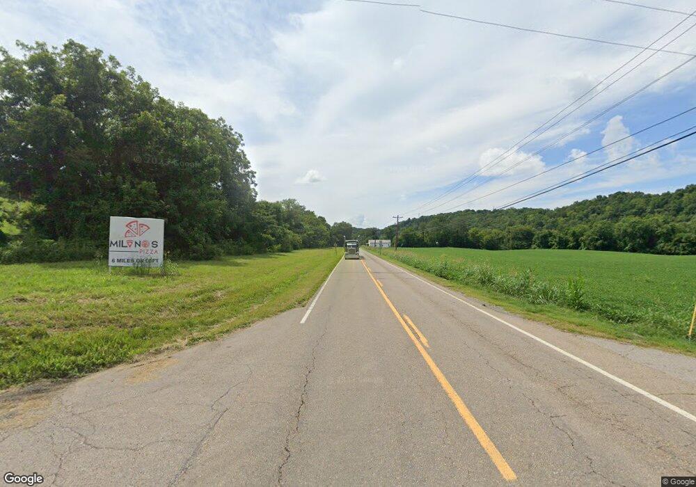
1904 E Highway 25 70 Dandridge, TN 37725
Estimated Value: $355,000
--
Bed
2
Baths
2,045
Sq Ft
$174/Sq Ft
Est. Value
About This Home
This home is located at 1904 E Highway 25 70, Dandridge, TN 37725 and is currently estimated at $355,000, approximately $173 per square foot. 1904 E Highway 25 70 is a home located in Jefferson County.
Ownership History
Date
Name
Owned For
Owner Type
Purchase Details
Closed on
Sep 30, 2019
Sold by
Taylor Robert L and Taylor Sue C
Bought by
Maruti Dada Llc
Current Estimated Value
Home Financials for this Owner
Home Financials are based on the most recent Mortgage that was taken out on this home.
Original Mortgage
$65,000
Interest Rate
3.6%
Mortgage Type
Seller Take Back
Purchase Details
Closed on
Jul 15, 2015
Sold by
Taylor Robert L
Bought by
Taylor Robert L and Taylor Sue C
Purchase Details
Closed on
Mar 14, 1977
Bought by
Taylor Robert L and Taylor Elizabeth
Create a Home Valuation Report for This Property
The Home Valuation Report is an in-depth analysis detailing your home's value as well as a comparison with similar homes in the area
Home Values in the Area
Average Home Value in this Area
Purchase History
| Date | Buyer | Sale Price | Title Company |
|---|---|---|---|
| Maruti Dada Llc | $90,000 | None Available | |
| Taylor Robert L | $110,000 | -- | |
| Taylor Robert L | -- | -- |
Source: Public Records
Mortgage History
| Date | Status | Borrower | Loan Amount |
|---|---|---|---|
| Closed | Maruti Dada Llc | $65,000 |
Source: Public Records
Tax History Compared to Growth
Tax History
| Year | Tax Paid | Tax Assessment Tax Assessment Total Assessment is a certain percentage of the fair market value that is determined by local assessors to be the total taxable value of land and additions on the property. | Land | Improvement |
|---|---|---|---|---|
| 2025 | $179 | $10,075 | $9,225 | $850 |
| 2023 | $179 | $7,800 | $0 | $0 |
| 2022 | $171 | $7,800 | $7,225 | $575 |
| 2021 | $171 | $7,800 | $7,225 | $575 |
| 2020 | $171 | $7,800 | $7,225 | $575 |
| 2019 | $298 | $7,800 | $7,225 | $575 |
| 2018 | $301 | $12,800 | $12,250 | $550 |
| 2017 | $301 | $12,800 | $12,250 | $550 |
| 2016 | $301 | $12,800 | $12,250 | $550 |
| 2015 | $301 | $12,800 | $12,250 | $550 |
| 2014 | $949 | $40,400 | $12,250 | $28,150 |
Source: Public Records
Map
Nearby Homes
- Lot 20 Plantation Point Dr
- 169 Plantation Point Dr
- Lot 11 Stokley Ct
- 1023 Stokley Ct
- lot 5 Deerwood Dr & Sunset Harbor Dr
- Lot 148 Fairmeadow Dr
- 0 Sunset Harbor Dr Unit 1308337
- Lot 142 Arbor Ln
- 142 Arbor Ln
- Lot 43 Sunset Harbor Dr
- 455 Sunset Harbor Dr
- Lot 70r Lakeside Ct
- 1009 Old Newport Hwy
- 1689 U S 25w
- 2943 Flicker Ln
- 1645 E Highway 25 70
- 102 Ridgeline Trail
- Lot 92 Harbor Ridge Ln
- Lot 69 Deerwood Dr
- Lot 5 Deerwood Dr
- 1908 E Highway 25 70
- 1923 E Highway 25 70
- 1923 E Highway 25 70
- Lot 2 Deerwood Dr
- LOT 29 Holly Oaks Ln
- 1851 E Highway 25 70
- 940 Deerwood Dr
- 833 Swannsylvania Rd
- 1957 E Highway 25 70
- 950 Deerwood Dr
- 1845 E Highway 25 70
- 110 Plantation Point Dr
- 110 Plantation Point Dr
- 106 Plantation Point Dr
- 20 Plantation Point Dr
- 34 Plantation Point Dr
- 36 Plantation Point Dr
- 50 Plantation Point Dr
- 114 Plantation Point Dr
- 1960 E Highway 25 70
