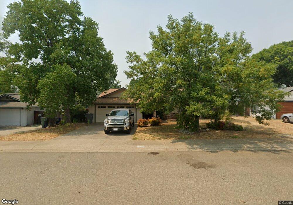
1904 Marlene Ave Unit 1 Redding, CA 96002
Starview NeighborhoodEstimated Value: $354,000 - $368,000
About This Home
This home is located at 1904 Marlene Ave Unit 1, Redding, CA 96002 and is currently estimated at $362,775, approximately $259 per square foot. 1904 Marlene Ave Unit 1 is a home located in Shasta County with nearby schools including Alta Mesa Elementary School, Parsons Junior High School, and Enterprise High School.
Ownership History
We collect this data history from publicly available records. To have your information removed, we recommend requesting removal directly through your county’s website.
Purchase Details
Home Financials for this Owner
Home Financials are based on the most recent Mortgage that was taken out on this home.Purchase Details
Home Values in the Area
Average Home Value in this Area
Purchase History
We collect this data history from publicly available records. To have your information removed, we recommend requesting removal directly through your county’s website.
| Date | Buyer | Sale Price | Title Company |
|---|---|---|---|
| -- | Placer Title Company | ||
| -- | None Available |
Mortgage History
We collect this data history from publicly available records. To have your information removed, we recommend requesting removal directly through your county’s website.
| Date | Status | Borrower | Loan Amount |
|---|---|---|---|
| Open | $299,475 |
Tax History
We collect this data history from publicly available records. To have your information removed, we recommend requesting removal directly through your county’s website.
| Year | Tax Paid | Tax Assessment Tax Assessment Total Assessment is a certain percentage of the fair market value that is determined by local assessors to be the total taxable value of land and additions on the property. | Land | Improvement |
|---|---|---|---|---|
| 2025 | $3,582 | $330,141 | $59,533 | $270,608 |
| 2024 | $3,533 | $323,668 | $58,366 | $265,302 |
| 2023 | $3,533 | $317,322 | $57,222 | $260,100 |
| 2022 | $3,433 | $311,100 | $56,100 | $255,000 |
| 2021 | $3,316 | $305,000 | $55,000 | $250,000 |
| 2020 | $1,773 | $167,511 | $37,217 | $130,294 |
| 2019 | $1,757 | $164,228 | $36,488 | $127,740 |
| 2018 | $1,735 | $161,009 | $35,773 | $125,236 |
| 2017 | $1,764 | $157,853 | $35,072 | $122,781 |
| 2016 | $1,649 | $154,759 | $34,385 | $120,374 |
| 2015 | $1,634 | $152,435 | $33,869 | $118,566 |
| 2014 | $1,621 | $149,450 | $33,206 | $116,244 |
Map
- 1863 Breckenwood Dr
- 1773 Soda Springs Cir
- 1785 Soda Springs Cir
- 2976 West Way
- 3444 Denali St
- 3283 Middleton Ln
- 3293 Middleton Ln
- 3495 Denali St
- 2341 Suzette Ave
- 2914 Yana Ave
- 2354 Suzette Ave
- 1922 Vale Dr
- 2384 Saturn Skyway
- 3547 Laramie St
- 3360 Lawrence Rd
- 2843 Kenco Ave
- 1397 Empress Ln
- 2332 Venus Way
- 3562 Orion Way
- 3930 Sunwood Dr
- 1939 Marlene Ave
- 1925 Marlene Ave
- 1953 Marlene Ave
- 1911 Marlene Ave Unit 1
- 1911 Marlene Ave
- 2003 Marlene Ave
- 3313 Timbercreek Dr
- 1932 Marlene Ave
- 2011 Marlene Ave
- 1918 Marlene Ave
- 3325 Timbercreek Dr
- 2011 Marlene Ave
- 1970 Timbercreek Ct
- 1946 Marlene Ave
- 1904 Marlene Ave
- 2000 Marlene Ave
- 1988 Timbercreek Ct
- 2008 Marlene Ave
- 1887 Marlene Ave
- 2015 Marlene Ave
Ask me questions while you tour the home.