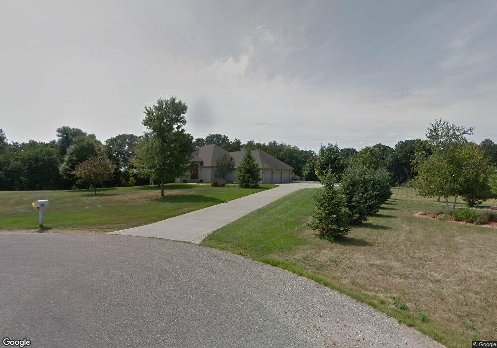
1904 Red Fox Dr Red Wing, MN 55066
Estimated Value: $649,000 - $876,402
4
Beds
4
Baths
2,456
Sq Ft
$301/Sq Ft
Est. Value
About This Home
This home is located at 1904 Red Fox Dr, Red Wing, MN 55066 and is currently estimated at $740,101, approximately $301 per square foot. 1904 Red Fox Dr is a home located in Goodhue County with nearby schools including Burnside Elementary School, Sunnyside Elementary School, and Twin Bluff Middle School.
Ownership History
Date
Name
Owned For
Owner Type
Purchase Details
Closed on
Mar 10, 2025
Sold by
Jeanne M Walch Revocable Trust and Walch Bernard F
Bought by
Bernard F Walch Revocable Trust and Walch
Current Estimated Value
Purchase Details
Closed on
Aug 15, 2000
Sold by
Dahl Jacob and Dahl Pamela
Bought by
Walch Jeanne and Jeanne M Walch Trust
Purchase Details
Closed on
Aug 10, 2000
Sold by
Wedrickas Gary A and Wedrickas Robin A
Bought by
Dahl Jacob M and Dahl Pamela M
Create a Home Valuation Report for This Property
The Home Valuation Report is an in-depth analysis detailing your home's value as well as a comparison with similar homes in the area
Home Values in the Area
Average Home Value in this Area
Purchase History
| Date | Buyer | Sale Price | Title Company |
|---|---|---|---|
| Bernard F Walch Revocable Trust | $500 | None Listed On Document | |
| Walch Jeanne | $62,758 | -- | |
| Dahl Jacob M | $37,800 | -- |
Source: Public Records
Tax History Compared to Growth
Tax History
| Year | Tax Paid | Tax Assessment Tax Assessment Total Assessment is a certain percentage of the fair market value that is determined by local assessors to be the total taxable value of land and additions on the property. | Land | Improvement |
|---|---|---|---|---|
| 2025 | $11,930 | $827,400 | $83,600 | $743,800 |
| 2024 | -- | $812,700 | $83,600 | $729,100 |
| 2023 | $11,626 | $800,900 | $83,600 | $717,300 |
| 2022 | $10,544 | $794,900 | $83,100 | $711,800 |
| 2021 | $9,944 | $669,200 | $83,100 | $586,100 |
| 2020 | $9,662 | $643,700 | $83,100 | $560,600 |
| 2019 | $9,602 | $591,400 | $83,100 | $508,300 |
| 2018 | $7,976 | $594,300 | $83,100 | $511,200 |
| 2017 | $7,728 | $532,600 | $80,400 | $452,200 |
| 2016 | $7,082 | $524,100 | $80,400 | $443,700 |
| 2015 | $6,780 | $506,800 | $80,400 | $426,400 |
| 2014 | -- | $473,900 | $80,400 | $393,500 |
Source: Public Records
Map
Nearby Homes
- 1180 Hewitt Blvd
- 1181 Hewitt Blvd
- 1125 Hewitt Blvd
- 946 Briarwood Dr
- 3463 Briarview Ct
- 2773 Ridgeview Dr
- 998 Hewitt Blvd
- 2750 Ridgeview Dr
- 3560 Graves Dr
- 1978 Neal St
- 113 Burnside Ave S
- 1505 Hillside Dr
- 1706 Siewert St
- 1733 W 6th St
- 1728 W 6th St
- 528 Buchanan St
- 1715 W 5th St
- 504 Buchanan St Unit 506
- 1632 Spruce Dr
- 237 Motel Ave
- 1901 Red Fox Dr
- 1842 Red Fox Dr
- 1865 Red Fox Dr
- 1889 Red Fox Dr
- 1764 Red Fox Dr
- 1729 Red Fox Dr
- 3160 Cougar Ct
- 3065 Cougar Ct
- 1694 Red Fox Dr
- 1685 Red Fox Dr
- 0 Cougar Ct Unit 4469600
- 0 Cougar Ct Unit 4828689
- 0 Cougar Ct Unit 4616044
- 3255 Wild Turkey Rd
- 2985 Cougar Ct
- 3350 Wild Turkey Rd
- 3280 Wild Turkey Rd
- 2895 Cougar Ct
- 3455 Wild Turkey Rd
- 3230 Wild Turkey Rd