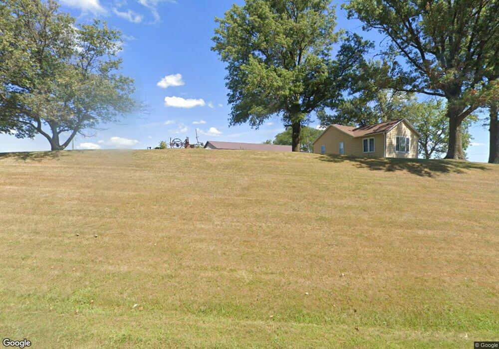
1905 210th St Corning, IA 50841
Estimated Value: $153,000 - $201,000
3
Beds
1
Bath
1,584
Sq Ft
$107/Sq Ft
Est. Value
About This Home
This home is located at 1905 210th St, Corning, IA 50841 and is currently estimated at $169,930, approximately $107 per square foot. 1905 210th St is a home located in Adams County.
Ownership History
Date
Name
Owned For
Owner Type
Purchase Details
Closed on
Jun 30, 2023
Sold by
Sleep Dustin and Sleep Lyndsay
Bought by
Robison Brandon and Keefe Darien
Current Estimated Value
Home Financials for this Owner
Home Financials are based on the most recent Mortgage that was taken out on this home.
Original Mortgage
$125,000
Outstanding Balance
$113,575
Interest Rate
6.09%
Mortgage Type
Construction
Estimated Equity
$56,355
Purchase Details
Closed on
Oct 17, 2019
Sold by
Maeder Klinton E
Bought by
Sleep Dustin
Home Financials for this Owner
Home Financials are based on the most recent Mortgage that was taken out on this home.
Original Mortgage
$107,350
Interest Rate
3.4%
Mortgage Type
Construction
Purchase Details
Closed on
Sep 4, 2015
Sold by
Reagan Michael S and Reagan Jacqueline S
Bought by
Maeder Klinton E
Home Financials for this Owner
Home Financials are based on the most recent Mortgage that was taken out on this home.
Original Mortgage
$63,300
Interest Rate
3.66%
Mortgage Type
New Conventional
Create a Home Valuation Report for This Property
The Home Valuation Report is an in-depth analysis detailing your home's value as well as a comparison with similar homes in the area
Purchase History
| Date | Buyer | Sale Price | Title Company |
|---|---|---|---|
| Robison Brandon | $155,000 | -- | |
| Sleep Dustin | $113,000 | -- | |
| Maeder Klinton E | -- | -- |
Source: Public Records
Mortgage History
| Date | Status | Borrower | Loan Amount |
|---|---|---|---|
| Open | Robison Brandon | $125,000 | |
| Previous Owner | Sleep Dustin | $107,350 | |
| Previous Owner | Maeder Klinton E | $63,300 |
Source: Public Records
Tax History
| Year | Tax Paid | Tax Assessment Tax Assessment Total Assessment is a certain percentage of the fair market value that is determined by local assessors to be the total taxable value of land and additions on the property. | Land | Improvement |
|---|---|---|---|---|
| 2025 | $1,802 | $160,800 | $37,400 | $123,400 |
| 2024 | $1,802 | $152,500 | $37,400 | $115,100 |
| 2023 | $1,884 | $152,500 | $37,400 | $115,100 |
| 2022 | $1,602 | $124,800 | $31,200 | $93,600 |
| 2021 | $1,562 | $100,100 | $3,900 | $96,200 |
| 2020 | $1,430 | $100,100 | $3,900 | $96,200 |
| 2019 | $1,430 | $94,151 | $0 | $0 |
| 2018 | $1,388 | $94,151 | $0 | $0 |
| 2017 | $1,388 | $94,151 | $0 | $0 |
| 2016 | $1,332 | $94,151 | $0 | $0 |
| 2015 | $1,094 | $78,459 | $0 | $0 |
| 2014 | $1,000 | $78,459 | $0 | $0 |
Source: Public Records
Map
Nearby Homes
- 1017 9th St Unit 160 Grove Add
- 604 Terrace Hill Dr
- 1007 9th St
- 1207 Grove Ave
- 806 11th St
- 1403 Benton Ave
- 1303 Benton Ave
- 907 Nodaway St
- 808 Adams St
- 0001 East St
- 0002 East St
- 58.34 Acres Quincy Township
- 1 US Hwy 34
- 901 Timber Ln Unit B
- 73.80 Acres Adams County Iowa
- 87.20 Acres Adams County Iowa
- 1872 260th St
- 1426 260th St
- Tbd Holly Ave
- 1226-B 210th St
- 1903 210th St
- 1894 210th St
- HWY 192 Hwy 192
- 1883 210th St
- 1310 Hull St
- 2013 Joshua Tree Ave
- 2135 Joshua Tree Ave
- 2132 Joshua Tree Ave
- 2136 Joshua Tree Ave
- 1100 Sunset Dr
- 2138 Joshua Tree Ave
- 1211 Hull St
- 1508 8th St
- 1003 Sunset Dr
- 1001 Sunset Dr
- 1205 Hull St
- 907 Sunset Dr
- 1000 Sunset Dr
- 1200 Hull St
- 905 Sunset Dr
Your Personal Tour Guide
Ask me questions while you tour the home.