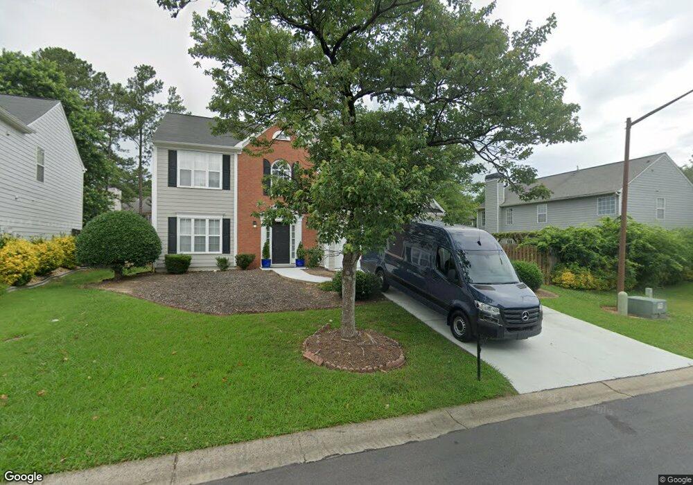
1905 Avensong Ln Unit 2 Marietta, GA 30062
East Cobb NeighborhoodEstimated Value: $434,000 - $477,000
3
Beds
3
Baths
2,031
Sq Ft
$220/Sq Ft
Est. Value
About This Home
This home is located at 1905 Avensong Ln Unit 2, Marietta, GA 30062 and is currently estimated at $447,271, approximately $220 per square foot. 1905 Avensong Ln Unit 2 is a home located in Cobb County with nearby schools including Kincaid Elementary School, Simpson Middle School, and Sprayberry High School.
Ownership History
Date
Name
Owned For
Owner Type
Purchase Details
Closed on
Jun 21, 2024
Sold by
Araujo Leomar F
Bought by
Araujo Leomar F and Araujo Rosana M
Current Estimated Value
Purchase Details
Closed on
Jan 14, 2016
Sold by
Dao Thao-Lihn T
Bought by
Araujo Leomar F
Purchase Details
Closed on
Oct 30, 2002
Sold by
Kim Jason S and Kim Margaret H
Bought by
Dao Thao Lihn T
Home Financials for this Owner
Home Financials are based on the most recent Mortgage that was taken out on this home.
Original Mortgage
$142,400
Interest Rate
6.1%
Mortgage Type
New Conventional
Purchase Details
Closed on
Aug 20, 1997
Sold by
D R Horton Inc Torrey
Bought by
Kim Jason S and Kim Margaret H
Home Financials for this Owner
Home Financials are based on the most recent Mortgage that was taken out on this home.
Original Mortgage
$119,200
Interest Rate
7.5%
Mortgage Type
New Conventional
Create a Home Valuation Report for This Property
The Home Valuation Report is an in-depth analysis detailing your home's value as well as a comparison with similar homes in the area
Home Values in the Area
Average Home Value in this Area
Purchase History
| Date | Buyer | Sale Price | Title Company |
|---|---|---|---|
| Araujo Leomar F | -- | None Listed On Document | |
| Araujo Leomar F | $204,500 | -- | |
| Dao Thao Lihn T | $178,000 | -- | |
| Kim Jason S | $144,100 | -- |
Source: Public Records
Mortgage History
| Date | Status | Borrower | Loan Amount |
|---|---|---|---|
| Previous Owner | Dao Thao Lihn T | $142,400 | |
| Previous Owner | Kim Jason S | $119,200 |
Source: Public Records
Tax History Compared to Growth
Tax History
| Year | Tax Paid | Tax Assessment Tax Assessment Total Assessment is a certain percentage of the fair market value that is determined by local assessors to be the total taxable value of land and additions on the property. | Land | Improvement |
|---|---|---|---|---|
| 2025 | $5,363 | $178,008 | $34,000 | $144,008 |
| 2024 | $4,301 | $142,648 | $28,000 | $114,648 |
| 2023 | $4,301 | $142,648 | $28,000 | $114,648 |
| 2022 | $4,329 | $142,648 | $28,000 | $114,648 |
| 2021 | $3,579 | $117,912 | $28,000 | $89,912 |
| 2020 | $3,192 | $105,172 | $22,000 | $83,172 |
| 2019 | $3,192 | $105,172 | $22,000 | $83,172 |
| 2018 | $2,742 | $90,360 | $18,000 | $72,360 |
| 2017 | $2,352 | $81,800 | $17,120 | $64,680 |
| 2016 | $2,251 | $78,280 | $18,000 | $60,280 |
| 2015 | $2,306 | $78,280 | $18,000 | $60,280 |
| 2014 | $2,113 | $71,112 | $0 | $0 |
Source: Public Records
Map
Nearby Homes
- 2511 Waterstone Way
- 2588 Alcovy Trail NE
- 2591 Alcovy Trail NE
- 1939 Redfield Rd NE
- 1935 Redfield Rd NE
- 1919 Redfield Rd NE
- 2065 Mozelle Dr
- 2686 Evers Dr NE
- 2690 Evers Dr
- 2694 Evers Dr
- 1927 Redfield Rd
- 2702 Evers Dr
- 2539 Silver Star Dr NE
- 2682 Evers Dr
- 1923 Redfield Rd
- 2591 Alcovy Trail
- 2698 Evers Dr
- 1935 Redfield Rd
- 2641 Nicholas Ct NE
- 2671 Nicholas Ct NE
- 1905 Avensong Ln
- 1901 Avensong Ln
- 2309 Leacroft Way
- 1926 Leacroft Ct
- 2317 Leacroft Way
- 1922 Leacroft Ct
- 1906 Avensong Ln NE
- 1906 Avensong Ln
- 1902 Avensong Ln
- 1910 Avensong Ln
- 0 Leacroft Ct
- 1918 Leacroft Ct
- 2316 Leacroft Way
- 2312 Leacroft Way
- 2325 Leacroft Way
- 2297 Leacroft Way
- 2293 Leacroft Way
- 2308 Leacroft Way
- 2320 Leacroft Way
- 1914 Leacroft Ct