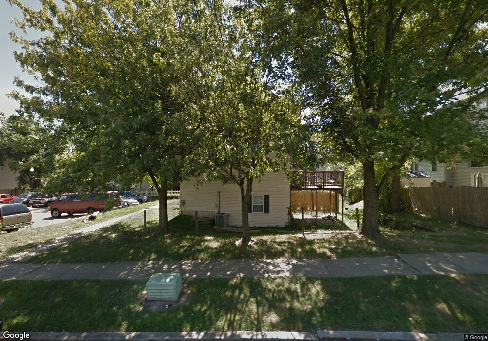
1905 Brookside Dr Edgewood, MD 21040
Estimated Value: $156,836 - $185,000
3
Beds
2
Baths
1,040
Sq Ft
$166/Sq Ft
Est. Value
About This Home
This home is located at 1905 Brookside Dr, Edgewood, MD 21040 and is currently estimated at $172,959, approximately $166 per square foot. 1905 Brookside Dr is a home located in Harford County with nearby schools including William Paca/Old Post Road Elementary School, Edgewood Middle School, and Edgewood High School.
Ownership History
Date
Name
Owned For
Owner Type
Purchase Details
Closed on
May 23, 2011
Sold by
Wells Fargo Bank Na
Bought by
Shaffer Arthur S and Shaffer Teresa A
Current Estimated Value
Purchase Details
Closed on
Apr 27, 2011
Sold by
Wells Fargo Bank Na
Bought by
Shaffer Arthur S and Shaffer Teresa A
Purchase Details
Closed on
Jan 28, 2011
Sold by
Diggs Paul W and Diggs Emeka S
Bought by
Wells Fargo Bank Na
Purchase Details
Closed on
Sep 8, 1997
Sold by
Mooring Gwendolyn Elizabeth Estate
Bought by
Diggs Paul W and Diggs Emeka S
Create a Home Valuation Report for This Property
The Home Valuation Report is an in-depth analysis detailing your home's value as well as a comparison with similar homes in the area
Home Values in the Area
Average Home Value in this Area
Purchase History
| Date | Buyer | Sale Price | Title Company |
|---|---|---|---|
| Shaffer Arthur S | $30,000 | -- | |
| Shaffer Arthur S | $30,000 | Rels Title | |
| Shaffer Arthur S | $30,000 | -- | |
| Wells Fargo Bank Na | $82,191 | None Available | |
| Diggs Paul W | $62,000 | -- | |
| Mooring Gwendolyn Elizabeth Estate | -- | -- |
Source: Public Records
Mortgage History
| Date | Status | Borrower | Loan Amount |
|---|---|---|---|
| Closed | Diggs Paul W | -- |
Source: Public Records
Tax History Compared to Growth
Tax History
| Year | Tax Paid | Tax Assessment Tax Assessment Total Assessment is a certain percentage of the fair market value that is determined by local assessors to be the total taxable value of land and additions on the property. | Land | Improvement |
|---|---|---|---|---|
| 2025 | $809 | $92,833 | $0 | $0 |
| 2024 | $809 | $74,267 | $0 | $0 |
| 2023 | $607 | $55,700 | $25,000 | $30,700 |
| 2022 | $562 | $51,533 | $0 | $0 |
| 2021 | $499 | $47,367 | $0 | $0 |
| 2020 | $499 | $43,200 | $14,000 | $29,200 |
| 2019 | $499 | $43,200 | $14,000 | $29,200 |
| 2018 | $494 | $43,200 | $14,000 | $29,200 |
| 2017 | $580 | $50,700 | $0 | $0 |
| 2016 | -- | $50,700 | $0 | $0 |
| 2015 | $1,240 | $50,700 | $0 | $0 |
| 2014 | $1,240 | $92,900 | $0 | $0 |
Source: Public Records
Map
Nearby Homes
- 1811 Eloise Ln
- 1770 Judy Way
- 1002 Magnolia Woods Ct Unit E
- 1804 Harbinger Trail
- 982 Topview Dr
- 1807 Sandee Ct
- 1143 Chipper Dr
- 1907 Harewood Rd
- 1954 Sidnee Dr
- 1730 Fountain Rock Way Unit C
- 1921 Harewood Rd
- 1719 B Fountain Rock Way Unit 1719-B
- 828 Windstream Way Unit C
- 1304 Clover Valley Way
- 1944 Chipper Dr
- 207 Tulip Ct
- 1892 Emily Dr
- 814 Windstream Way Unit A
- 1302 Clover Valley Way Unit C
- 1826 Hanson Rd
- 1907 Brookside Dr
- 1903 Brookside Dr
- 1901 Brookside Dr
- 1883 Brookside Dr
- 1909 Brookside Dr
- 1911 Brookside Dr
- 1881 Brookside Dr
- 1887 Brookside Dr
- 1913 Brookside Dr
- 1879 Brookside Dr
- 1915 Brookside Dr
- 1877 Brookside Dr
- 1917 Brookside Dr
- 1873 Brookside Dr
- 1919 Brookside Dr
- 1871 Brookside Dr
- 1921 Brookside Dr
- 1869 Brookside Dr
- 1897 Grempler Way
- 1851 Simons Ct