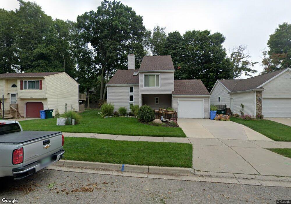
1905 Carson St Lansing, MI 48911
Southern Lansing NeighborhoodEstimated Value: $220,226 - $282,000
3
Beds
2
Baths
1,518
Sq Ft
$163/Sq Ft
Est. Value
About This Home
This home is located at 1905 Carson St, Lansing, MI 48911 and is currently estimated at $248,057, approximately $163 per square foot. 1905 Carson St is a home located in Ingham County with nearby schools including Elliott Elementary School, Hope Middle School, and Holt Junior High School.
Ownership History
Date
Name
Owned For
Owner Type
Purchase Details
Closed on
Feb 9, 2021
Sold by
Marble Jody L
Bought by
Marble Jody L and Gorsline Minda
Current Estimated Value
Home Financials for this Owner
Home Financials are based on the most recent Mortgage that was taken out on this home.
Original Mortgage
$95,500
Outstanding Balance
$54,851
Interest Rate
2.65%
Mortgage Type
New Conventional
Estimated Equity
$193,206
Purchase Details
Closed on
Jul 14, 2010
Sold by
Schneider Lori L
Bought by
Marble Jody L
Purchase Details
Closed on
Mar 24, 2000
Sold by
Pollem Polli A and Stripp Polli A
Bought by
Marble Jody L and Schneider Lori L
Home Financials for this Owner
Home Financials are based on the most recent Mortgage that was taken out on this home.
Original Mortgage
$100,200
Interest Rate
7.75%
Mortgage Type
Purchase Money Mortgage
Purchase Details
Closed on
Jun 1, 1995
Create a Home Valuation Report for This Property
The Home Valuation Report is an in-depth analysis detailing your home's value as well as a comparison with similar homes in the area
Home Values in the Area
Average Home Value in this Area
Purchase History
| Date | Buyer | Sale Price | Title Company |
|---|---|---|---|
| Marble Jody L | -- | Liberty Title | |
| Marble Jody L | -- | None Available | |
| Marble Jody L | $117,900 | -- | |
| -- | $98,000 | -- |
Source: Public Records
Mortgage History
| Date | Status | Borrower | Loan Amount |
|---|---|---|---|
| Open | Marble Jody L | $95,500 | |
| Previous Owner | Marble Jody L | $100,200 |
Source: Public Records
Tax History
| Year | Tax Paid | Tax Assessment Tax Assessment Total Assessment is a certain percentage of the fair market value that is determined by local assessors to be the total taxable value of land and additions on the property. | Land | Improvement |
|---|---|---|---|---|
| 2025 | $3,722 | $99,700 | $13,000 | $86,700 |
| 2024 | $22 | $89,300 | $13,000 | $76,300 |
| 2023 | $3,491 | $80,600 | $13,000 | $67,600 |
| 2022 | $3,152 | $74,000 | $10,900 | $63,100 |
| 2021 | $3,104 | $70,200 | $10,900 | $59,300 |
| 2020 | $3,125 | $73,000 | $10,900 | $62,100 |
| 2019 | $2,964 | $66,500 | $10,900 | $55,600 |
| 2018 | $2,937 | $57,000 | $10,900 | $46,100 |
| 2017 | $2,815 | $57,000 | $10,900 | $46,100 |
| 2016 | $2,733 | $49,700 | $10,900 | $38,800 |
| 2015 | $2,733 | $45,300 | $21,741 | $23,559 |
| 2014 | $2,733 | $43,000 | $19,711 | $23,289 |
Source: Public Records
Map
Nearby Homes
- 4485 Helmsway Dr
- 6815 Aurelius Rd
- 2702 Yachtsman Dr
- 7011 Aurelius Rd
- 2670 Brigantine Dr
- 2541 Selma St
- 1521 Born Trail Unit lot 232
- 4345 Keelson Dr
- 7061 W Bickett Blvd
- 4348 Norway St
- 2564 Winterberry St
- 1265 Roth Dr
- 1743 Maisonette Dr
- 6354 Beechfield Dr Unit 64
- 6309 Beechfield Dr Unit 45
- 2545 Limerick Cir Unit 8
- 6300 Beechfield Dr Unit 87
- 6264 Beechfield Dr Unit 97
- 6223 Beechfield Dr Unit 8
- 6240 Beechfield Dr Unit 101