Estimated Value: $447,000 - $552,000
4
Beds
4
Baths
2,624
Sq Ft
$189/Sq Ft
Est. Value
About This Home
This home is located at 1905 Champlain Dr, Niles, MI 49120 and is currently estimated at $496,983, approximately $189 per square foot. 1905 Champlain Dr is a home located in Berrien County with nearby schools including Ballard Elementary School, Oak Manor Sixth Grade Center, and Ring Lardner Middle School.
Ownership History
Date
Name
Owned For
Owner Type
Purchase Details
Closed on
Apr 16, 2019
Sold by
Hyink Wendell J and Hyink Linda
Bought by
Revoir George E and Revoir Linda A
Current Estimated Value
Home Financials for this Owner
Home Financials are based on the most recent Mortgage that was taken out on this home.
Original Mortgage
$312,000
Outstanding Balance
$272,047
Interest Rate
4.3%
Mortgage Type
VA
Estimated Equity
$224,936
Purchase Details
Closed on
Apr 10, 2019
Sold by
Hyink Wendell J and Hyink Linda
Bought by
Revoir George E and Revoir Linda A
Home Financials for this Owner
Home Financials are based on the most recent Mortgage that was taken out on this home.
Original Mortgage
$312,000
Outstanding Balance
$272,047
Interest Rate
4.3%
Mortgage Type
VA
Estimated Equity
$224,936
Purchase Details
Closed on
Apr 5, 1999
Create a Home Valuation Report for This Property
The Home Valuation Report is an in-depth analysis detailing your home's value as well as a comparison with similar homes in the area
Purchase History
| Date | Buyer | Sale Price | Title Company |
|---|---|---|---|
| Revoir George E | $312,000 | First American Title | |
| Revoir George E | $312,000 | First American Title Ins Co | |
| -- | $185,000 | -- |
Source: Public Records
Mortgage History
| Date | Status | Borrower | Loan Amount |
|---|---|---|---|
| Open | Revoir George E | $312,000 | |
| Closed | Revoir George E | $312,000 |
Source: Public Records
Tax History
| Year | Tax Paid | Tax Assessment Tax Assessment Total Assessment is a certain percentage of the fair market value that is determined by local assessors to be the total taxable value of land and additions on the property. | Land | Improvement |
|---|---|---|---|---|
| 2025 | $4,371 | $240,700 | $0 | $0 |
| 2024 | $2,401 | $236,600 | $0 | $0 |
| 2023 | $2,287 | $213,000 | $0 | $0 |
| 2022 | $2,178 | $167,100 | $0 | $0 |
| 2021 | $3,874 | $164,100 | $35,700 | $128,400 |
| 2020 | $3,944 | $167,000 | $0 | $0 |
| 2019 | $3,262 | $134,600 | $32,500 | $102,100 |
| 2018 | $3,183 | $134,600 | $0 | $0 |
| 2017 | $3,180 | $136,900 | $0 | $0 |
| 2016 | $3,088 | $150,800 | $0 | $0 |
| 2015 | $3,079 | $149,600 | $0 | $0 |
| 2014 | $1,408 | $130,700 | $0 | $0 |
Source: Public Records
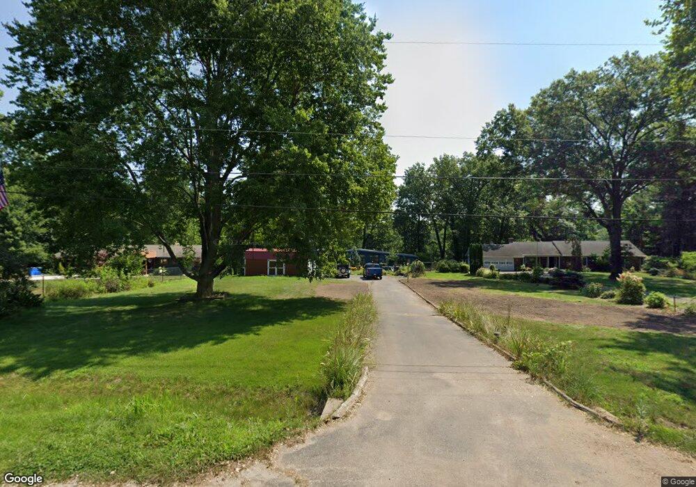
Map
Nearby Homes
- 1025 Joliet Dr
- 2065 W River Rd
- 2120 S 3rd St
- 1117 Lawndale Ave
- 2142 S 11 Th St
- 1950 S 13th St Unit Lot 88
- 1950 S 13th St Unit lot 213
- V/L Wesaw Rd
- 1313 South St
- 2103 S 13th St
- 1220 S 3rd St
- 1408 Cherry Ln
- 1640 Forest St
- 1610 Whitetail Cir
- 1920 S 15th St
- 1680 River Bend Blvd
- 1670 River Bend Blvd
- 1650 Whitetail Cir
- 2325 Fair Oaks St E
- 1420 Country Club Dr
- 1875 Champlain Dr
- 1915 Champlain Dr
- 1865 Champlain Dr
- 1925 Champlain Dr
- 1910 Champlain Dr
- 1855 Champlain Dr
- 1880 Champlain Dr
- 1920 Champlain Dr
- 1860 Champlain Dr
- 1870 Champlain Dr
- 1845 Champlain Dr
- 1930 Champlain Dr
- 1025 Marquette Rd
- 1020 Marquette Rd
- 1850 Champlain Dr
- 1835 Champlain Dr
- 1945 Champlain Dr
- 1840 Champlain Dr
- 1025 Allouez Dr
- 1030 Marquette Rd
Your Personal Tour Guide
Ask me questions while you tour the home.